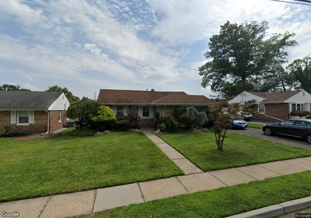
46 Gurley Rd Unit n/a Edison, NJ 08817
Estimated Value: $471,000 - $550,000
3
Beds
1
Bath
1,618
Sq Ft
$319/Sq Ft
Est. Value
About This Home
This home is located at 46 Gurley Rd Unit n/a, Edison, NJ 08817 and is currently estimated at $515,713, approximately $318 per square foot. 46 Gurley Rd Unit n/a is a home located in Middlesex County with nearby schools including Benjamin Franklin Elementary School, Herbert Hoover Middle School, and Edison High School.
Ownership History
Date
Name
Owned For
Owner Type
Purchase Details
Closed on
Jul 14, 2010
Sold by
Kim Hae Sook
Bought by
Federal Home Loan Mortgage Corp
Current Estimated Value
Purchase Details
Closed on
Jan 28, 2010
Sold by
Federal Home Loan Mortgage Corporation
Bought by
Malekkides Christopher
Home Financials for this Owner
Home Financials are based on the most recent Mortgage that was taken out on this home.
Original Mortgage
$142,400
Interest Rate
4.88%
Mortgage Type
New Conventional
Purchase Details
Closed on
Dec 30, 2002
Sold by
El Raheb Maher
Bought by
Kim Hae
Home Financials for this Owner
Home Financials are based on the most recent Mortgage that was taken out on this home.
Original Mortgage
$190,000
Interest Rate
5.99%
Create a Home Valuation Report for This Property
The Home Valuation Report is an in-depth analysis detailing your home's value as well as a comparison with similar homes in the area
Home Values in the Area
Average Home Value in this Area
Purchase History
| Date | Buyer | Sale Price | Title Company |
|---|---|---|---|
| Federal Home Loan Mortgage Corp | -- | None Available | |
| Malekkides Christopher | $180,000 | Fidelity Natl Title Ins Co | |
| Kim Hae | $242,000 | -- |
Source: Public Records
Mortgage History
| Date | Status | Borrower | Loan Amount |
|---|---|---|---|
| Previous Owner | Malekkides Christopher | $142,400 | |
| Previous Owner | Kim Hae | $190,000 |
Source: Public Records
Tax History Compared to Growth
Tax History
| Year | Tax Paid | Tax Assessment Tax Assessment Total Assessment is a certain percentage of the fair market value that is determined by local assessors to be the total taxable value of land and additions on the property. | Land | Improvement |
|---|---|---|---|---|
| 2025 | $8,191 | $137,600 | $70,000 | $67,600 |
| 2024 | $8,147 | $137,600 | $70,000 | $67,600 |
| 2023 | $8,147 | $137,600 | $70,000 | $67,600 |
| 2022 | $8,150 | $137,600 | $70,000 | $67,600 |
| 2021 | $8,123 | $137,600 | $70,000 | $67,600 |
| 2020 | $8,048 | $137,600 | $70,000 | $67,600 |
| 2019 | $7,596 | $137,600 | $70,000 | $67,600 |
| 2018 | $7,463 | $137,600 | $70,000 | $67,600 |
| 2017 | $7,394 | $137,600 | $70,000 | $67,600 |
| 2016 | $7,260 | $137,600 | $70,000 | $67,600 |
| 2015 | $6,982 | $137,600 | $70,000 | $67,600 |
| 2014 | $6,778 | $137,600 | $70,000 | $67,600 |
Source: Public Records
Map
Nearby Homes
- 14 Roger Rd
- 22 Trenton Ave
- 117 Old Post Rd
- 12 Old Post Rd
- 5 Meyer Rd
- 16 Chapel St
- 11 Marie Ln
- 113 Stony Rd
- 2505 Woodbridge Ave Unit 26L
- 2505 Woodbridge Ave Unit 9 L
- 2505 Woodbridge Ave Unit 19L
- 2 Hector Ave
- 6 Hector Ave
- 92 Lake View Blvd
- 40 Cambridge Rd
- 134 Lake View Blvd
- 106 College Dr
- 45 Loring Ave
- 203 College Dr
- 491 College Dr Unit 491