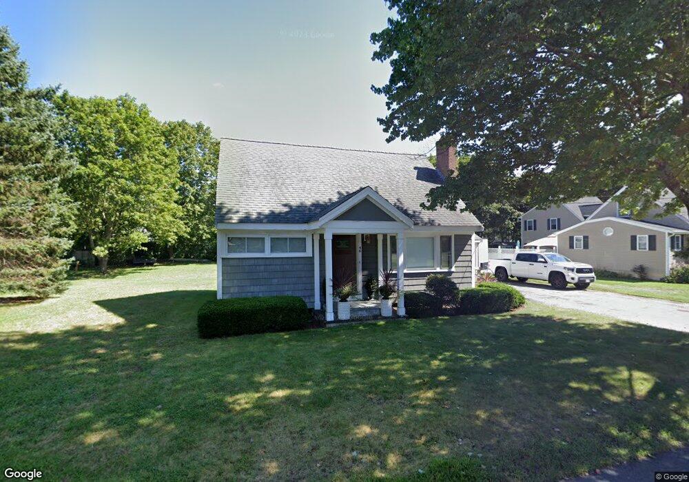
46 Hamilton Rd Wrentham, MA 02093
Estimated Value: $447,000 - $540,000
3
Beds
1
Bath
1,008
Sq Ft
$490/Sq Ft
Est. Value
About This Home
This home is located at 46 Hamilton Rd, Wrentham, MA 02093 and is currently estimated at $493,427, approximately $489 per square foot. 46 Hamilton Rd is a home located in Norfolk County with nearby schools including Delaney Elementary School, Charles E Roderick, and Foxborough Regional Charter School.
Ownership History
Date
Name
Owned For
Owner Type
Purchase Details
Closed on
Jul 20, 2000
Sold by
Gelineau Blanche R
Bought by
Gelineau Alan W
Current Estimated Value
Home Financials for this Owner
Home Financials are based on the most recent Mortgage that was taken out on this home.
Original Mortgage
$107,000
Outstanding Balance
$38,424
Interest Rate
8.28%
Mortgage Type
Purchase Money Mortgage
Estimated Equity
$455,003
Create a Home Valuation Report for This Property
The Home Valuation Report is an in-depth analysis detailing your home's value as well as a comparison with similar homes in the area
Purchase History
| Date | Buyer | Sale Price | Title Company |
|---|---|---|---|
| Gelineau Alan W | $117,000 | -- |
Source: Public Records
Mortgage History
| Date | Status | Borrower | Loan Amount |
|---|---|---|---|
| Open | Gelineau Alan W | $107,000 |
Source: Public Records
Tax History
| Year | Tax Paid | Tax Assessment Tax Assessment Total Assessment is a certain percentage of the fair market value that is determined by local assessors to be the total taxable value of land and additions on the property. | Land | Improvement |
|---|---|---|---|---|
| 2025 | $5,657 | $488,100 | $289,600 | $198,500 |
| 2024 | $5,454 | $454,500 | $289,600 | $164,900 |
| 2023 | $5,068 | $401,600 | $263,300 | $138,300 |
| 2022 | $4,351 | $318,300 | $202,700 | $115,600 |
| 2021 | $4,539 | $322,600 | $212,400 | $110,200 |
| 2020 | $4,345 | $304,900 | $191,500 | $113,400 |
| 2019 | $4,021 | $284,800 | $176,800 | $108,000 |
| 2018 | $4,121 | $289,400 | $176,900 | $112,500 |
| 2017 | $3,909 | $274,300 | $173,500 | $100,800 |
| 2016 | $3,818 | $267,400 | $168,500 | $98,900 |
| 2015 | $3,744 | $249,900 | $162,000 | $87,900 |
| 2014 | $3,483 | $227,500 | $142,800 | $84,700 |
Source: Public Records
Map
Nearby Homes
- 15 Tilting Rock Rd
- 10 Nature View Dr
- 15 Nature View Dr
- 282 Thurston St
- 576 Dedham St
- 1 Weber Farm Rd Unit 1
- 135 Creek St Unit 2
- 483 Thurston St
- 4 Weber Farm Rd Unit 4
- 6 Weber Farm Rd Unit 6
- 11 Weber Farm Rd Unit 11
- 8 Weber Farm Rd Unit 8
- 3 Earle Stewart Ln
- 2 Earle Stewart Ln
- 12 Earle Stewart Ln
- 10 Earle Stewart Ln Unit Lot 5
- 30 Weber Farm Rd Unit 30
- 25 Foxboro Rd
- 500 Franklin St
- 131 Washington St Unit 50
Your Personal Tour Guide
Ask me questions while you tour the home.