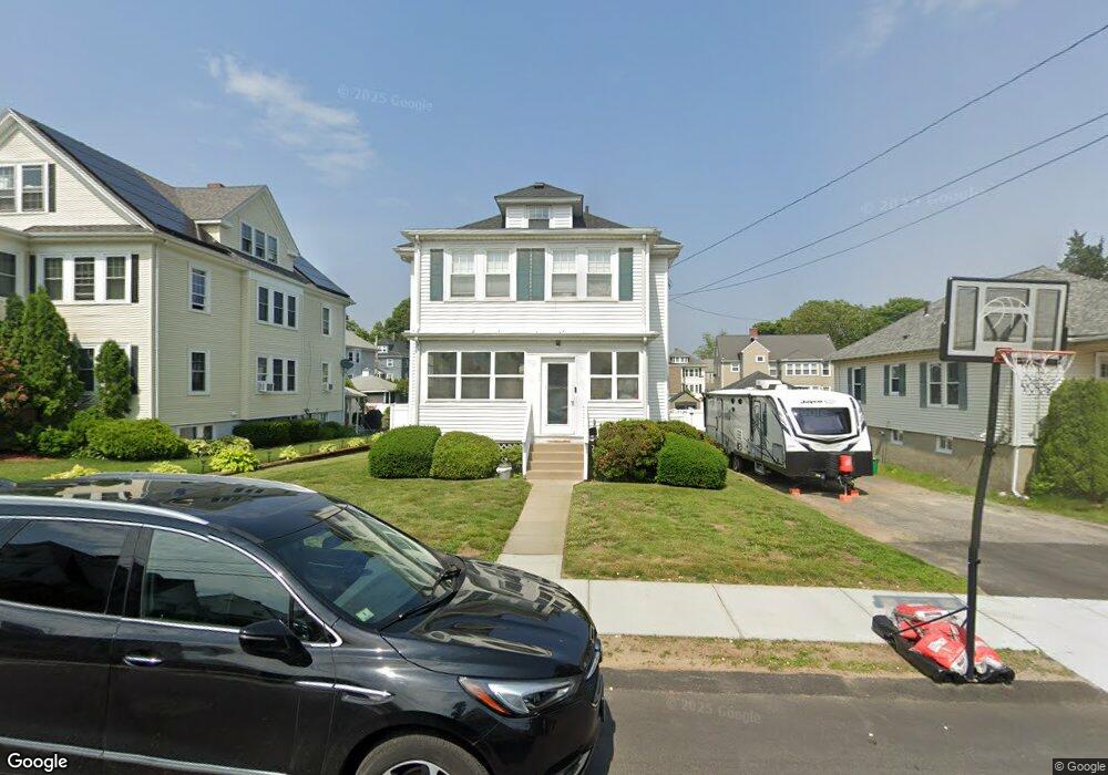
46 Harding Rd Norwood, MA 02062
Norwood Centre NeighborhoodEstimated Value: $670,000 - $799,000
3
Beds
2
Baths
1,603
Sq Ft
$461/Sq Ft
Est. Value
About This Home
This home is located at 46 Harding Rd, Norwood, MA 02062 and is currently estimated at $738,935, approximately $460 per square foot. 46 Harding Rd is a home located in Norfolk County with nearby schools including Norwood High School, Norwood Montessori School, and St Catherine Of Siena School.
Ownership History
Date
Name
Owned For
Owner Type
Purchase Details
Closed on
Jun 25, 2010
Sold by
Smith Carl E and Smith Joan M
Bought by
Shukhman Danna and Lynch Edward M
Current Estimated Value
Home Financials for this Owner
Home Financials are based on the most recent Mortgage that was taken out on this home.
Original Mortgage
$276,075
Outstanding Balance
$185,824
Interest Rate
4.98%
Mortgage Type
Purchase Money Mortgage
Estimated Equity
$553,111
Create a Home Valuation Report for This Property
The Home Valuation Report is an in-depth analysis detailing your home's value as well as a comparison with similar homes in the area
Home Values in the Area
Average Home Value in this Area
Purchase History
| Date | Buyer | Sale Price | Title Company |
|---|---|---|---|
| Shukhman Danna | $355,000 | -- |
Source: Public Records
Mortgage History
| Date | Status | Borrower | Loan Amount |
|---|---|---|---|
| Open | Shukhman Danna | $276,075 |
Source: Public Records
Tax History Compared to Growth
Tax History
| Year | Tax Paid | Tax Assessment Tax Assessment Total Assessment is a certain percentage of the fair market value that is determined by local assessors to be the total taxable value of land and additions on the property. | Land | Improvement |
|---|---|---|---|---|
| 2025 | $62 | $589,000 | $268,400 | $320,600 |
| 2024 | $5,996 | $572,700 | $268,400 | $304,300 |
| 2023 | $5,549 | $537,700 | $233,400 | $304,300 |
| 2022 | $5,404 | $502,700 | $212,100 | $290,600 |
| 2021 | $5,085 | $448,400 | $204,300 | $244,100 |
| 2020 | $4,835 | $433,600 | $204,300 | $229,300 |
| 2019 | $4,462 | $409,700 | $194,600 | $215,100 |
| 2018 | $4,440 | $400,400 | $185,300 | $215,100 |
| 2017 | $4,133 | $370,700 | $185,300 | $185,400 |
| 2016 | $3,852 | $346,400 | $185,300 | $161,100 |
| 2015 | $3,861 | $336,600 | $176,800 | $159,800 |
| 2014 | $3,724 | $321,600 | $160,400 | $161,200 |
Source: Public Records
Map
Nearby Homes
- 108 Winslow Ave
- 25-29 Chapel St
- 909 Washington St Unit 14
- 909 Washington St
- 18 Laurel Rd
- 10 Victoria Cir
- 1086 Washington St
- 19-21
- 785 Washington St Unit 206
- 785 Washington St Unit 207
- 15-17 Heaton Ave
- 70 Endicott St Unit 404
- 34 Austin St Unit 1L
- 8 Endicott St
- 11 Beacon Park Rd
- 21 Walpole St
- 3 Endicott St Unit 1
- 22 Hillside Ave
- 28 Shaw St
- 14 Alandale Pkwy
- 40-42 Harding Rd
- 50 Harding Rd
- 40 Harding Rd Unit 42
- 42 Harding Rd Unit 42
- 34 Harding Rd Unit 36
- 12 Saunders Rd
- 12 Saunders Rd Unit 2
- 12 Saunders Rd Unit 12
- 12 Saunders Rd Unit 1
- 20 Saunders Rd
- 4 Gardner Rd
- 16 Saunders Rd
- 8 Gardner Rd
- 169 Winslow Ave
- 5 Gardner Rd
- 9 Gardner Rd
- 181 Winslow Ave Unit 183
- 181 Winslow Ave Unit 3
- 24 Saunders Rd Unit 26
- 26 Saunders Rd Unit 26