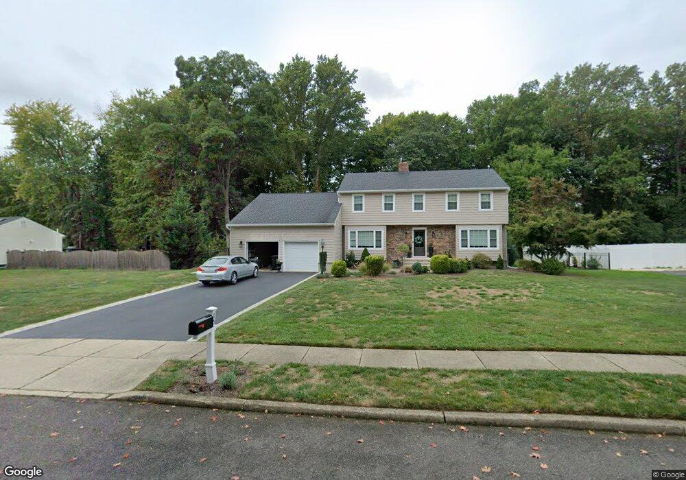
46 Hawthorne Rd Red Bank, NJ 07701
New Monmouth NeighborhoodEstimated Value: $981,954 - $1,124,000
4
Beds
3
Baths
2,376
Sq Ft
$444/Sq Ft
Est. Value
About This Home
This home is located at 46 Hawthorne Rd, Red Bank, NJ 07701 and is currently estimated at $1,054,989, approximately $444 per square foot. 46 Hawthorne Rd is a home located in Monmouth County with nearby schools including Nut Swamp Elementary School, Thompson Middle School, and Middletown - South High School.
Ownership History
Date
Name
Owned For
Owner Type
Purchase Details
Closed on
Nov 18, 2013
Sold by
Artale Robert F and Artale Joanne
Bought by
Braca David J and Braca Christine L
Current Estimated Value
Home Financials for this Owner
Home Financials are based on the most recent Mortgage that was taken out on this home.
Original Mortgage
$498,750
Outstanding Balance
$371,055
Interest Rate
4.17%
Mortgage Type
New Conventional
Estimated Equity
$683,934
Create a Home Valuation Report for This Property
The Home Valuation Report is an in-depth analysis detailing your home's value as well as a comparison with similar homes in the area
Home Values in the Area
Average Home Value in this Area
Purchase History
| Date | Buyer | Sale Price | Title Company |
|---|---|---|---|
| Braca David J | $525,000 | Agent For Old Republic |
Source: Public Records
Mortgage History
| Date | Status | Borrower | Loan Amount |
|---|---|---|---|
| Open | Braca David J | $498,750 |
Source: Public Records
Tax History Compared to Growth
Tax History
| Year | Tax Paid | Tax Assessment Tax Assessment Total Assessment is a certain percentage of the fair market value that is determined by local assessors to be the total taxable value of land and additions on the property. | Land | Improvement |
|---|---|---|---|---|
| 2025 | $13,922 | $848,400 | $443,500 | $404,900 |
| 2024 | $13,449 | $846,300 | $437,200 | $409,100 |
| 2023 | $13,449 | $773,800 | $374,300 | $399,500 |
| 2022 | $11,900 | $660,000 | $274,200 | $385,800 |
| 2021 | $11,900 | $572,100 | $229,000 | $343,100 |
| 2020 | $12,165 | $569,000 | $229,000 | $340,000 |
| 2019 | $11,931 | $564,900 | $229,000 | $335,900 |
| 2018 | $11,999 | $553,700 | $229,000 | $324,700 |
| 2017 | $11,550 | $543,800 | $229,000 | $314,800 |
| 2016 | $10,487 | $492,100 | $214,700 | $277,400 |
| 2015 | $10,458 | $489,600 | $214,700 | $274,900 |
| 2014 | $9,949 | $465,900 | $214,700 | $251,200 |
Source: Public Records
Map
Nearby Homes
- 11 Mayflower Dr
- 24 Princeton St
- 44 Monroe St
- 163 Lexington Ct
- 833 Lincoln St
- 143 Lexington Ct
- 109 Lexington Ct
- 126 Manchester Ct
- 19 Manchester Ct
- 11 Manchester Ct
- 7 Lexington Ct
- 304 April Way Unit 304
- 211 April Way Unit 211
- 74 Fish Hawk Dr
- 0 Hamiltonian Dr Unit 22514980
- 50 Hancock Ct Unit 129B
- 17 Terry Ln
- 3 Auburn Ct
- 60 Falmouth Ct
- 16 Concord Ct Unit 15D
- 42 Hawthorne Rd
- 50 Hawthorne Rd
- 151 Ivy Hill Rd
- 41 Ravine Rd
- 45 Ravine Rd
- 38 Hawthorne Rd
- 47 Hawthorne Rd
- 43 Hawthorne Rd
- 51 Hawthorne Rd
- 37 Ravine Rd
- 39 Hawthorne Rd
- 170 Ivy Hill Rd
- 34 Hawthorne Rd
- 174 Ivy Hill Rd
- 35 Hawthorne Rd
- 164 Ivy Hill Rd
- 33 Ravine Rd
- 30 Hawthorne Rd
- 48 Ravine Rd
- 44 Ravine Rd