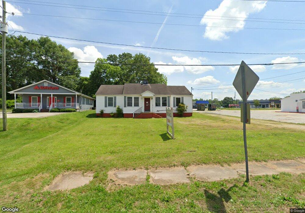
46 Highway 123 Toccoa, GA 30577
Estimated Value: $102,592
Studio
--
Bath
1,584
Sq Ft
$65/Sq Ft
Est. Value
About This Home
This home is located at 46 Highway 123, Toccoa, GA 30577 and is currently estimated at $102,592, approximately $64 per square foot. 46 Highway 123 is a home located in Stephens County with nearby schools including Stephens County High School.
Ownership History
Date
Name
Owned For
Owner Type
Purchase Details
Closed on
Aug 19, 2022
Sold by
Rogers Ronnie
Bought by
Dooley J Marion
Current Estimated Value
Purchase Details
Closed on
Apr 27, 2021
Sold by
Buford Properies Llc
Bought by
Rogers Ronnie
Purchase Details
Closed on
Oct 26, 2006
Sold by
Buford Finance Company Inc
Bought by
Buford Properties Llc
Purchase Details
Closed on
Nov 22, 2002
Bought by
<Buyer Info Not Present>
Purchase Details
Closed on
Feb 1, 1996
Bought by
<Buyer Info Not Present>
Purchase Details
Closed on
Feb 1, 1992
Bought by
<Buyer Info Not Present>
Create a Home Valuation Report for This Property
The Home Valuation Report is an in-depth analysis detailing your home's value as well as a comparison with similar homes in the area
Purchase History
| Date | Buyer | Sale Price | Title Company |
|---|---|---|---|
| Dooley J Marion | $85,000 | -- | |
| Rogers Ronnie | $59,000 | -- | |
| Buford Properties Llc | -- | -- | |
| Buford Properties Llc | -- | -- | |
| <Buyer Info Not Present> | -- | -- | |
| <Buyer Info Not Present> | $65,500 | -- | |
| <Buyer Info Not Present> | $39,500 | -- |
Source: Public Records
Tax History
| Year | Tax Paid | Tax Assessment Tax Assessment Total Assessment is a certain percentage of the fair market value that is determined by local assessors to be the total taxable value of land and additions on the property. | Land | Improvement |
|---|---|---|---|---|
| 2025 | $982 | $28,132 | $14,120 | $14,012 |
| 2024 | $1,003 | $28,132 | $14,120 | $14,012 |
| 2023 | $995 | $28,132 | $14,120 | $14,012 |
| 2022 | $838 | $28,132 | $14,120 | $14,012 |
| 2021 | $929 | $29,708 | $16,120 | $13,588 |
| 2020 | $938 | $29,708 | $16,120 | $13,588 |
| 2019 | $942 | $29,708 | $16,120 | $13,588 |
| 2018 | $942 | $29,708 | $16,120 | $13,588 |
| 2017 | $957 | $29,708 | $16,120 | $13,588 |
| 2016 | $948 | $29,911 | $16,120 | $13,791 |
| 2015 | $993 | $29,911 | $16,120 | $13,791 |
| 2014 | $1,012 | $29,968 | $16,120 | $13,848 |
| 2013 | -- | $30,240 | $16,120 | $14,120 |
Source: Public Records
Map
Nearby Homes
- 0 Hwy 17 Alt Unit 10577119
- 41 Norwood Ave
- 45 Hayes St
- 899 E Doyle St
- 59 Sunset Ln
- 100 Forest Ave
- 481 Collins Rd
- 27 Hilltop Ln
- 122 King St
- 148 Moreland Dr
- 30 Moore Ave
- 288 Davis Ave
- 43 Mountain View Dr
- 9 Poplar St
- 29 Mountain View Dr
- 22 Green Hill Place
- 1168 Rosedale St
- 185 Stancil Dr
- 84 Oak Creek Cir
- 0 Stephen Dr Unit 10710969
- 46 U S 123
- 1030 E Currahee St
- 74 Highway 123
- 487 Big a Rd Unit 2,3
- 487 Big a Rd
- 49 Letourneau Dr
- 63 Letourneau Dr
- 67 Letourneau Dr
- 90 Highway 123
- 115 Letourneau Dr
- 67 Letourneau Dr
- 0 Highway 17 By Pass Unit 2733559
- 0 Highway 17 By Pass Unit 2733555
- 0 Hwy 17 S Unit 7096259
- 0 Hwy 17 Unit 7296204
- 0 Highway 17 Unit LT 6 2647748
- 0 Hwy 17 S Unit BIG A 7304449
- 0 Highway 17 Unit BIG A 7304475
- 0 Hwy 17 Alt Unit 7549323
- 0 Hwy 17 Unit 8052264
Your Personal Tour Guide
Ask me questions while you tour the home.