46 Jennings Rd Unit lot 10 Charlton, MA 01507
Estimated Value: $719,000 - $795,000
4
Beds
3
Baths
2,314
Sq Ft
$324/Sq Ft
Est. Value
About This Home
This home is located at 46 Jennings Rd Unit lot 10, Charlton, MA 01507 and is currently estimated at $750,717, approximately $324 per square foot. 46 Jennings Rd Unit lot 10 is a home located in Worcester County with nearby schools including Shepherd Hill Regional High School.
Ownership History
Date
Name
Owned For
Owner Type
Purchase Details
Closed on
Feb 28, 2024
Sold by
Gair Llc
Bought by
Eskay Builders Llc
Current Estimated Value
Purchase Details
Closed on
Sep 18, 2023
Sold by
Jennings Iris A
Bought by
Gair Llc
Home Financials for this Owner
Home Financials are based on the most recent Mortgage that was taken out on this home.
Original Mortgage
$300,000
Interest Rate
7.23%
Mortgage Type
New Conventional
Create a Home Valuation Report for This Property
The Home Valuation Report is an in-depth analysis detailing your home's value as well as a comparison with similar homes in the area
Home Values in the Area
Average Home Value in this Area
Purchase History
| Date | Buyer | Sale Price | Title Company |
|---|---|---|---|
| Eskay Builders Llc | $227,500 | None Available | |
| Eskay Builders Llc | $227,500 | None Available | |
| Gair Llc | -- | Misc Company | |
| Gair Llc | -- | Misc Company |
Source: Public Records
Mortgage History
| Date | Status | Borrower | Loan Amount |
|---|---|---|---|
| Previous Owner | Gair Llc | $300,000 |
Source: Public Records
Tax History Compared to Growth
Tax History
| Year | Tax Paid | Tax Assessment Tax Assessment Total Assessment is a certain percentage of the fair market value that is determined by local assessors to be the total taxable value of land and additions on the property. | Land | Improvement |
|---|---|---|---|---|
| 2025 | $7,321 | $657,800 | $105,400 | $552,400 |
| 2024 | $6,958 | $613,600 | $99,700 | $513,900 |
| 2023 | $6,843 | $562,300 | $99,700 | $462,600 |
| 2022 | $6,591 | $495,900 | $88,300 | $407,600 |
| 2021 | $5,822 | $387,900 | $79,800 | $308,100 |
| 2020 | $5,735 | $383,900 | $75,800 | $308,100 |
| 2019 | $1,120 | $75,800 | $75,800 | $0 |
| 2018 | $1,023 | $75,800 | $75,800 | $0 |
| 2017 | $1,069 | $75,800 | $75,800 | $0 |
| 2016 | $1,045 | $75,800 | $75,800 | $0 |
| 2015 | $1,017 | $75,800 | $75,800 | $0 |
| 2014 | $1,022 | $80,700 | $80,700 | $0 |
Source: Public Records
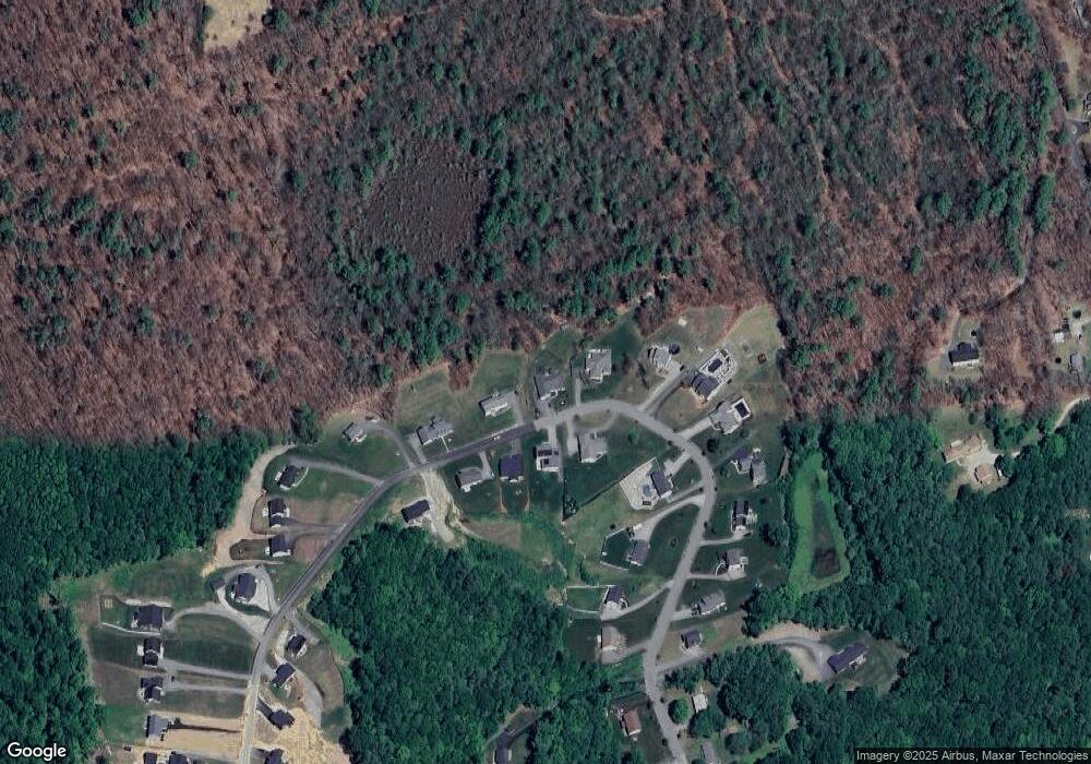
Map
Nearby Homes
- 49 Jennings Rd
- 45 Jennings Rd
- 204 Brookfield Rd
- 216 Brookfield Rd
- Lot 3 0 N Sullivan Rd
- Lot 6 0 N Sullivan Rd
- Lot 5 0 N Sullivan Rd
- Lot 4 0 N Sullivan Rd
- Lot 0 N Sturbridge Rd
- 38 N Sullivan Rd
- 3 Cranberry Meadow Shore Rd
- 208 Sunset Dr
- 86 Jolicoeur Ave
- 38 Stevens Park Rd
- 29, 31, 33 Ladd Rd
- 6 S Sullivan Rd
- 68 - 74 Sturbridge Rd
- 0 Worcester Rd
- 199 Center Depot Rd
- 28 Southbridge Rd Unit 402
- 44 Jennings Rd
- 43 Jennings Rd
- 42 Jennings Rd
- 52 Jennings Dr
- 47 Jennings Rd
- 65 Jennings Rd
- 83 Jennings Rd
- 37 Jennings Rd Unit lot 35
- 40 Jennings Rd
- 38 Jennings Rd
- 35 Jennings Rd Unit Lot 34
- 35 Jennings Rd
- 35 Jennings Rd Unit lot 35
- 35 Jennings Rd
- LOT ABC Jennings Dr
- 66 Jennings Rd
- 64 Jennings Rd
- 56 Jennings Rd
- 36 Jennings Rd
- 31 Jennings Rd