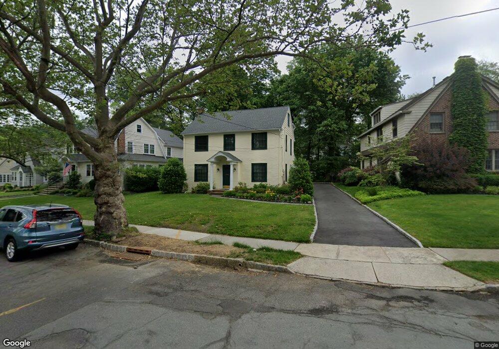
46 Laurel Ave Summit, NJ 07901
Estimated Value: $1,488,895 - $1,827,000
Studio
--
Bath
2,515
Sq Ft
$668/Sq Ft
Est. Value
About This Home
This home is located at 46 Laurel Ave, Summit, NJ 07901 and is currently estimated at $1,679,974, approximately $667 per square foot. 46 Laurel Ave is a home located in Union County with nearby schools including L C Johnson Summit Middle School, Summit Sr High School, and Oak Knoll School of the Holy Child.
Ownership History
Date
Name
Owned For
Owner Type
Purchase Details
Closed on
Aug 6, 2008
Sold by
Solberg Erik R and Claman Constance
Bought by
Solberg Erik R
Current Estimated Value
Create a Home Valuation Report for This Property
The Home Valuation Report is an in-depth analysis detailing your home's value as well as a comparison with similar homes in the area
Home Values in the Area
Average Home Value in this Area
Purchase History
| Date | Buyer | Sale Price | Title Company |
|---|---|---|---|
| Solberg Erik R | -- | None Available |
Source: Public Records
Tax History
| Year | Tax Paid | Tax Assessment Tax Assessment Total Assessment is a certain percentage of the fair market value that is determined by local assessors to be the total taxable value of land and additions on the property. | Land | Improvement |
|---|---|---|---|---|
| 2025 | $17,232 | $395,600 | $201,600 | $194,000 |
| 2024 | $17,118 | $395,600 | $201,600 | $194,000 |
| 2023 | $17,118 | $395,600 | $201,600 | $194,000 |
| 2022 | $16,944 | $395,600 | $201,600 | $194,000 |
| 2021 | $17,078 | $395,600 | $201,600 | $194,000 |
| 2020 | $17,248 | $395,600 | $201,600 | $194,000 |
| 2019 | $17,268 | $395,600 | $201,600 | $194,000 |
| 2018 | $17,157 | $395,600 | $201,600 | $194,000 |
| 2017 | $17,268 | $395,600 | $201,600 | $194,000 |
| 2016 | $17,015 | $395,600 | $201,600 | $194,000 |
| 2015 | $16,682 | $395,600 | $201,600 | $194,000 |
| 2014 | $16,251 | $395,600 | $201,600 | $194,000 |
Source: Public Records
Map
Nearby Homes
- 105 Larned Rd
- 4 Parkview Terrace
- 67 Tulip St
- 64 Tulip St
- 61 Tulip St
- 80 Glenside Ave
- 69 Elm St
- 40 Prospect St
- 226 Mountain Ave
- 1 Baltusrol Place
- 28 Glenside Ave
- 4 Denman Place
- 133 Morris Ave
- 14 Skylark Rd
- 1 Irving Place
- 24 Franklin Place
- 709 Springfield Ave Unit One
- 709 Springfield Ave Unit 4
- 709 Springfield Ave Unit 2
- 709 Springfield Ave Unit 3
Your Personal Tour Guide
Ask me questions while you tour the home.