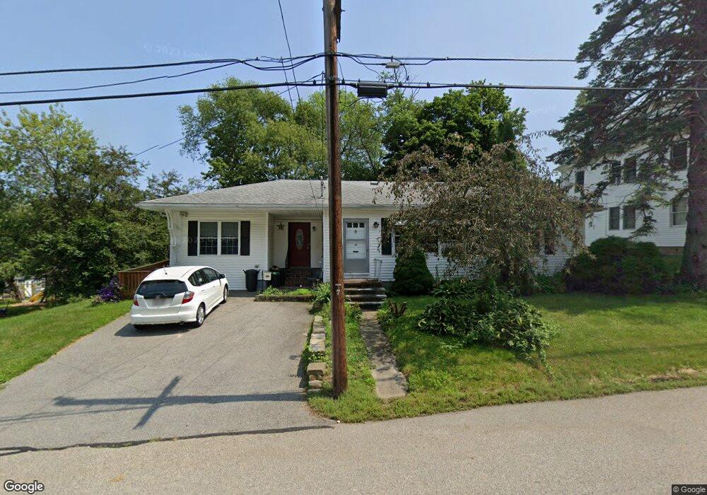
46 Leonard Ave Haverhill, MA 01835
Central Bradford NeighborhoodEstimated Value: $598,000 - $661,000
3
Beds
2
Baths
2,212
Sq Ft
$286/Sq Ft
Est. Value
About This Home
This home is located at 46 Leonard Ave, Haverhill, MA 01835 and is currently estimated at $632,196, approximately $285 per square foot. 46 Leonard Ave is a home located in Essex County with nearby schools including Bradford Elementary School and Haverhill High School.
Ownership History
Date
Name
Owned For
Owner Type
Purchase Details
Closed on
Sep 6, 2016
Sold by
Muyrphy Denyse R and Murphy Margaret M
Bought by
Murphy Denyse R
Current Estimated Value
Home Financials for this Owner
Home Financials are based on the most recent Mortgage that was taken out on this home.
Original Mortgage
$231,000
Interest Rate
3.45%
Mortgage Type
New Conventional
Purchase Details
Closed on
May 24, 2010
Sold by
Kidder Madelyn and Mcgravey Madelyn
Bought by
Murphy Denyse R and Murphy Margaret M
Home Financials for this Owner
Home Financials are based on the most recent Mortgage that was taken out on this home.
Original Mortgage
$250,381
Interest Rate
5.23%
Mortgage Type
Purchase Money Mortgage
Purchase Details
Closed on
Jul 31, 2003
Sold by
Carter Ann M and Carter Richard M
Bought by
Mcgravey Madelyn
Purchase Details
Closed on
Nov 3, 2000
Sold by
Mellon Vincent Jr Est
Bought by
Carter Richard M and Carter Ann M
Create a Home Valuation Report for This Property
The Home Valuation Report is an in-depth analysis detailing your home's value as well as a comparison with similar homes in the area
Home Values in the Area
Average Home Value in this Area
Purchase History
| Date | Buyer | Sale Price | Title Company |
|---|---|---|---|
| Murphy Denyse R | -- | -- | |
| Murphy Denyse R | $255,000 | -- | |
| Mcgravey Madelyn | $255,000 | -- | |
| Carter Richard M | $170,000 | -- |
Source: Public Records
Mortgage History
| Date | Status | Borrower | Loan Amount |
|---|---|---|---|
| Open | Murphy Denyse R | $237,000 | |
| Closed | Murphy Denyse R | $231,000 | |
| Previous Owner | Carter Richard M | $251,611 | |
| Previous Owner | Carter Richard M | $250,381 | |
| Previous Owner | Carter Richard M | $35,100 |
Source: Public Records
Tax History Compared to Growth
Tax History
| Year | Tax Paid | Tax Assessment Tax Assessment Total Assessment is a certain percentage of the fair market value that is determined by local assessors to be the total taxable value of land and additions on the property. | Land | Improvement |
|---|---|---|---|---|
| 2025 | $5,777 | $539,400 | $192,000 | $347,400 |
| 2024 | $5,550 | $521,600 | $192,000 | $329,600 |
| 2023 | $5,264 | $472,100 | $180,800 | $291,300 |
| 2022 | $5,036 | $395,900 | $172,800 | $223,100 |
| 2021 | $4,871 | $362,400 | $158,400 | $204,000 |
| 2020 | $4,733 | $348,000 | $153,600 | $194,400 |
| 2019 | $4,855 | $348,000 | $153,600 | $194,400 |
| 2018 | $4,652 | $326,200 | $147,200 | $179,000 |
| 2017 | $4,545 | $303,200 | $128,000 | $175,200 |
| 2016 | $4,471 | $291,100 | $121,600 | $169,500 |
| 2015 | $4,272 | $278,300 | $108,800 | $169,500 |
Source: Public Records
Map
Nearby Homes
- 32 Harding Ave
- 65 Stetson St
- 54 S Williams St
- 30 Colby St
- 37 Byron St
- 27 Byron St
- 17 Hamel Way Unit 17
- 12 Greystone Ave Unit 12
- 12 Salem St Unit 2
- 15 Hyatt Ave
- 78 Lamoille Ave
- 332 Salem St Unit 1
- 15 Fermanagh St
- 151 Hyatt Ave
- 45 Lincolnshire Dr
- 15 Blossom St
- 1 New Hampshire Ave
- 15 Overlook Cir
- 23 Lincolnshire Dr
- 2 S Summer St
- 50 Leonard Ave
- 40 Leonard Ave
- 45 Leonard Ave
- 55 Muriel Terrace
- 49 Leonard Ave
- 59 Muriel Terrace
- 49 Muriel Terrace
- 58 Leonard Ave
- 53 Leonard Ave
- 38 Leonard Ave
- 65 Muriel Terrace
- 43 Muriel Terrace
- 39 Leonard Ave
- 57 Leonard Ave
- 64 Leonard Ave
- 29 Leonard Ave
- 76 Stetson St
- 71 Muriel Terrace
- 39 Muriel Terrace
- 48 Muriel Terrace