46 Library Ln Simsbury, CT 06070
Estimated Value: $235,000 - $295,000
2
Beds
2
Baths
1,422
Sq Ft
$186/Sq Ft
Est. Value
About This Home
This home is located at 46 Library Ln, Simsbury, CT 06070 and is currently estimated at $264,605, approximately $186 per square foot. 46 Library Ln is a home located in Hartford County with nearby schools including Central School, Henry James Memorial School, and Simsbury High School.
Ownership History
Date
Name
Owned For
Owner Type
Purchase Details
Closed on
Feb 16, 2023
Sold by
Bensics Sara V
Bought by
Bensics Frank
Current Estimated Value
Purchase Details
Closed on
Nov 4, 2002
Sold by
Dimesky David A and Dimesky Annette R
Bought by
Stpierre Joan R
Purchase Details
Closed on
Sep 7, 1994
Sold by
Simesky Rhuben
Bought by
Dimesky Annette and Dimesky David
Create a Home Valuation Report for This Property
The Home Valuation Report is an in-depth analysis detailing your home's value as well as a comparison with similar homes in the area
Home Values in the Area
Average Home Value in this Area
Purchase History
| Date | Buyer | Sale Price | Title Company |
|---|---|---|---|
| Bensics Frank | $190,000 | None Available | |
| Stpierre Joan R | $142,000 | -- | |
| Stpierre Joan R | $142,000 | -- | |
| Dimesky Annette | $125,000 | -- | |
| Dimesky Annette | $125,000 | -- |
Source: Public Records
Mortgage History
| Date | Status | Borrower | Loan Amount |
|---|---|---|---|
| Previous Owner | Dimesky Annette | $80,000 | |
| Previous Owner | Dimesky Annette | $90,000 |
Source: Public Records
Tax History Compared to Growth
Tax History
| Year | Tax Paid | Tax Assessment Tax Assessment Total Assessment is a certain percentage of the fair market value that is determined by local assessors to be the total taxable value of land and additions on the property. | Land | Improvement |
|---|---|---|---|---|
| 2025 | $4,101 | $120,050 | $0 | $120,050 |
| 2024 | $3,999 | $120,050 | $0 | $120,050 |
| 2023 | $3,847 | $120,890 | $0 | $120,890 |
| 2022 | $3,293 | $85,240 | $0 | $85,240 |
| 2021 | $3,293 | $85,240 | $0 | $85,240 |
| 2020 | $3,162 | $85,240 | $0 | $85,240 |
| 2019 | $3,181 | $85,240 | $0 | $85,240 |
| 2018 | $3,204 | $85,240 | $0 | $85,240 |
| 2017 | $3,803 | $98,110 | $0 | $98,110 |
| 2016 | $3,642 | $98,110 | $0 | $98,110 |
| 2015 | $3,642 | $98,110 | $0 | $98,110 |
| 2014 | $3,644 | $98,110 | $0 | $98,110 |
Source: Public Records
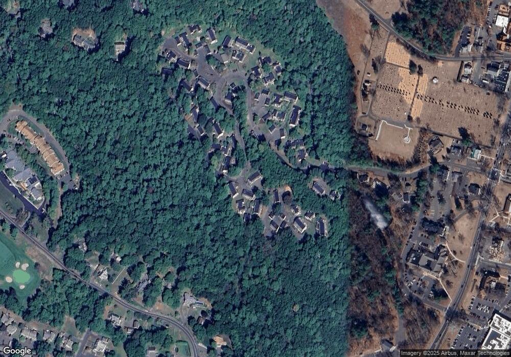
Map
Nearby Homes
- 48 Library Ln Unit 48
- 1 West St Unit 206
- 40 Firetown Rd Unit 39
- 4 Stebbins Brook Ln
- 3 Stebbins Brook Ln
- 25 Barry Ln
- 15 Pinnacle Mountain Rd
- 16 Stratton Forest Way
- 26 Winterset Ln
- 24 Hunting Ridge Dr
- 9 Gretel Ln
- 45 Hoskins Rd
- 15 Sand Hill Rd
- 19 Simsbury Landing
- 308 Hopmeadow St
- 324 Firetown Rd
- 87 Cambridge Ct
- 2 North Dr
- 18 Meadowlark Rd
- 3 Cobtail Way
- 46 Library Ln Unit 46
- 48 Library Ln
- 44 Library Ln
- 44 Library Ln Unit 16D
- 44 Library Ln Unit 44
- 42 Library Ln
- 42 Library Ln Unit 42
- 50 Library Ln
- 50 Library Ln Unit 50
- 40 Library Ln
- 40 Library Ln Unit 40
- 38 Library Ln
- 37 Library Ln
- 37 Library Ln Unit 37
- 36 Forest Hill Dr
- 38 Forest Hill Dr
- 38 Forest Hill Dr
- 38 Forest Hill Dr Unit 38
- 36 Forest Hill Dr Unit 36
- 123 Library Ln