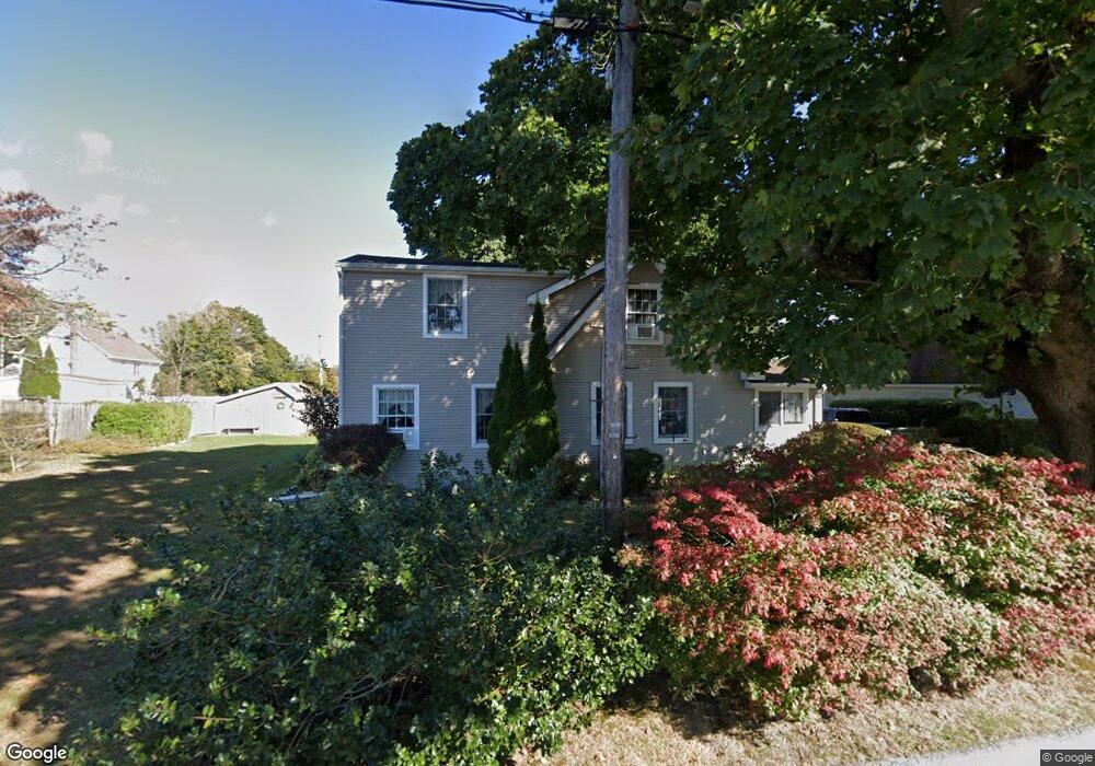
46 Louise St Waterford, CT 06385
Estimated Value: $368,122 - $430,000
3
Beds
2
Baths
1,974
Sq Ft
$198/Sq Ft
Est. Value
About This Home
This home is located at 46 Louise St, Waterford, CT 06385 and is currently estimated at $390,531, approximately $197 per square foot. 46 Louise St is a home located in New London County with nearby schools including Clark Lane Middle School, Waterford High School, and New London High School Multi-Magnet Campus.
Ownership History
Date
Name
Owned For
Owner Type
Purchase Details
Closed on
Sep 1, 1995
Sold by
Edwards William J and Edwards Robbin L
Bought by
Carter Delmar A and Carter Tracy L
Current Estimated Value
Create a Home Valuation Report for This Property
The Home Valuation Report is an in-depth analysis detailing your home's value as well as a comparison with similar homes in the area
Home Values in the Area
Average Home Value in this Area
Purchase History
| Date | Buyer | Sale Price | Title Company |
|---|---|---|---|
| Carter Delmar A | $110,000 | -- |
Source: Public Records
Mortgage History
| Date | Status | Borrower | Loan Amount |
|---|---|---|---|
| Open | Carter Delmar A | $31,000 | |
| Open | Carter Delmar A | $236,231 | |
| Closed | Carter Delmar A | $16,800 |
Source: Public Records
Tax History Compared to Growth
Tax History
| Year | Tax Paid | Tax Assessment Tax Assessment Total Assessment is a certain percentage of the fair market value that is determined by local assessors to be the total taxable value of land and additions on the property. | Land | Improvement |
|---|---|---|---|---|
| 2025 | $3,986 | $170,650 | $60,380 | $110,270 |
| 2024 | $3,805 | $170,650 | $60,380 | $110,270 |
| 2023 | $3,618 | $170,650 | $60,380 | $110,270 |
| 2022 | $3,869 | $140,390 | $44,630 | $95,760 |
| 2021 | $3,880 | $140,390 | $44,630 | $95,760 |
| 2020 | $3,913 | $140,390 | $44,630 | $95,760 |
| 2019 | $3,928 | $140,390 | $44,630 | $95,760 |
| 2018 | $3,849 | $140,390 | $44,630 | $95,760 |
| 2017 | $3,866 | $143,010 | $47,250 | $95,760 |
| 2016 | $3,830 | $143,010 | $47,250 | $95,760 |
| 2015 | $3,694 | $143,010 | $47,250 | $95,760 |
| 2014 | $3,547 | $143,010 | $47,250 | $95,760 |
Source: Public Records
Map
Nearby Homes
- 68 Clark Ln
- 213 Boston Post Rd
- 24 Pine St
- 35 Pine St
- 12 Pine St
- 54 Rope Ferry Rd Unit C55
- 54 Rope Ferry Rd Unit D72
- 54 Rope Ferry Rd Unit C45
- 2 Faye St
- 5 Windy Ridge Place Unit 5
- 34 Ivy Hill Rd
- 7 Ivy Hill Rd
- 77 Colman St
- 18 W Pleasant St
- 270 Boston Post Rd Unit 22
- 270 Boston Post Rd Unit TRLR 6
- 26 Ivy Hill Rd
- 152 Blydenburg Ave
- 835 Bank St
- 26 Jefferson Ave