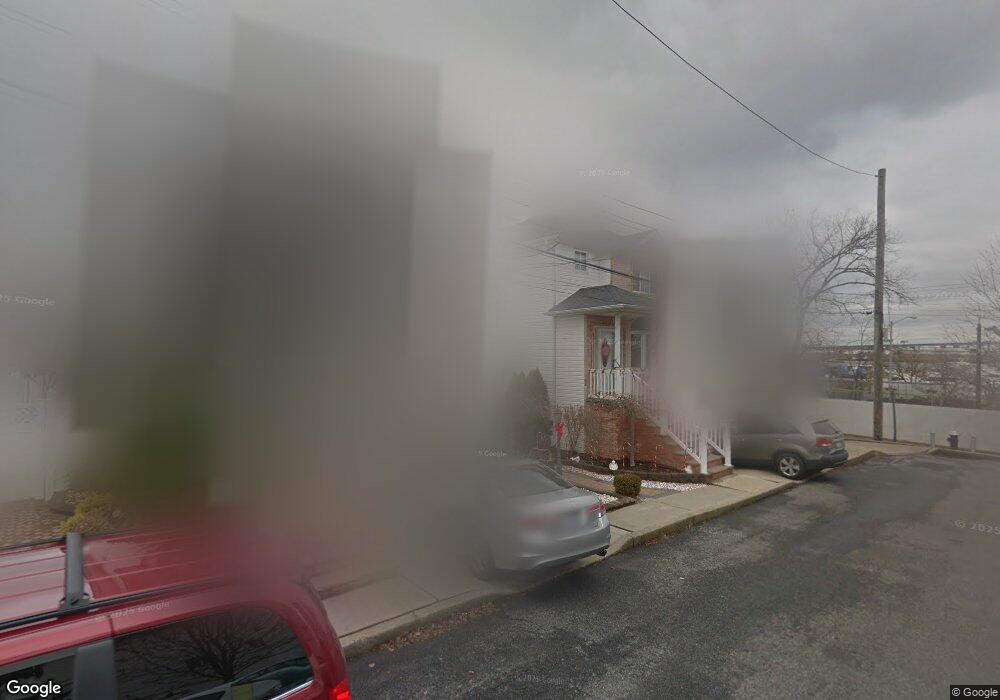
46 Meagan Loop Staten Island, NY 10307
Tottenville NeighborhoodEstimated Value: $765,944 - $989,000
--
Bed
--
Bath
2,000
Sq Ft
$452/Sq Ft
Est. Value
About This Home
This home is located at 46 Meagan Loop, Staten Island, NY 10307 and is currently estimated at $903,236, approximately $451 per square foot. 46 Meagan Loop is a home located in Richmond County with nearby schools including P.S. 1 Tottenville, Is 34 Tottenville, and Tottenville High School.
Ownership History
Date
Name
Owned For
Owner Type
Purchase Details
Closed on
Jul 3, 2001
Sold by
Harbor Park Estates Ltd
Bought by
Canova Joseph T and Canova Debra E
Current Estimated Value
Home Financials for this Owner
Home Financials are based on the most recent Mortgage that was taken out on this home.
Original Mortgage
$251,000
Outstanding Balance
$96,869
Interest Rate
7.16%
Estimated Equity
$806,367
Create a Home Valuation Report for This Property
The Home Valuation Report is an in-depth analysis detailing your home's value as well as a comparison with similar homes in the area
Home Values in the Area
Average Home Value in this Area
Purchase History
| Date | Buyer | Sale Price | Title Company |
|---|---|---|---|
| Canova Joseph T | $340,000 | -- |
Source: Public Records
Mortgage History
| Date | Status | Borrower | Loan Amount |
|---|---|---|---|
| Open | Canova Joseph T | $251,000 |
Source: Public Records
Tax History Compared to Growth
Tax History
| Year | Tax Paid | Tax Assessment Tax Assessment Total Assessment is a certain percentage of the fair market value that is determined by local assessors to be the total taxable value of land and additions on the property. | Land | Improvement |
|---|---|---|---|---|
| 2025 | $8,274 | $51,480 | $7,794 | $43,686 |
| 2024 | $8,286 | $54,360 | $7,381 | $46,979 |
| 2023 | $8,241 | $41,976 | $7,026 | $34,950 |
| 2022 | $7,618 | $48,060 | $9,420 | $38,640 |
| 2021 | $7,615 | $50,100 | $9,420 | $40,680 |
| 2020 | $7,217 | $43,920 | $9,420 | $34,500 |
| 2019 | $7,133 | $41,340 | $9,420 | $31,920 |
| 2018 | $6,833 | $34,980 | $8,359 | $26,621 |
| 2017 | $6,427 | $33,000 | $9,420 | $23,580 |
| 2016 | $5,958 | $31,354 | $8,697 | $22,657 |
| 2015 | $5,372 | $29,580 | $7,860 | $21,720 |
| 2014 | $5,372 | $29,580 | $7,860 | $21,720 |
Source: Public Records
Map
Nearby Homes
- 110 Yetman Ave
- 5300 Arthur Kill Rd
- 397 Ellis St
- 5396 Arthur Kill Rd
- 112 Johnson Ave
- 5265 Arthur Kill Rd
- 132 Fisher Ave
- 5463 Arthur Kill Rd Unit 5465
- 5463-5465 Arthur Kill Rd
- 5475 Arthur Kill Rd Unit C
- 197 Craig Ave
- 236 Lee Ave
- 237 Lee Ave
- 200 Barnard Ave
- 217-219 Fisher Ave
- 140 Craig Ave
- 233 Fisher Ave
- 69 Nashville St
- 7587 Amboy Rd
- 146 Bentley St