46 Ocean Meadows N Unit 39 Ogunquit, ME 03907
Ogunquit NeighborhoodEstimated Value: $820,000 - $1,852,000
4
Beds
3
Baths
2,196
Sq Ft
$502/Sq Ft
Est. Value
About This Home
This home is located at 46 Ocean Meadows N Unit 39, Ogunquit, ME 03907 and is currently estimated at $1,101,360, approximately $501 per square foot. 46 Ocean Meadows N Unit 39 is a home located in York County with nearby schools including Wells Junior High School, Wells Elementary School, and Wells High School.
Ownership History
Date
Name
Owned For
Owner Type
Purchase Details
Closed on
Jun 2, 2016
Sold by
Bedard Ronald H and Coughlin William J
Bought by
Silverman Barbara J and Shind Robert H
Current Estimated Value
Purchase Details
Closed on
Sep 5, 2008
Sold by
Wells Fargo Bank Na Tr
Bought by
Bedard Ronald H and Coughlin William J
Home Financials for this Owner
Home Financials are based on the most recent Mortgage that was taken out on this home.
Original Mortgage
$63,900
Interest Rate
6.57%
Mortgage Type
Unknown
Create a Home Valuation Report for This Property
The Home Valuation Report is an in-depth analysis detailing your home's value as well as a comparison with similar homes in the area
Home Values in the Area
Average Home Value in this Area
Purchase History
| Date | Buyer | Sale Price | Title Company |
|---|---|---|---|
| Silverman Barbara J | -- | -- | |
| Bedard Ronald H | -- | -- |
Source: Public Records
Mortgage History
| Date | Status | Borrower | Loan Amount |
|---|---|---|---|
| Previous Owner | Bedard Ronald H | $331,000 | |
| Previous Owner | Bedard Ronald H | $63,900 | |
| Previous Owner | Bedard Ronald H | $273,600 |
Source: Public Records
Tax History
| Year | Tax Paid | Tax Assessment Tax Assessment Total Assessment is a certain percentage of the fair market value that is determined by local assessors to be the total taxable value of land and additions on the property. | Land | Improvement |
|---|---|---|---|---|
| 2024 | $3,928 | $608,100 | $131,300 | $476,800 |
| 2023 | $3,928 | $608,100 | $131,300 | $476,800 |
| 2022 | $3,843 | $608,100 | $131,300 | $476,800 |
| 2021 | $2,973 | $365,200 | $17,900 | $347,300 |
| 2020 | $2,922 | $365,200 | $17,900 | $347,300 |
| 2019 | $2,922 | $365,200 | $17,900 | $347,300 |
| 2018 | $2,889 | $365,200 | $17,900 | $347,300 |
| 2017 | $2,768 | $365,200 | $17,900 | $347,300 |
| 2016 | $4,404 | $544,400 | $4,400 | $540,000 |
| 2015 | $4,393 | $544,400 | $4,400 | $540,000 |
| 2014 | $4,225 | $544,400 | $4,400 | $540,000 |
Source: Public Records
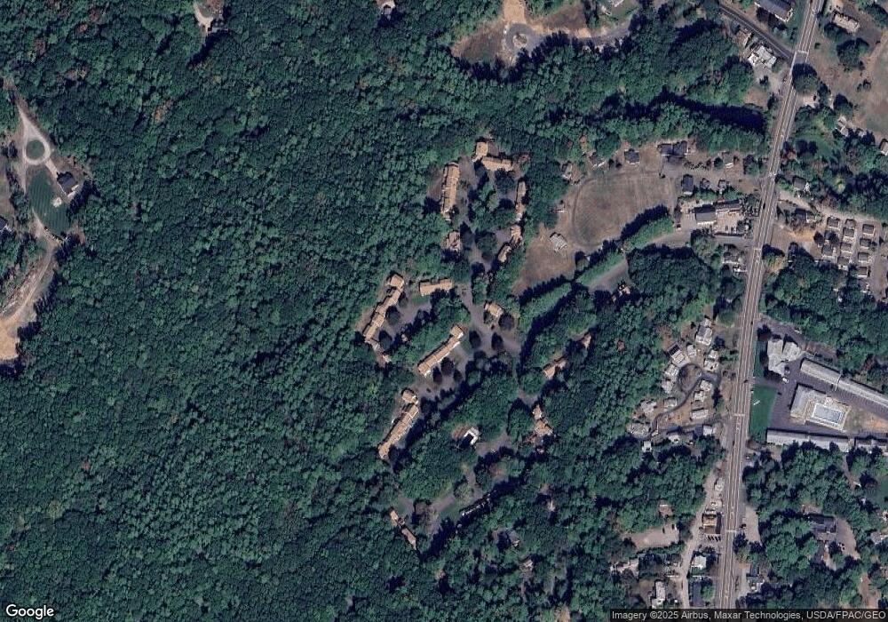
Map
Nearby Homes
- 488 Main St Unit 7
- 31 Rebecca Rd
- 22 Adams Ln
- 76 Post Rd Unit 21M
- 9 Bourne Ave Unit B6
- 191 Tatnic Rd Unit 73
- 168 Ocean Ave
- 14 Valleybrook Rd Unit 14
- 1 Old County Rd Unit 165
- 1 Old County Rd Unit 155
- 25 Shore Rd Unit A
- 20 Shore Rd Unit 2A,B,C,D
- 69 Cottage St
- 47 Village Green Dr
- 412 Post Rd Unit 304
- 412 Post Rd Unit 145
- 430 Post Rd Unit 320
- 430 Post Rd Unit 181
- 430 Post Rd Unit 256
- 430 Post Rd Unit 177
- 10 Ocean St Unit 47
- 10 Ocean St Unit 46
- 46 Ocean Meadows N Unit 38
- 46 Ocean Meadows N Unit 37
- 8 Ocean St Unit 30
- 110 Ocean St Unit 25
- 110 Ocean St Unit 24
- 110 Ocean St Unit 23
- 110 Ocean St Unit 22
- 110 Ocean St Unit 21
- 134 Ocean St Unit 20
- 134 Ocean St Unit 19
- 134 Ocean St Unit 18
- 134 Ocean St Unit 17
- 138 Ocean St Unit 16
- 138 Ocean St Unit 15
- 10 Ocean St Unit 10
- 3 Ocean St
- 17 Ocean St Unit 56
- 17 Ocean St Unit 55
Your Personal Tour Guide
Ask me questions while you tour the home.