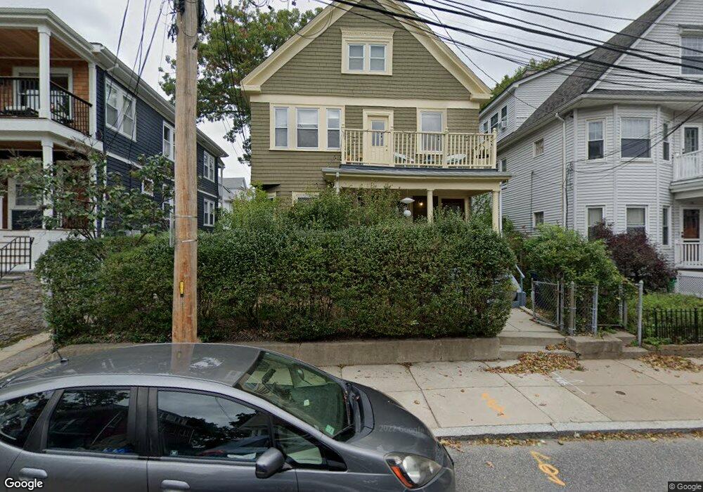
46 Patten St Unit 2 Jamaica Plain, MA 02130
Jamaica Plain NeighborhoodEstimated Value: $918,000 - $1,005,000
3
Beds
1
Bath
1,500
Sq Ft
$651/Sq Ft
Est. Value
About This Home
This home is located at 46 Patten St Unit 2, Jamaica Plain, MA 02130 and is currently estimated at $975,975, approximately $650 per square foot. 46 Patten St Unit 2 is a home located in Suffolk County with nearby schools including The Croft School - Jamaica Plain.
Ownership History
Date
Name
Owned For
Owner Type
Purchase Details
Closed on
Jan 14, 2021
Sold by
Simon Larry D and Gulla Katherine E
Bought by
Oneil-Greenberg Forest
Current Estimated Value
Home Financials for this Owner
Home Financials are based on the most recent Mortgage that was taken out on this home.
Original Mortgage
$540,000
Outstanding Balance
$481,952
Interest Rate
2.71%
Mortgage Type
Purchase Money Mortgage
Estimated Equity
$494,023
Create a Home Valuation Report for This Property
The Home Valuation Report is an in-depth analysis detailing your home's value as well as a comparison with similar homes in the area
Home Values in the Area
Average Home Value in this Area
Purchase History
| Date | Buyer | Sale Price | Title Company |
|---|---|---|---|
| Oneil-Greenberg Forest | $890,000 | None Available |
Source: Public Records
Mortgage History
| Date | Status | Borrower | Loan Amount |
|---|---|---|---|
| Open | Oneil-Greenberg Forest | $540,000 |
Source: Public Records
Tax History
| Year | Tax Paid | Tax Assessment Tax Assessment Total Assessment is a certain percentage of the fair market value that is determined by local assessors to be the total taxable value of land and additions on the property. | Land | Improvement |
|---|---|---|---|---|
| 2025 | $9,492 | $819,700 | $312,800 | $506,900 |
| 2024 | $8,809 | $808,200 | $259,700 | $548,500 |
| 2023 | $8,267 | $769,700 | $247,300 | $522,400 |
| 2022 | $7,973 | $732,800 | $235,500 | $497,300 |
| 2021 | $7,592 | $711,500 | $228,600 | $482,900 |
| 2020 | $6,403 | $606,300 | $228,800 | $377,500 |
| 2019 | $6,084 | $577,200 | $173,300 | $403,900 |
| 2018 | $5,548 | $529,400 | $173,300 | $356,100 |
| 2017 | $5,495 | $518,900 | $173,300 | $345,600 |
| 2016 | $5,051 | $459,200 | $173,300 | $285,900 |
| 2015 | $4,766 | $393,600 | $148,500 | $245,100 |
| 2014 | $4,252 | $338,000 | $148,500 | $189,500 |
Source: Public Records
Map
Nearby Homes
- 23 Wenham St Unit 2
- 163 Hyde Park Ave Unit 163B
- 57 Weld Hill St Unit 3
- 57 Weld Hill St Unit 2
- 64 Hyde Park Ave Unit 3
- 90 Florian St
- 6 Dellmore Rd Unit 3
- 6 Dellmore Rd Unit 2
- 6 Meyer St Unit 1
- 40 Catherine St Unit B
- 40 Catherine St Unit 2
- 17 Tower St Unit 3
- 26 Tower St
- 167 Bourne St
- 71 Wyvern St
- 27 Harrison St Unit C
- 602 Canterbury St Unit 6
- 602 Canterbury St Unit 10
- 602 Canterbury St Unit 9
- 16 Yale Terrace Unit 2
- 46 Patten St
- 48 Patten St Unit 50
- 42 Patten St Unit 1
- 42 Patten St
- 00 Patten St
- 52 Patten St Unit 2
- 52 Patten St Unit 1
- 52 Patten St Unit 1,52
- 52 Patten St Unit 2, 52
- 49 Walk Hill St
- 49 Walk Hill St Unit 3
- 49 Walk Hill St Unit A
- 49 Walk Hill St Unit 1
- 49 Walk Hill St Unit 2
- 49a Walk Hill St Unit 3
- 47 Walk Hill St
- 51 Walk Hill St Unit 53
- 51 Walk Hill St Unit 1
- 51 Walk Hill St Unit A1
- 51 Walk Hill St Unit C
Your Personal Tour Guide
Ask me questions while you tour the home.