46 Ponderosa Rd Newfoundland, PA 18445
Estimated Value: $178,000 - $229,000
3
Beds
2
Baths
892
Sq Ft
$227/Sq Ft
Est. Value
About This Home
This home is located at 46 Ponderosa Rd, Newfoundland, PA 18445 and is currently estimated at $202,185, approximately $226 per square foot. 46 Ponderosa Rd is a home located in Wayne County with nearby schools including Western Wayne High School.
Ownership History
Date
Name
Owned For
Owner Type
Purchase Details
Closed on
Sep 5, 2008
Sold by
Yagrich Shirley B and Estate Of Cecil F Borst
Bought by
Chinsoon Carol
Current Estimated Value
Home Financials for this Owner
Home Financials are based on the most recent Mortgage that was taken out on this home.
Original Mortgage
$81,600
Outstanding Balance
$54,431
Interest Rate
6.58%
Mortgage Type
New Conventional
Estimated Equity
$147,754
Create a Home Valuation Report for This Property
The Home Valuation Report is an in-depth analysis detailing your home's value as well as a comparison with similar homes in the area
Home Values in the Area
Average Home Value in this Area
Purchase History
| Date | Buyer | Sale Price | Title Company |
|---|---|---|---|
| Chinsoon Carol | -- | None Available |
Source: Public Records
Mortgage History
| Date | Status | Borrower | Loan Amount |
|---|---|---|---|
| Open | Chinsoon Carol | $81,600 |
Source: Public Records
Tax History Compared to Growth
Tax History
| Year | Tax Paid | Tax Assessment Tax Assessment Total Assessment is a certain percentage of the fair market value that is determined by local assessors to be the total taxable value of land and additions on the property. | Land | Improvement |
|---|---|---|---|---|
| 2025 | $2,230 | $136,500 | $28,100 | $108,400 |
| 2024 | $2,121 | $136,500 | $28,100 | $108,400 |
| 2023 | $2,995 | $136,500 | $28,100 | $108,400 |
| 2022 | $1,603 | $67,100 | $14,300 | $52,800 |
| 2021 | $1,564 | $67,100 | $14,300 | $52,800 |
| 2020 | $1,546 | $67,100 | $14,300 | $52,800 |
| 2019 | $1,462 | $67,100 | $14,300 | $52,800 |
| 2018 | $1,454 | $67,100 | $14,300 | $52,800 |
| 2017 | $314 | $67,100 | $14,300 | $52,800 |
| 2016 | $885 | $67,100 | $14,300 | $52,800 |
| 2014 | -- | $67,100 | $14,300 | $52,800 |
Source: Public Records
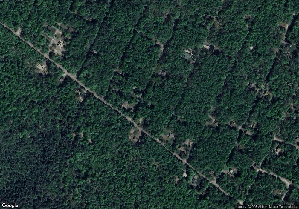
Map
Nearby Homes
- 0 Westside Dr Unit 758133
- 1080 W Side Dr
- 1073 W Side Dr
- 1 Beaver Run Rd
- Lot 42 Beaver Run Rd
- 0 Woodstock Rd Unit PWBPW250468
- 1021 Winnebago Ct
- 1003 Teakwood Dr
- 0 Middle Ridge Dr
- 0 Middle Ridge Dr Unit 748819
- 0 Middle Ridge L Dr
- 1025 Maplewood Dr
- 0 Cobblewood Rd
- 000 Cobblewood Rd
- 1334 Pocono Dr
- 39 Bear Dr
- 1008 Woodstone Rd
- 4 Basswood Dr
- 9 Basswood Dr
- Lot 4 Basswood Dr
- 50 Ponderosa Dr
- 47 Ponderosa Rd
- 45 Ponderosa Rd
- 1061 Ponderosa Rd
- 1075 Raintree Rd
- 46 Raintree Rd
- 42 Raintree Rd
- 1051 W Side Dr
- 43 Ponderosa Rd
- 1079 Beaver Run Rd
- 0 W Side Dr
- 60 W Side Dr
- Lot 4 W Side Dr
- 49 Woodstock Rd
- 1084 Woodstock Rd
- 51 Woodstock Rd
- 1052 Ponderosa Rd
- 1050 Beaver Run Rd
- 1013 Westside Dr
- 42 Woodstock Rd