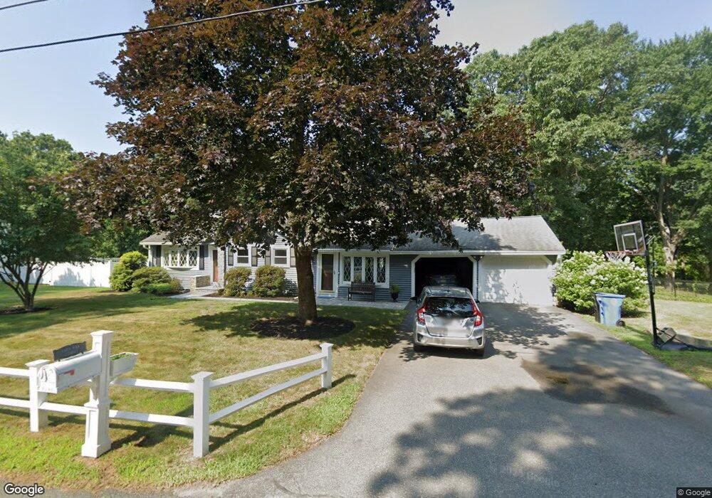
46 Porter St Whitman, MA 02382
Estimated Value: $547,495 - $652,000
3
Beds
3
Baths
1,664
Sq Ft
$353/Sq Ft
Est. Value
About This Home
This home is located at 46 Porter St, Whitman, MA 02382 and is currently estimated at $586,624, approximately $352 per square foot. 46 Porter St is a home located in Plymouth County with nearby schools including Trinity Catholic Academy, Brockton Area Seventh-Day Adventist Academy, and Cardinal Spellman High School.
Ownership History
Date
Name
Owned For
Owner Type
Purchase Details
Closed on
Jul 13, 2018
Sold by
Lotti Michael J
Bought by
Lotti Michael J and Bonn Karen I
Current Estimated Value
Purchase Details
Closed on
Apr 27, 1994
Sold by
Ireland Jame and Ireland Joan E
Bought by
Lotti Michael J
Create a Home Valuation Report for This Property
The Home Valuation Report is an in-depth analysis detailing your home's value as well as a comparison with similar homes in the area
Home Values in the Area
Average Home Value in this Area
Purchase History
| Date | Buyer | Sale Price | Title Company |
|---|---|---|---|
| Lotti Michael J | -- | -- | |
| Lotti Michael J | $140,000 | -- |
Source: Public Records
Mortgage History
| Date | Status | Borrower | Loan Amount |
|---|---|---|---|
| Previous Owner | Lotti Michael J | $160,000 | |
| Previous Owner | Lotti Michael J | $170,000 |
Source: Public Records
Tax History
| Year | Tax Paid | Tax Assessment Tax Assessment Total Assessment is a certain percentage of the fair market value that is determined by local assessors to be the total taxable value of land and additions on the property. | Land | Improvement |
|---|---|---|---|---|
| 2025 | $6,029 | $459,500 | $207,000 | $252,500 |
| 2024 | $5,468 | $429,200 | $203,000 | $226,200 |
| 2023 | $5,029 | $370,600 | $176,000 | $194,600 |
| 2022 | $4,965 | $341,000 | $160,000 | $181,000 |
| 2021 | $5,662 | $365,300 | $147,000 | $218,300 |
| 2020 | $5,679 | $358,300 | $140,000 | $218,300 |
| 2019 | $5,288 | $343,800 | $140,000 | $203,800 |
| 2018 | $5,026 | $313,900 | $132,000 | $181,900 |
| 2017 | $4,734 | $313,900 | $132,000 | $181,900 |
| 2016 | $4,663 | $299,100 | $125,000 | $174,100 |
| 2015 | $4,260 | $272,900 | $110,000 | $162,900 |
Source: Public Records
Map
Nearby Homes
- F3 877 Auburnville
- F7 877 Auburnville
- E 2 Auburnville Way
- E 2 Auburnville Way Unit E2
- 49 Lombard Ave
- 56 Porter St
- 39 Porter St
- 29 Lombard Ave
- 24 Porter St
- 89 Porter St
- 35 Porter St
- 91 Porter St
- 14 Porter St
- 11 Porter St
- 60 Porter St
- 17 Lombard Ave
- 44 Old Mansion Ln
- 34 Old Mansion Ln
- 965 Temple St
- 965 Temple St
Your Personal Tour Guide
Ask me questions while you tour the home.