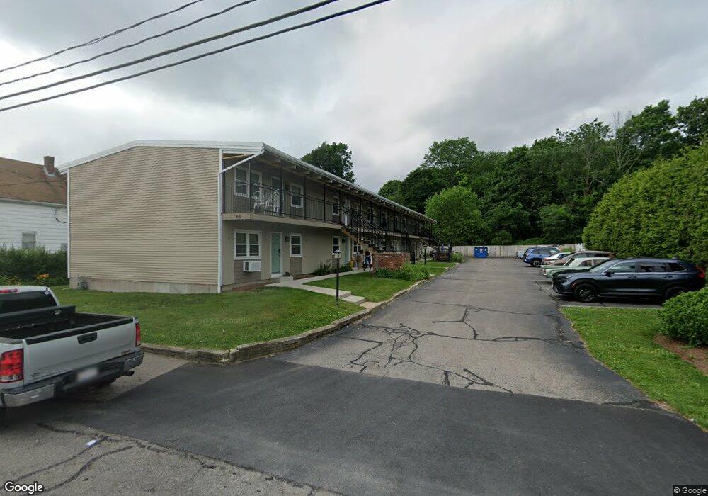
46 Pratt St Unit 7 Mansfield, MA 02048
Estimated Value: $200,000 - $336,000
2
Beds
1
Bath
782
Sq Ft
$348/Sq Ft
Est. Value
About This Home
This home is located at 46 Pratt St Unit 7, Mansfield, MA 02048 and is currently estimated at $272,525, approximately $348 per square foot. 46 Pratt St Unit 7 is a home located in Bristol County with nearby schools including Everett W. Robinson Elementary School, Jordan/Jackson Elementary School, and Harold L. Qualters Middle School.
Ownership History
Date
Name
Owned For
Owner Type
Purchase Details
Closed on
Feb 7, 2018
Sold by
Nelson Kevin R and Nelson Naomi
Bought by
Epratt Llc
Current Estimated Value
Purchase Details
Closed on
May 1, 2006
Sold by
46 Pratt Street Llc
Bought by
Nelson Kevin R and Nelson Naomi
Home Financials for this Owner
Home Financials are based on the most recent Mortgage that was taken out on this home.
Original Mortgage
$111,920
Interest Rate
6.4%
Mortgage Type
Purchase Money Mortgage
Create a Home Valuation Report for This Property
The Home Valuation Report is an in-depth analysis detailing your home's value as well as a comparison with similar homes in the area
Home Values in the Area
Average Home Value in this Area
Purchase History
| Date | Buyer | Sale Price | Title Company |
|---|---|---|---|
| Epratt Llc | -- | -- | |
| Nelson Kevin R | $139,900 | -- |
Source: Public Records
Mortgage History
| Date | Status | Borrower | Loan Amount |
|---|---|---|---|
| Previous Owner | Nelson Kevin R | $111,920 |
Source: Public Records
Tax History Compared to Growth
Tax History
| Year | Tax Paid | Tax Assessment Tax Assessment Total Assessment is a certain percentage of the fair market value that is determined by local assessors to be the total taxable value of land and additions on the property. | Land | Improvement |
|---|---|---|---|---|
| 2025 | $1,579 | $119,900 | $0 | $119,900 |
| 2024 | $1,453 | $107,600 | $0 | $107,600 |
| 2023 | $1,341 | $95,200 | $0 | $95,200 |
| 2022 | $1,338 | $88,200 | $0 | $88,200 |
| 2021 | $1,310 | $85,300 | $0 | $85,300 |
| 2020 | $1,249 | $81,300 | $0 | $81,300 |
| 2019 | $1,237 | $81,300 | $0 | $81,300 |
| 2018 | $1,935 | $124,300 | $0 | $124,300 |
| 2017 | $1,867 | $124,300 | $0 | $124,300 |
| 2016 | $1,703 | $110,500 | $0 | $110,500 |
| 2015 | $1,586 | $102,300 | $0 | $102,300 |
Source: Public Records
Map
Nearby Homes
- 22 Pleasant St Unit C
- 82 Brook St
- 28 Angell St
- 44 Angell St Unit 44
- 150 Rumford Ave Unit 110
- 619 N Main St
- 28 Court St
- 166 Chauncy St
- 277 Central St
- 356 Central St
- 12 Spring St
- 631 East St Unit E203
- 414 Branch St
- 261 East St
- 442 Ware St
- 460 Ware St
- 6 Erick Rd Unit 73
- 1 Revere Dr
- 151 Stearns Ave
- 16 Erick Rd Unit 34
- 46 Pratt St Unit 10
- 46 Pratt St Unit 9
- 46 Pratt St Unit 8
- 46 Pratt St Unit 6
- 46 Pratt St Unit 5
- 46 Pratt St Unit 4
- 46 Pratt St Unit 3
- 46 Pratt St Unit 2
- 46 Pratt St Unit 1
- 40 Pratt St
- 40 Pratt St Unit 2
- 54 Pratt St
- 54 Pratt St Unit 3
- 17 Thompson St
- 36 Pratt St
- 1 Chauncy St
- 62 Pratt St
- 62 Pratt St Unit 1
- 30 Pratt St Unit 1
- 30 Pratt St