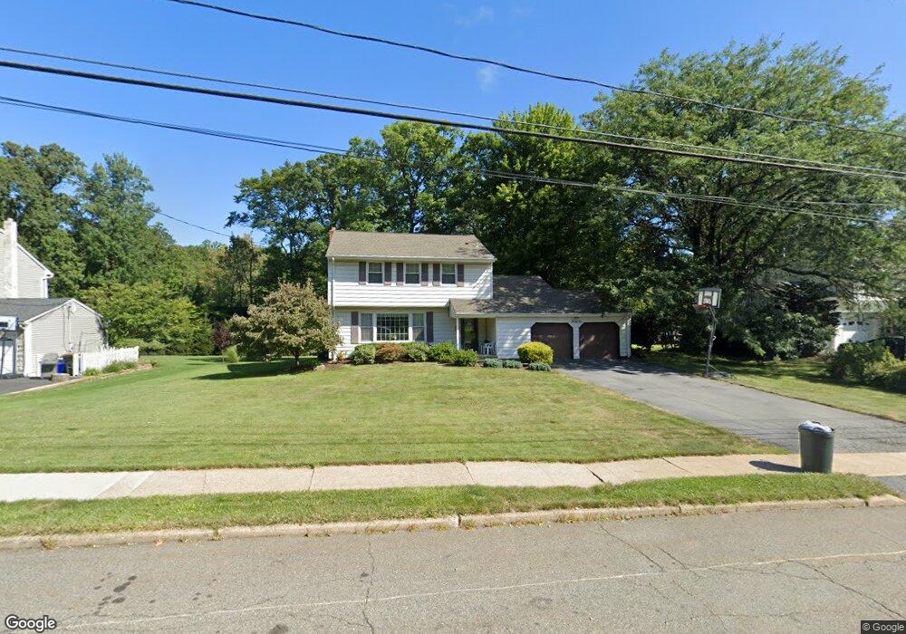
46 Queens Rd Rockaway, NJ 07866
Estimated Value: $588,383 - $692,000
Studio
--
Bath
1,865
Sq Ft
$341/Sq Ft
Est. Value
About This Home
This home is located at 46 Queens Rd, Rockaway, NJ 07866 and is currently estimated at $636,346, approximately $341 per square foot. 46 Queens Rd is a home located in Morris County with nearby schools including Dennis B O Brien School, Copeland Middle School, and Divine Mercy Academy.
Ownership History
Date
Name
Owned For
Owner Type
Purchase Details
Closed on
Jun 21, 2022
Sold by
Elba Soto
Bought by
Huang Theodore J and Cheung Man Ting
Current Estimated Value
Home Financials for this Owner
Home Financials are based on the most recent Mortgage that was taken out on this home.
Original Mortgage
$420,000
Outstanding Balance
$398,999
Interest Rate
5.09%
Mortgage Type
Balloon
Estimated Equity
$237,347
Purchase Details
Closed on
Dec 11, 2020
Sold by
Latorraca Frank D and Latorraca Alex M
Bought by
Soto Elba
Home Financials for this Owner
Home Financials are based on the most recent Mortgage that was taken out on this home.
Original Mortgage
$304,000
Interest Rate
2.71%
Mortgage Type
New Conventional
Purchase Details
Closed on
Jul 8, 1999
Sold by
Latorraca Daniel and Latorraca Vera
Bought by
Latorraca Frank D and Latorraca Alex M
Create a Home Valuation Report for This Property
The Home Valuation Report is an in-depth analysis detailing your home's value as well as a comparison with similar homes in the area
Home Values in the Area
Average Home Value in this Area
Purchase History
| Date | Buyer | Sale Price | Title Company |
|---|---|---|---|
| Huang Theodore J | $525,500 | Durkin Elizabeth M | |
| Soto Elba | $455,000 | Key Settlements Inc | |
| Latorraca Frank D | -- | -- |
Source: Public Records
Mortgage History
| Date | Status | Borrower | Loan Amount |
|---|---|---|---|
| Open | Huang Theodore J | $420,000 | |
| Previous Owner | Soto Elba | $304,000 |
Source: Public Records
Tax History
| Year | Tax Paid | Tax Assessment Tax Assessment Total Assessment is a certain percentage of the fair market value that is determined by local assessors to be the total taxable value of land and additions on the property. | Land | Improvement |
|---|---|---|---|---|
| 2025 | $11,689 | $500,800 | $237,600 | $263,200 |
| 2024 | $11,538 | $455,900 | $207,200 | $248,700 |
| 2023 | $11,538 | $439,700 | $204,400 | $235,300 |
| 2022 | $10,878 | $405,500 | $181,100 | $224,400 |
| 2021 | $10,878 | $383,300 | $168,600 | $214,700 |
| 2020 | $10,679 | $375,900 | $166,100 | $209,800 |
| 2019 | $10,479 | $367,300 | $161,100 | $206,200 |
| 2018 | $10,584 | $365,100 | $167,100 | $198,000 |
| 2017 | $10,999 | $352,300 | $170,100 | $182,200 |
| 2016 | $10,858 | $352,300 | $170,100 | $182,200 |
| 2015 | $10,780 | $352,300 | $170,100 | $182,200 |
| 2014 | $10,459 | $348,300 | $170,100 | $178,200 |
Source: Public Records
Map
Nearby Homes
- 302 Fischer Ct Unit 302
- 301 Fischer Ct Unit 301
- 208 Fischer Ct
- 1209 Johnson Dr
- 2311 Pierce Ln Unit 2311
- 1111 Clinton Ln Unit 111
- 1213 Hale Dr
- 2304 Clinton Ln
- 2205 Clinton Ln Unit 2205
- 29 Woodside Dr
- 92 Mount Hope Rd
- 3209 Cleveland Ln Unit 209
- 21 Reservoir Rd
- 3211 Cleveland Ln Unit 211
- 7113 Polk Dr Unit 13
- 3302 Cleveland Ln Unit 302
- 7311 Polk Dr
- 5211 Veterans Dr
- 4310 Cleveland Ln Unit 310
- 5307 Veterans Dr
Your Personal Tour Guide
Ask me questions while you tour the home.