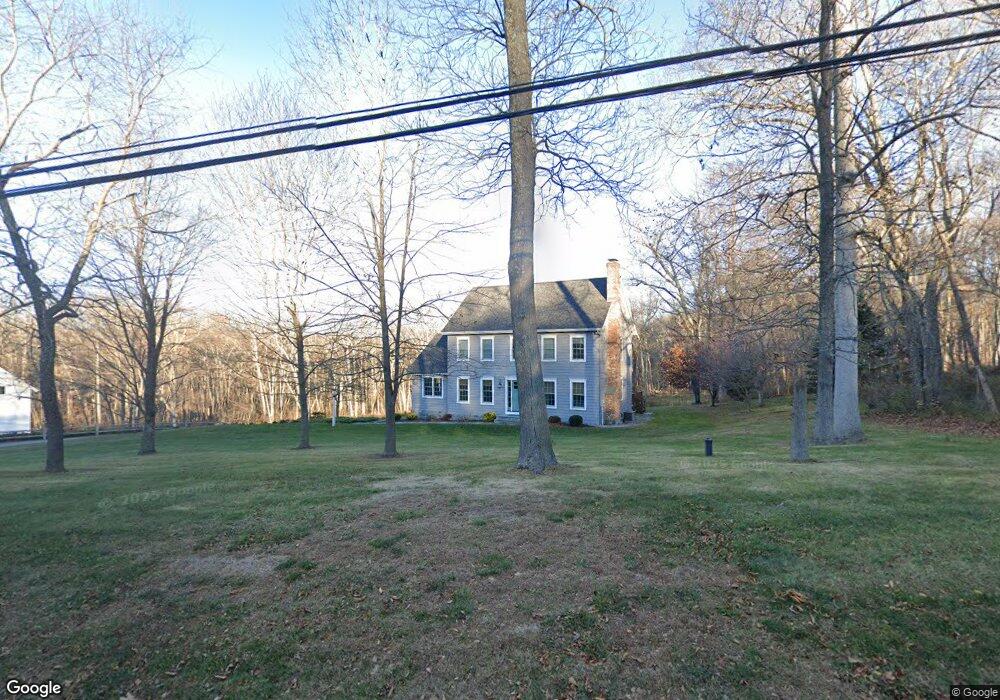
46 Scott Rd East Lyme, CT 06333
Estimated Value: $637,321 - $786,000
3
Beds
3
Baths
2,160
Sq Ft
$328/Sq Ft
Est. Value
About This Home
This home is located at 46 Scott Rd, East Lyme, CT 06333 and is currently estimated at $708,080, approximately $327 per square foot. 46 Scott Rd is a home located in New London County with nearby schools including East Lyme Middle School, East Lyme High School, and Carelot Children's Center - East Lyme.
Ownership History
Date
Name
Owned For
Owner Type
Purchase Details
Closed on
Sep 30, 2015
Sold by
Hall Lance and Palladino Debra
Bought by
Hall Lance and Palladino Debra
Current Estimated Value
Purchase Details
Closed on
Aug 25, 2015
Sold by
Palladino Debra
Bought by
Hall Lance and Palladino Debra
Purchase Details
Closed on
Nov 25, 1996
Sold by
Lagace Richard M
Bought by
Thompson Debra P
Home Financials for this Owner
Home Financials are based on the most recent Mortgage that was taken out on this home.
Original Mortgage
$131,500
Interest Rate
7.81%
Mortgage Type
Unknown
Purchase Details
Closed on
Aug 7, 1996
Sold by
Scott R Woodrow
Bought by
Lagace Richard M
Home Financials for this Owner
Home Financials are based on the most recent Mortgage that was taken out on this home.
Original Mortgage
$115,000
Interest Rate
8.24%
Create a Home Valuation Report for This Property
The Home Valuation Report is an in-depth analysis detailing your home's value as well as a comparison with similar homes in the area
Home Values in the Area
Average Home Value in this Area
Purchase History
| Date | Buyer | Sale Price | Title Company |
|---|---|---|---|
| Hall Lance | -- | -- | |
| Hall Lance | -- | -- | |
| Thompson Debra P | $164,400 | -- | |
| Lagace Richard M | $40,000 | -- |
Source: Public Records
Mortgage History
| Date | Status | Borrower | Loan Amount |
|---|---|---|---|
| Previous Owner | Lagace Richard M | $168,000 | |
| Previous Owner | Lagace Richard M | $148,000 | |
| Previous Owner | Lagace Richard M | $131,500 | |
| Previous Owner | Lagace Richard M | $115,000 |
Source: Public Records
Tax History Compared to Growth
Tax History
| Year | Tax Paid | Tax Assessment Tax Assessment Total Assessment is a certain percentage of the fair market value that is determined by local assessors to be the total taxable value of land and additions on the property. | Land | Improvement |
|---|---|---|---|---|
| 2025 | $8,713 | $311,080 | $92,400 | $218,680 |
| 2024 | $8,197 | $311,080 | $92,400 | $218,680 |
| 2023 | $7,630 | $306,670 | $92,400 | $214,270 |
| 2022 | $7,311 | $306,670 | $92,400 | $214,270 |
| 2021 | $7,039 | $246,890 | $87,010 | $159,880 |
| 2020 | $7,095 | $250,180 | $87,010 | $163,170 |
| 2019 | $7,053 | $250,180 | $87,010 | $163,170 |
| 2018 | $6,842 | $250,180 | $87,010 | $163,170 |
| 2017 | $6,545 | $250,180 | $87,010 | $163,170 |
| 2016 | $5,585 | $220,220 | $76,090 | $144,130 |
| 2015 | $5,338 | $216,020 | $71,890 | $144,130 |
| 2014 | $5,191 | $216,020 | $71,890 | $144,130 |
Source: Public Records
Map
Nearby Homes
- 14 Pumpkin Grove
- 11 Pumpkin Grove
- 5 Pumpkin Grove
- 33 Arbor Crossing
- 20 Sunrise Trail
- 420 Boston Post Rd
- 6 Marion Dr
- 1 Hathaway Rd
- 25 Marion Dr
- 270 N Bride Brook Rd
- 10 Filosi Rd
- 231 Boston Post Rd Unit 9
- 13 Willow Ln
- 32 Upper Pattagansett Rd Unit 8
- 28 Alexander Dr
- 496 Boston Post Rd
- 223 N Bride Brook Rd
- 138 Boston Post Rd Unit 10
- 138 Boston Post Rd Unit 11
- 138 Boston Post Rd Unit 16