46 Sellenriek Rd Saint Louis, MO 63131
Estimated Value: $4,759,906
3
Beds
1
Bath
1,515
Sq Ft
$3,142/Sq Ft
Est. Value
About This Home
This home is located at 46 Sellenriek Rd, Saint Louis, MO 63131 and is currently priced at $4,759,906, approximately $3,141 per square foot. 46 Sellenriek Rd is a home located in St. Louis County with nearby schools including Mason Ridge Elementary School, Parkway West Middle School, and Parkway West High School.
Ownership History
Date
Name
Owned For
Owner Type
Purchase Details
Closed on
Mar 10, 2015
Sold by
Jfm Realty Partnership #1 Lp
Bought by
Town & Country Land Company Llc
Current Estimated Value
Purchase Details
Closed on
Oct 17, 2005
Sold by
Jfm Realty Partnership #1 Lp
Bought by
Churchill Center & School For Learning D
Create a Home Valuation Report for This Property
The Home Valuation Report is an in-depth analysis detailing your home's value as well as a comparison with similar homes in the area
Home Values in the Area
Average Home Value in this Area
Purchase History
| Date | Buyer | Sale Price | Title Company |
|---|---|---|---|
| Town & Country Land Company Llc | -- | Orntic | |
| Churchill Center & School For Learning D | $2,825,000 | -- | |
| Churchill Center & School For Learning D | $2,825,000 | -- |
Source: Public Records
Tax History Compared to Growth
Tax History
| Year | Tax Paid | Tax Assessment Tax Assessment Total Assessment is a certain percentage of the fair market value that is determined by local assessors to be the total taxable value of land and additions on the property. | Land | Improvement |
|---|---|---|---|---|
| 2025 | $40,365 | $762,580 | $646,490 | $116,090 |
| 2024 | $40,365 | $693,860 | $574,670 | $119,190 |
| 2023 | $38,200 | $693,860 | $574,670 | $119,190 |
| 2022 | $47,062 | $776,810 | $646,490 | $130,320 |
| 2021 | $46,672 | $776,810 | $646,490 | $130,320 |
| 2020 | $31,914 | $507,910 | $366,020 | $141,890 |
| 2019 | $31,465 | $507,910 | $366,020 | $141,890 |
| 2018 | $22,075 | $329,410 | $325,360 | $4,050 |
| 2017 | $21,775 | $329,410 | $325,360 | $4,050 |
| 2016 | $12,240 | $176,020 | $162,700 | $13,320 |
| 2015 | $12,662 | $172,750 | $162,700 | $10,050 |
| 2014 | $16,289 | $241,410 | $227,370 | $14,040 |
Source: Public Records
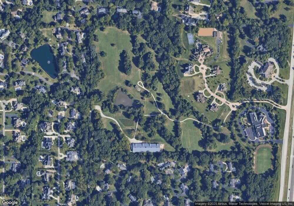
Map
Nearby Homes
- 12549 Bickford Dr
- 11 Roclare Ln
- 9 Kirken Knoll Dr
- Pearson Plan at Deer Hollow - Masterpiece Collection
- Clay Plan at Deer Hollow - Masterpiece Collection
- Rhodes Plan at Deer Hollow - Masterpiece Collection
- Huxley Plan at Deer Hollow - Masterpiece Collection
- Teagan Plan at Deer Hollow - Masterpiece Collection
- Finley Plan at Deer Hollow - Masterpiece Collection
- Margot Plan at Deer Hollow - Masterpiece Collection
- Everett Plan at Deer Hollow - Masterpiece Collection
- Mitchell Plan at Deer Hollow - Masterpiece Collection
- Grayson Plan at Deer Hollow - Masterpiece Collection
- 2409 N Ballas Rd
- 0 Unknown Unit 22071090
- 5 W Point Ln
- 29a Chapel Hill Estates Dr
- 8 Balcon Estates
- 13 Balcon Estates Ct
- 11758 Westham Dr
- 12773 Spruce Pond Dr
- 12772 Spruce Pond Dr
- 12765 Spruce Pond Dr
- 2471 Copper Beech Dr
- 2463 Copper Beech Dr
- 2536 Oak Springs Ln
- 2548 Oak Springs Ln
- 2554 Oak Springs Ln
- 12766 Spruce Pond Dr
- 12747 Spruce Pond Dr
- 2464 Copper Beech Dr
- 2520 Oak Springs Ln
- 12764 Spruce Pond Dr
- 12725 Spruce Pond Dr
- 2510 Oak Springs Ln
- 930 Delvin Dr
- 2488TBB Oak Springs Ln
- 2445 Copper Beech Dr
- 2452 Copper Beech Dr
- 2559 Oak Springs Ln