46 Shore Path Rd Dedham, ME 04429
Estimated Value: $227,870 - $283,000
2
Beds
1
Bath
860
Sq Ft
$303/Sq Ft
Est. Value
About This Home
This home is located at 46 Shore Path Rd, Dedham, ME 04429 and is currently estimated at $260,468, approximately $302 per square foot. 46 Shore Path Rd is a home located in Hancock County with nearby schools including Dedham School.
Ownership History
Date
Name
Owned For
Owner Type
Purchase Details
Closed on
Jul 16, 2019
Sold by
Grindal Lyndon T
Bought by
Begin Michelle C
Current Estimated Value
Home Financials for this Owner
Home Financials are based on the most recent Mortgage that was taken out on this home.
Original Mortgage
$133,000
Outstanding Balance
$115,006
Interest Rate
3.82%
Mortgage Type
New Conventional
Estimated Equity
$145,462
Create a Home Valuation Report for This Property
The Home Valuation Report is an in-depth analysis detailing your home's value as well as a comparison with similar homes in the area
Purchase History
| Date | Buyer | Sale Price | Title Company |
|---|---|---|---|
| Begin Michelle C | -- | -- |
Source: Public Records
Mortgage History
| Date | Status | Borrower | Loan Amount |
|---|---|---|---|
| Open | Begin Michelle C | $133,000 |
Source: Public Records
Tax History
| Year | Tax Paid | Tax Assessment Tax Assessment Total Assessment is a certain percentage of the fair market value that is determined by local assessors to be the total taxable value of land and additions on the property. | Land | Improvement |
|---|---|---|---|---|
| 2025 | $2,321 | $143,700 | $91,000 | $52,700 |
| 2024 | $2,055 | $143,700 | $91,000 | $52,700 |
| 2023 | $1,884 | $110,800 | $70,000 | $40,800 |
| 2022 | $1,751 | $110,800 | $70,000 | $40,800 |
| 2021 | $1,773 | $110,800 | $70,000 | $40,800 |
| 2020 | $1,728 | $110,800 | $70,000 | $40,800 |
| 2019 | $1,612 | $110,800 | $70,000 | $40,800 |
| 2018 | $1,579 | $110,800 | $70,000 | $40,800 |
| 2017 | $1,579 | $110,800 | $70,000 | $40,800 |
| 2016 | $1,551 | $110,800 | $70,000 | $40,800 |
| 2014 | $1,050 | $68,150 | $38,900 | $29,250 |
| 2013 | $1,015 | $68,150 | $38,900 | $29,250 |
Source: Public Records
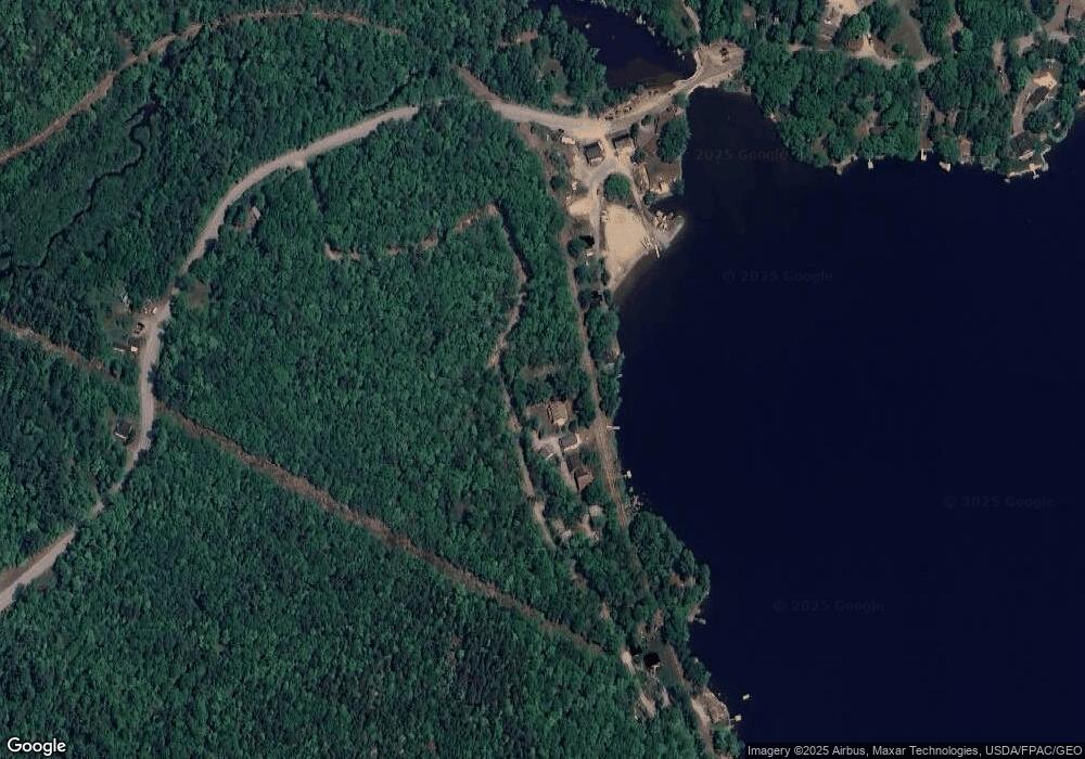
Map
Nearby Homes
- 52 Shore Path
- Lot 69 Grand View Dr
- Lot 24 Grand View Dr
- Lot 21 Grand View Dr
- 802 Green Lake Rd
- 2 Hornbeam Rd
- 4 Landing Way
- 25 Orpine Rd
- 57 Sunset Rd
- 78 Sunset Rd
- 1360 Bangor Rd
- 358 Peakes Hill Rd
- 0 Bald Mountain Rd Unit 1635891
- 18 Tamarac Rd
- 24 Tamarac Rd
- 41 Rowe Brook Rd
- Lot 5 Peakes Hill Rd
- 500 Cosgrove Dr
- TBD Marks Mountain Way
- 1159 Bangor Rd
- 48 Shore Path
- 52 Shore Path Rd
- 64 Shore Path Rd
- 211 Green Lake Rd
- 217 Green Lake Rd
- 76 Shore Path Rd
- 1225 Green Lake Rd
- 1563 Green Lake Rd
- 1222 Green Lake Rd
- 171 Green Lake Rd
- 161 Green Lake Rd
- 225 Green Lake Rd
- 230 Green Lake Rd
- 232 Green Lake Rd
- 14 Fern Grove Way
- 154 Green Lake Rd
- 140 Green Lake Rd
- 94 Shore Path Rd
- 242 Green Lake Rd
- 98 Shore Path Rd
Your Personal Tour Guide
Ask me questions while you tour the home.