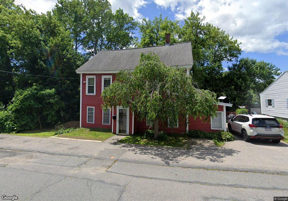
46 Sladen St Dracut, MA 01826
Estimated Value: $403,000 - $561,000
4
Beds
3
Baths
1,560
Sq Ft
$315/Sq Ft
Est. Value
About This Home
This home is located at 46 Sladen St, Dracut, MA 01826 and is currently estimated at $491,122, approximately $314 per square foot. 46 Sladen St is a home located in Middlesex County with nearby schools including George H. Englesby Elementary School, Richardson Middle School, and Dracut Senior High School.
Ownership History
Date
Name
Owned For
Owner Type
Purchase Details
Closed on
Nov 18, 2003
Sold by
Penkethman Claire Louis and Quebec Claire Louis
Bought by
Capeless Laura L and Capeless Matthew J
Current Estimated Value
Home Financials for this Owner
Home Financials are based on the most recent Mortgage that was taken out on this home.
Original Mortgage
$165,000
Outstanding Balance
$75,483
Interest Rate
5.81%
Mortgage Type
Purchase Money Mortgage
Estimated Equity
$415,639
Create a Home Valuation Report for This Property
The Home Valuation Report is an in-depth analysis detailing your home's value as well as a comparison with similar homes in the area
Home Values in the Area
Average Home Value in this Area
Purchase History
| Date | Buyer | Sale Price | Title Company |
|---|---|---|---|
| Capeless Laura L | $165,000 | -- |
Source: Public Records
Mortgage History
| Date | Status | Borrower | Loan Amount |
|---|---|---|---|
| Open | Capeless Laura L | $165,000 |
Source: Public Records
Tax History
| Year | Tax Paid | Tax Assessment Tax Assessment Total Assessment is a certain percentage of the fair market value that is determined by local assessors to be the total taxable value of land and additions on the property. | Land | Improvement |
|---|---|---|---|---|
| 2025 | $4,137 | $408,800 | $179,900 | $228,900 |
| 2024 | $4,124 | $394,600 | $171,300 | $223,300 |
| 2023 | $3,945 | $340,700 | $148,900 | $191,800 |
| 2022 | $3,955 | $321,800 | $135,300 | $186,500 |
| 2021 | $3,815 | $293,200 | $123,000 | $170,200 |
| 2020 | $3,822 | $286,300 | $119,400 | $166,900 |
| 2019 | $3,516 | $255,700 | $113,700 | $142,000 |
| 2018 | $18,747 | $244,800 | $113,700 | $131,100 |
| 2017 | $3,283 | $244,800 | $113,700 | $131,100 |
| 2016 | $3,182 | $214,400 | $109,300 | $105,100 |
| 2015 | $3,055 | $204,600 | $109,300 | $95,300 |
| 2014 | $3,083 | $212,800 | $109,300 | $103,500 |
Source: Public Records
Map
Nearby Homes
- 16 Peabody Ave
- 75 Sladen St
- 26 Farmland Rd Unit C
- 49 Sparks St
- 417 Hildreth St Unit 30
- 367 Hildreth St Unit 14
- 551 Hildreth St Unit 10
- 94 Hampson St
- 345 Hildreth St Unit 14
- 15 Dana St
- 39 Phoebe Ave
- 28 Sarah Ave
- 19 Louis Farm Rd Unit 19
- 13 Louis Farm Rd Unit 13
- 15 Louis Farm Rd Unit 15
- 52 Lawrence Dr Unit 206
- 27 Bunker Hill Ave
- 101 Donohue Rd Unit 19
- 23 18th St
- 35 Whitney Ave Unit 33
- 54 Sladen St
- 32 Sladen St
- 1046 Lakeview Ave
- 1049 Lakeview Ave Unit 5
- 1049 Lakeview Ave Unit 8
- 1049 Lakeview Ave Unit 2
- 1049 Lakeview Ave
- 1049 Lakeview Ave Unit 4
- 1049 Lakeview Ave Unit 6
- 1049 Lakeview Ave Unit 9
- 1049 Lakeview Ave Unit 3
- 1049 Lakeview Ave Unit 7
- 49 Sladen St Unit 51
- 53 Sladen St
- 58 Sladen St Unit 2nd floor
- 33 Sladen St
- 1044 Lakeview Ave
- 1064 Lakeview Ave
- 10-12 Peabody Ave
- 57 Sladen St
Your Personal Tour Guide
Ask me questions while you tour the home.