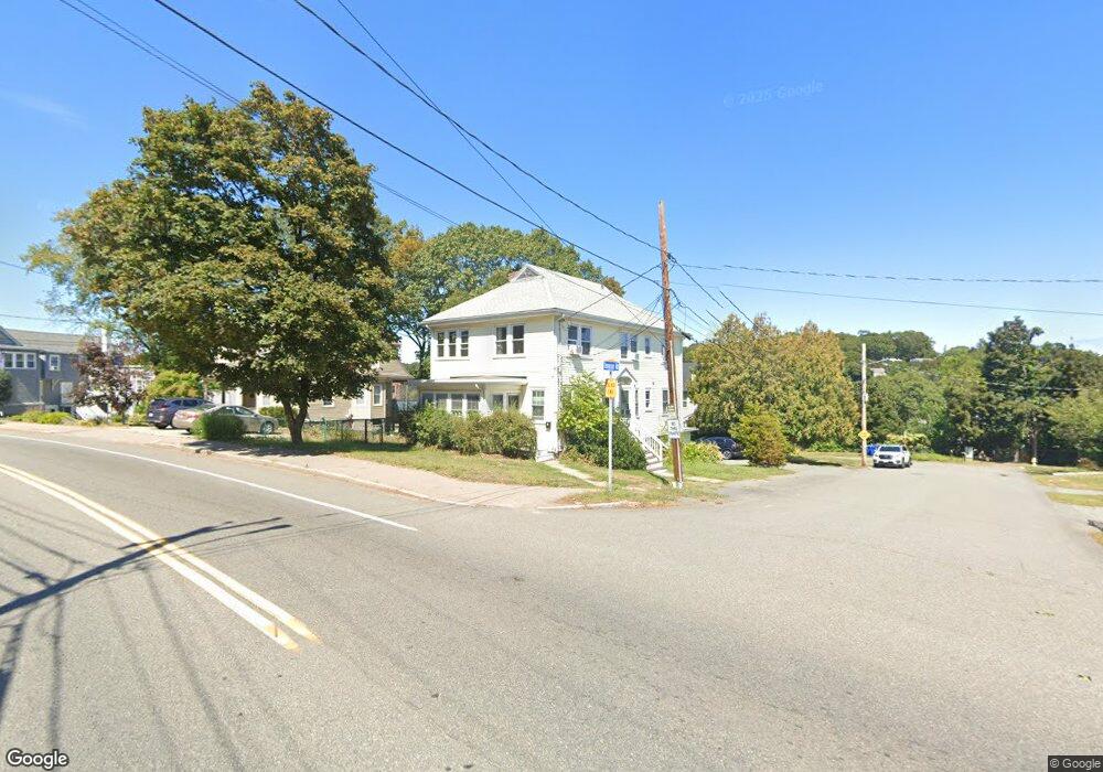
46 Tompson Rd Braintree, MA 02184
East Braintree NeighborhoodEstimated Value: $747,000 - $816,000
6
Beds
2
Baths
1,920
Sq Ft
$405/Sq Ft
Est. Value
About This Home
This home is located at 46 Tompson Rd, Braintree, MA 02184 and is currently estimated at $776,778, approximately $404 per square foot. 46 Tompson Rd is a home located in Norfolk County with nearby schools including Braintree High School, Sacred Heart Elementary School, and South Shore Christian Academy.
Ownership History
Date
Name
Owned For
Owner Type
Purchase Details
Closed on
Apr 18, 2014
Sold by
Thornton Marisa L
Bought by
4-6 Tompson Road Rt and Donovan
Current Estimated Value
Purchase Details
Closed on
Jan 9, 2014
Sold by
4-6 Tompson Road Rt and Donovan
Bought by
Thornton Marisa L
Purchase Details
Closed on
Jul 26, 2002
Sold by
Thompson Ruth
Bought by
Vella Joanne M and Vella Carlyn A
Home Financials for this Owner
Home Financials are based on the most recent Mortgage that was taken out on this home.
Original Mortgage
$336,000
Interest Rate
6.73%
Mortgage Type
Purchase Money Mortgage
Create a Home Valuation Report for This Property
The Home Valuation Report is an in-depth analysis detailing your home's value as well as a comparison with similar homes in the area
Home Values in the Area
Average Home Value in this Area
Purchase History
| Date | Buyer | Sale Price | Title Company |
|---|---|---|---|
| 4-6 Tompson Road Rt | -- | -- | |
| 4-6 Tompson Road Rt | -- | -- | |
| 4-6 Tompson Road Rt | -- | -- | |
| Thornton Marisa L | -- | -- | |
| Thornton Marisa L | -- | -- | |
| Thornton Marisa L | -- | -- | |
| Vella Joanne M | $420,000 | -- | |
| Vella Joanne M | $420,000 | -- |
Source: Public Records
Mortgage History
| Date | Status | Borrower | Loan Amount |
|---|---|---|---|
| Previous Owner | Vella Joanne M | $336,000 |
Source: Public Records
Tax History
| Year | Tax Paid | Tax Assessment Tax Assessment Total Assessment is a certain percentage of the fair market value that is determined by local assessors to be the total taxable value of land and additions on the property. | Land | Improvement |
|---|---|---|---|---|
| 2025 | $6,771 | $678,500 | $335,600 | $342,900 |
| 2024 | $6,175 | $651,400 | $312,900 | $338,500 |
| 2023 | $5,823 | $596,600 | $281,100 | $315,500 |
| 2022 | $5,666 | $569,400 | $253,900 | $315,500 |
| 2021 | $5,422 | $544,900 | $229,400 | $315,500 |
| 2020 | $4,957 | $502,700 | $208,600 | $294,100 |
| 2019 | $4,646 | $460,500 | $199,500 | $261,000 |
| 2018 | $4,547 | $431,400 | $181,400 | $250,000 |
| 2017 | $4,288 | $399,300 | $172,300 | $227,000 |
| 2016 | $3,834 | $349,200 | $145,100 | $204,100 |
| 2015 | $3,846 | $347,400 | $143,300 | $204,100 |
| 2014 | $3,630 | $317,900 | $130,600 | $187,300 |
Source: Public Records
Map
Nearby Homes
- 125 Allen St Unit A
- 41 Lantern Ln
- 37 Lantern Ln
- 51 Faxon St
- 122 Washington St Unit Twenty-two
- 16 Beechwood Rd
- 11 Richmond St
- 12 Franklin St
- 97 Liberty St
- 141 Hobart St
- 116 Gordon Rd
- 312 Shaw St
- 15 Summer St
- 114 Broad St Unit D
- 16 Lindbergh Ave
- 74 Magnolia St
- 583 Union St
- 9 Berwick St
- 26 Sun Valley Dr
- 19 Vine St Unit 3
- 121 Commercial St
- 12 Tompson Rd Unit 2
- 12 Tompson Rd Unit 14
- 115 Commercial St
- 118 Commercial St
- 135 Commercial St
- 9 Tompson Rd
- 109 Commercial St
- 15 Tompson Rd
- 141 Commercial St Unit 15
- 141 Commercial St Unit 14
- 141 Commercial St Unit 12
- 141 Commercial St Unit 11
- 141 Commercial St Unit 10
- 141 Commercial St Unit 9
- 141 Commercial St Unit 8
- 141 Commercial St Unit 7
- 141 Commercial St Unit 6
- 141 Commercial St Unit 4
- 141 Commercial St Unit 3