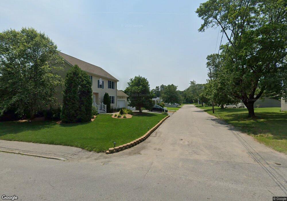
46 Walnut St Somerset, MA 02726
Pottersville NeighborhoodEstimated Value: $429,000 - $476,000
2
Beds
1
Bath
864
Sq Ft
$519/Sq Ft
Est. Value
About This Home
This home is located at 46 Walnut St, Somerset, MA 02726 and is currently estimated at $448,216, approximately $518 per square foot. 46 Walnut St is a home located in Bristol County with nearby schools including Chace Street School, Somerset Middle School, and Swansea Wood School.
Ownership History
Date
Name
Owned For
Owner Type
Purchase Details
Closed on
Feb 17, 2015
Sold by
Mccarty James L
Bought by
Mccarty Tina L and Mccarty James L
Current Estimated Value
Home Financials for this Owner
Home Financials are based on the most recent Mortgage that was taken out on this home.
Original Mortgage
$122,000
Outstanding Balance
$69,218
Interest Rate
3.9%
Mortgage Type
New Conventional
Estimated Equity
$378,998
Purchase Details
Closed on
Feb 19, 2004
Sold by
Mccarty James L and Mccarty Tina L
Bought by
Mccarty James L
Purchase Details
Closed on
Oct 6, 1995
Sold by
Greenwell John M and Greenwell Kathleen M
Bought by
Mccarty James L and Mccarty Tina L
Home Financials for this Owner
Home Financials are based on the most recent Mortgage that was taken out on this home.
Original Mortgage
$120,870
Interest Rate
7.86%
Mortgage Type
Purchase Money Mortgage
Create a Home Valuation Report for This Property
The Home Valuation Report is an in-depth analysis detailing your home's value as well as a comparison with similar homes in the area
Home Values in the Area
Average Home Value in this Area
Purchase History
| Date | Buyer | Sale Price | Title Company |
|---|---|---|---|
| Mccarty Tina L | -- | -- | |
| Mccarty Tina L | -- | -- | |
| Mccarty James L | -- | -- | |
| Mccarty James L | -- | -- | |
| Mccarty James L | $118,500 | -- | |
| Mccarty James L | $118,500 | -- |
Source: Public Records
Mortgage History
| Date | Status | Borrower | Loan Amount |
|---|---|---|---|
| Open | Mccarty Tina L | $122,000 | |
| Closed | Mccarty Tina L | $122,000 | |
| Previous Owner | Mccarty James L | $121,000 | |
| Previous Owner | Mccarty James L | $120,870 |
Source: Public Records
Tax History Compared to Growth
Tax History
| Year | Tax Paid | Tax Assessment Tax Assessment Total Assessment is a certain percentage of the fair market value that is determined by local assessors to be the total taxable value of land and additions on the property. | Land | Improvement |
|---|---|---|---|---|
| 2025 | $5,041 | $379,000 | $178,500 | $200,500 |
| 2024 | $4,849 | $379,100 | $178,500 | $200,600 |
| 2023 | $4,229 | $333,500 | $155,000 | $178,500 |
| 2022 | $3,895 | $293,100 | $133,600 | $159,500 |
| 2021 | $3,921 | $267,100 | $120,600 | $146,500 |
| 2020 | $3,904 | $256,500 | $120,800 | $135,700 |
| 2019 | $4,493 | $246,200 | $120,800 | $125,400 |
| 2018 | $3,847 | $226,800 | $116,400 | $110,400 |
| 2017 | $3,772 | $216,800 | $111,000 | $105,800 |
| 2016 | $3,796 | $216,800 | $111,000 | $105,800 |
| 2015 | $3,617 | $208,500 | $106,000 | $102,500 |
| 2014 | $4,936 | $204,400 | $102,900 | $101,500 |
Source: Public Records
Map
Nearby Homes
- 34 Barry Ave
- 701 Prospect St
- 287 Bark St
- 0 Bark St Unit 73152576
- 0 Bark St Unit 1342599
- 50 Pratt Ave
- 61 Stevens Rd
- 2714 Riverside Ave
- 135 Grove Ave
- 95 Brookside Rd
- 64 Jaffrey St
- 82 Perry Ave
- 64 Midland Rd
- 34 Doherty Ave
- 126 Jaffrey St
- 4 Swansom Rd
- 265 Stevens Rd
- 84 Thomas Dr
- 122 Robin Ln
- 190 Gibbs St