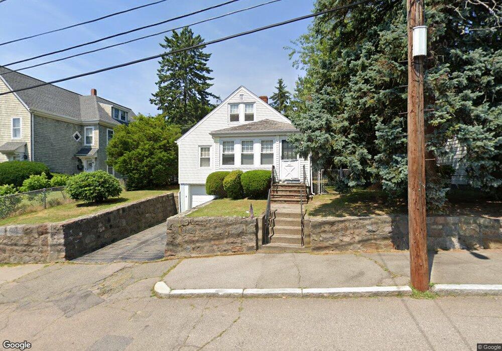
46 Wesson Ave Quincy, MA 02169
Estimated Value: $528,000 - $598,989
3
Beds
1
Bath
1,125
Sq Ft
$492/Sq Ft
Est. Value
About This Home
This home is located at 46 Wesson Ave, Quincy, MA 02169 and is currently estimated at $553,247, approximately $491 per square foot. 46 Wesson Ave is a home located in Norfolk County with nearby schools including South West Middle School, Lincoln-Hancock Community School, and Quincy High School.
Ownership History
Date
Name
Owned For
Owner Type
Purchase Details
Closed on
Mar 22, 2018
Sold by
Ogle William J
Bought by
Anne M Ogle Ret and Ogle
Current Estimated Value
Create a Home Valuation Report for This Property
The Home Valuation Report is an in-depth analysis detailing your home's value as well as a comparison with similar homes in the area
Purchase History
| Date | Buyer | Sale Price | Title Company |
|---|---|---|---|
| Anne M Ogle Ret | -- | -- |
Source: Public Records
Tax History
| Year | Tax Paid | Tax Assessment Tax Assessment Total Assessment is a certain percentage of the fair market value that is determined by local assessors to be the total taxable value of land and additions on the property. | Land | Improvement |
|---|---|---|---|---|
| 2025 | $5,906 | $512,200 | $317,900 | $194,300 |
| 2024 | $5,532 | $490,900 | $303,100 | $187,800 |
| 2023 | $5,427 | $487,600 | $289,000 | $198,600 |
| 2022 | $5,044 | $421,000 | $232,300 | $188,700 |
| 2021 | $4,976 | $409,900 | $232,300 | $177,600 |
| 2020 | $4,925 | $396,200 | $232,300 | $163,900 |
| 2019 | $4,695 | $374,100 | $225,800 | $148,300 |
| 2018 | $4,626 | $346,800 | $209,500 | $137,300 |
| 2017 | $4,543 | $320,600 | $199,800 | $120,800 |
| 2016 | $4,259 | $296,600 | $182,200 | $114,400 |
| 2015 | $4,009 | $274,600 | $172,200 | $102,400 |
| 2014 | $3,957 | $266,300 | $172,200 | $94,100 |
Source: Public Records
Map
Nearby Homes
- 510 Willard St
- 36 Village Dr
- 9 Westford St
- 87 Village Dr
- 459 Willard St Unit 303
- 25 McDonald St
- 51 Branch St Unit 2
- 132 Centre St
- 211 Copeland St
- 57 Buckley St
- 21 Totman St Unit 308
- 21 Totman St Unit 205
- 21 Totman St Unit 404
- 21 Totman St Unit 309
- 21 Totman St Unit 203
- 21 Totman St Unit PH-406
- 21 Totman St Unit 301
- 21 Totman St Unit PH-405
- 21 Totman St Unit 407
- 14 Arthur Ave
Your Personal Tour Guide
Ask me questions while you tour the home.