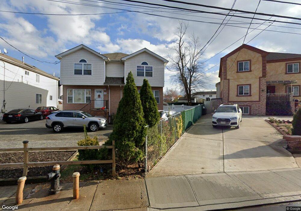
460-470 Arthur Kill Rd Staten Island, NY 10308
Great Kills NeighborhoodEstimated Value: $609,000 - $719,000
--
Bed
4
Baths
1,280
Sq Ft
$512/Sq Ft
Est. Value
About This Home
This home is located at 460-470 Arthur Kill Rd, Staten Island, NY 10308 and is currently estimated at $655,578, approximately $512 per square foot. 460-470 Arthur Kill Rd is a home located in Richmond County with nearby schools including P.S. 32 The Gifford School, I.S. 075 Frank D. Paulo, and Susan E Wagner High School.
Ownership History
Date
Name
Owned For
Owner Type
Purchase Details
Closed on
Sep 15, 2003
Sold by
Maple Development Corp
Bought by
Ruiz Mary B
Current Estimated Value
Home Financials for this Owner
Home Financials are based on the most recent Mortgage that was taken out on this home.
Original Mortgage
$224,900
Interest Rate
4.87%
Mortgage Type
Fannie Mae Freddie Mac
Purchase Details
Closed on
Mar 28, 2002
Sold by
Levin Lisa and Levin Howard
Bought by
Maple Development Corp
Home Financials for this Owner
Home Financials are based on the most recent Mortgage that was taken out on this home.
Original Mortgage
$600,000
Interest Rate
7.15%
Mortgage Type
Stand Alone First
Create a Home Valuation Report for This Property
The Home Valuation Report is an in-depth analysis detailing your home's value as well as a comparison with similar homes in the area
Home Values in the Area
Average Home Value in this Area
Purchase History
| Date | Buyer | Sale Price | Title Company |
|---|---|---|---|
| Ruiz Mary B | $289,900 | Commonwealth Land Title Insu | |
| Maple Development Corp | $990,000 | Commonwealth Land Title Ins |
Source: Public Records
Mortgage History
| Date | Status | Borrower | Loan Amount |
|---|---|---|---|
| Previous Owner | Ruiz Mary B | $224,900 | |
| Previous Owner | Maple Development Corp | $600,000 |
Source: Public Records
Tax History Compared to Growth
Tax History
| Year | Tax Paid | Tax Assessment Tax Assessment Total Assessment is a certain percentage of the fair market value that is determined by local assessors to be the total taxable value of land and additions on the property. | Land | Improvement |
|---|---|---|---|---|
| 2025 | $2,195 | $40,320 | $6,401 | $33,919 |
| 2024 | $2,300 | $40,500 | $6,373 | $34,127 |
| 2023 | $2,310 | $29,240 | $6,125 | $23,115 |
| 2022 | $2,094 | $34,020 | $8,760 | $25,260 |
| 2021 | $2,027 | $35,880 | $8,760 | $27,120 |
| 2020 | $1,939 | $32,880 | $8,760 | $24,120 |
| 2019 | $1,909 | $30,780 | $8,760 | $22,020 |
| 2018 | $1,824 | $24,367 | $7,275 | $17,092 |
| 2017 | $1,742 | $22,988 | $8,068 | $14,920 |
| 2016 | $1,547 | $21,687 | $7,666 | $14,021 |
| 2015 | -- | $20,460 | $7,320 | $13,140 |
| 2014 | -- | $20,460 | $7,320 | $13,140 |
Source: Public Records
Map
Nearby Homes
- 87 Pemberton Ave
- 132 Elkhart St
- 420 Arthur Kill Rd
- 466 Doane Ave
- 72 Eric Ln
- 12 Lexington Ln
- 414 Elverton Ave
- 379 Brookfield Ave
- 62 Daleham St
- 350 Brookfield Ave
- 12 Troy St
- 38 Troy St
- 40 Troy St
- 259 Brookfield Ave
- 339 Abingdon Ave
- 52 Barlow Ave
- 307 Abingdon Ave
- 305 Corbin Ave
- 74 E Brandis Ave
- 47 Jumel St
- 460 Arthur Kill Rd Unit 470
- 458 Arthur Kill Rd
- 464 Arthur Kill Rd Unit Basement
- 464 Arthur Kill Rd Unit 1
- 464 Arthur Kill Rd
- 456 Arthur Kill Rd
- 454 Arthur Kill Rd
- 460 Giffords Ln
- 452 Arthur Kill Rd
- 484 Arthur Kill Rd
- 468 Arthur Kill Rd
- 450 Arthur Kill Rd
- 120 Pemberton Ave Unit 1
- 120 Pemberton Ave Unit 2
- 120 Pemberton Ave
- 466 Giffords Ln
- 468 Giffords Ln
- 450 Giffords Ln
- 448 Arthur Kill Rd
- 117 Pemberton Ave Unit 119