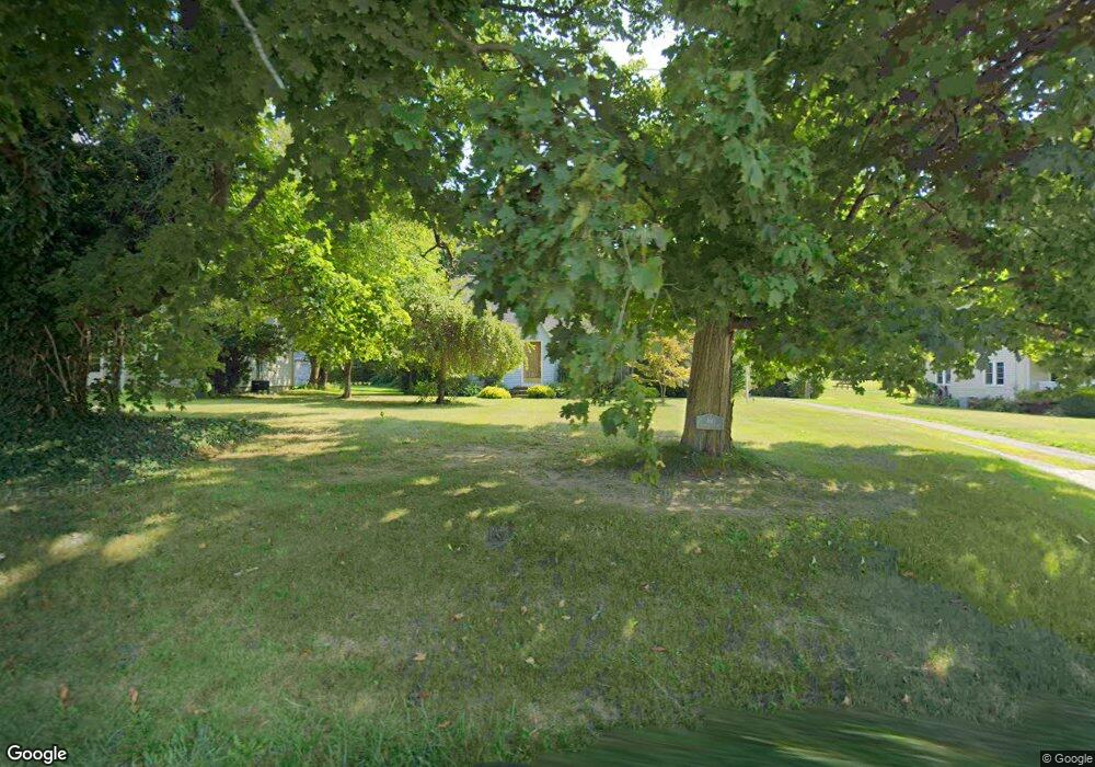
460 Bowhall Rd Painesville, OH 44077
Estimated Value: $178,000 - $196,000
3
Beds
1
Bath
1,104
Sq Ft
$170/Sq Ft
Est. Value
About This Home
This home is located at 460 Bowhall Rd, Painesville, OH 44077 and is currently estimated at $187,772, approximately $170 per square foot. 460 Bowhall Rd is a home located in Lake County with nearby schools including Henry F. Lamuth Middle School, Riverside Junior/Senior High School, and Summit Academy Community School - Painesville.
Ownership History
Date
Name
Owned For
Owner Type
Purchase Details
Closed on
Dec 30, 1998
Sold by
Orris Robert A and Orris Mary L
Bought by
Orris Dave R
Current Estimated Value
Home Financials for this Owner
Home Financials are based on the most recent Mortgage that was taken out on this home.
Original Mortgage
$104,000
Outstanding Balance
$24,517
Interest Rate
6.95%
Estimated Equity
$163,255
Purchase Details
Closed on
Mar 11, 1985
Bought by
Orris Robert A
Create a Home Valuation Report for This Property
The Home Valuation Report is an in-depth analysis detailing your home's value as well as a comparison with similar homes in the area
Home Values in the Area
Average Home Value in this Area
Purchase History
| Date | Buyer | Sale Price | Title Company |
|---|---|---|---|
| Orris Dave R | $130,000 | Tower City Title Agency Inc | |
| Orris Robert A | -- | -- |
Source: Public Records
Mortgage History
| Date | Status | Borrower | Loan Amount |
|---|---|---|---|
| Open | Orris Dave R | $104,000 |
Source: Public Records
Tax History Compared to Growth
Tax History
| Year | Tax Paid | Tax Assessment Tax Assessment Total Assessment is a certain percentage of the fair market value that is determined by local assessors to be the total taxable value of land and additions on the property. | Land | Improvement |
|---|---|---|---|---|
| 2024 | -- | $52,160 | $15,600 | $36,560 |
| 2023 | $4,249 | $38,990 | $11,330 | $27,660 |
| 2022 | $2,346 | $38,990 | $11,330 | $27,660 |
| 2021 | $2,354 | $38,990 | $11,330 | $27,660 |
| 2020 | $2,320 | $33,920 | $9,860 | $24,060 |
| 2019 | $2,337 | $33,920 | $9,860 | $24,060 |
| 2018 | $2,345 | $36,620 | $14,110 | $22,510 |
| 2017 | $2,604 | $36,620 | $14,110 | $22,510 |
| 2016 | $2,300 | $36,620 | $14,110 | $22,510 |
| 2015 | $2,151 | $36,620 | $14,110 | $22,510 |
| 2014 | $2,187 | $36,620 | $14,110 | $22,510 |
| 2013 | $2,138 | $36,620 | $14,110 | $22,510 |
Source: Public Records
Map
Nearby Homes
- 1182 Dalton Dr
- 1172 Dalton Dr
- 500 Park Rd
- 396 Park Rd
- 0 N Ridge Rd Unit 5110949
- 43 Bristol Ave
- 525 Morgan Dr
- V/L Morgan Dr
- 44 Grove Ave
- 1787 Muirfield Ln
- 389 Sand Trap Cir
- 399 Sandtrap Cir
- 1598 Bogie Ln
- 269 Hale Rd
- 499 Sand Trap Cir
- 547 Greenside Dr
- 58 Deerfield Dr
- 67 Tanners Farm Dr
- 65 Tanners Farm Dr
- 108 Birch Dr