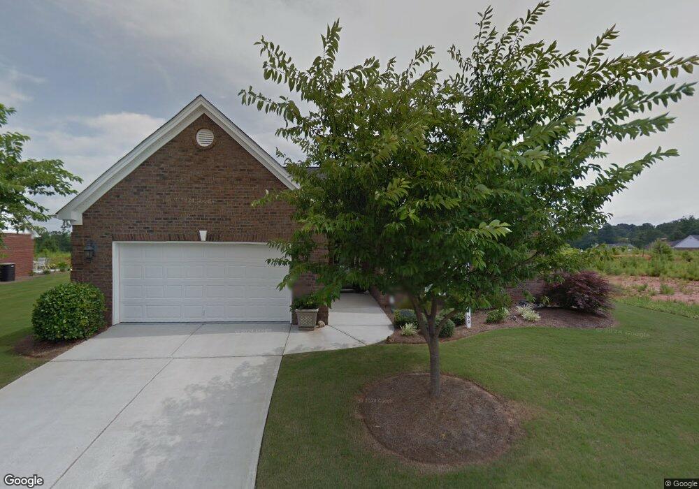
460 Crossroads Dr Social Circle, GA 30025
Estimated Value: $391,000 - $433,000
--
Bed
1
Bath
2,600
Sq Ft
$156/Sq Ft
Est. Value
About This Home
This home is located at 460 Crossroads Dr, Social Circle, GA 30025 and is currently estimated at $404,345, approximately $155 per square foot. 460 Crossroads Dr is a home located in Walton County with nearby schools including Social Circle Primary School, Social Circle Elementary School, and Social Circle Middle School.
Ownership History
Date
Name
Owned For
Owner Type
Purchase Details
Closed on
Apr 20, 2007
Sold by
Star Hm Builders Inc
Bought by
Goodroe William J
Current Estimated Value
Home Financials for this Owner
Home Financials are based on the most recent Mortgage that was taken out on this home.
Original Mortgage
$150,000
Outstanding Balance
$90,444
Interest Rate
6.1%
Mortgage Type
New Conventional
Estimated Equity
$313,901
Purchase Details
Closed on
Nov 13, 2006
Sold by
Matrix Dev Llc
Bought by
Star Hm Builders Inc
Create a Home Valuation Report for This Property
The Home Valuation Report is an in-depth analysis detailing your home's value as well as a comparison with similar homes in the area
Home Values in the Area
Average Home Value in this Area
Purchase History
| Date | Buyer | Sale Price | Title Company |
|---|---|---|---|
| Goodroe William J | $255,900 | -- | |
| Star Hm Builders Inc | -- | -- |
Source: Public Records
Mortgage History
| Date | Status | Borrower | Loan Amount |
|---|---|---|---|
| Open | Goodroe William J | $150,000 |
Source: Public Records
Tax History Compared to Growth
Tax History
| Year | Tax Paid | Tax Assessment Tax Assessment Total Assessment is a certain percentage of the fair market value that is determined by local assessors to be the total taxable value of land and additions on the property. | Land | Improvement |
|---|---|---|---|---|
| 2024 | $2,114 | $149,440 | $26,000 | $123,440 |
| 2023 | $2,006 | $135,680 | $22,000 | $113,680 |
| 2022 | $934 | $115,160 | $16,600 | $98,560 |
| 2021 | $934 | $108,920 | $16,000 | $92,920 |
| 2020 | $957 | $105,760 | $14,000 | $91,760 |
| 2019 | $978 | $87,400 | $16,800 | $70,600 |
| 2018 | $909 | $87,400 | $16,800 | $70,600 |
| 2017 | $3,652 | $87,400 | $16,800 | $70,600 |
| 2016 | $945 | $87,400 | $16,800 | $70,600 |
| 2015 | $766 | $72,440 | $15,200 | $57,240 |
| 2014 | $741 | $66,960 | $0 | $0 |
Source: Public Records
Map
Nearby Homes
- 215 Park Place Trail
- 210 Park Place Trail
- 413 Crossroads Dr
- 939 Park Place St
- The Trenton Plan at Town Park
- The Scottsdale Plan at Town Park
- 967 Park Place St
- 381 Crossroads Dr
- 2049 Emily Dr
- 1007 Towne Cir
- 695 Park Place Way
- 690 Park Place Way
- 310 Crossroads Dr
- 1244 Morrow Dr
- 443 Windsong Ln
- 355 Conner Ct
- 357 W Hightower Trail
- 159 S Forest Ave
- 127 Holly St NE
- 304 Dogwood Ave
- 450 Crossroads Dr Unit 41
- 450 Crossroads Dr
- 470 Crossroads Dr
- 181 Park Place Trail
- 195 Park Place Trail Unit 65
- 195 Park Place Trail
- 440 Crossroads Dr
- 440 Crossroads Dr Unit 42
- 453 Crossroads Dr Unit 37
- 480 Crossroads Dr
- 171 Park Place Trail
- 443 Crossroads Dr
- 205 Park Place Trail
- 205 Park Place Trail Unit 66
- 430 Crossroads Dr
- 161 Park Place Trail
- 190 Park Place Trail Unit 79
- 190 Park Place Trail
- 433 Crossroads Dr
- 180 Park Place Trail