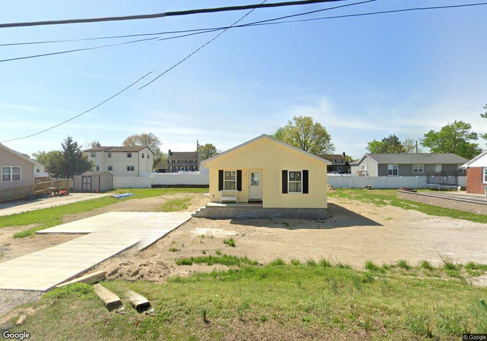
460 E Broad St Gibbstown, NJ 08027
Estimated Value: $199,841 - $360,000
Studio
--
Bath
--
Sq Ft
10,019
Sq Ft Lot
About This Home
This home is located at 460 E Broad St, Gibbstown, NJ 08027 and is currently estimated at $252,460. 460 E Broad St is a home with nearby schools including Nehaunsey Middle School and Guardian Angels Regional School.
Ownership History
Date
Name
Owned For
Owner Type
Purchase Details
Closed on
May 5, 2022
Sold by
Michael Nicholas G and Michael Helmar D
Bought by
Zee Patricia Barger
Current Estimated Value
Purchase Details
Closed on
Mar 17, 2010
Sold by
Futia Alfred and Futia Shirley
Bought by
Michael Nicholas G and Michael Helmar D
Purchase Details
Closed on
Aug 2, 1994
Sold by
Knorr Leonard Lee
Bought by
Futia Alfred and Futia Shirley
Create a Home Valuation Report for This Property
The Home Valuation Report is an in-depth analysis detailing your home's value as well as a comparison with similar homes in the area
Home Values in the Area
Average Home Value in this Area
Purchase History
| Date | Buyer | Sale Price | Title Company |
|---|---|---|---|
| Zee Patricia Barger | $40,000 | Rodio William A | |
| Michael Nicholas G | $12,000 | None Available | |
| Futia Alfred | -- | -- |
Source: Public Records
Tax History
| Year | Tax Paid | Tax Assessment Tax Assessment Total Assessment is a certain percentage of the fair market value that is determined by local assessors to be the total taxable value of land and additions on the property. | Land | Improvement |
|---|---|---|---|---|
| 2025 | $823 | $81,916 | $23,900 | $102,000 |
| 2024 | $780 | $23,900 | $23,900 | $0 |
Source: Public Records
Map
Nearby Homes
- 135 Mellon Ave
- 318 E Broad St
- L18 20 W Broad St
- 1311 Penn Line Rd
- 255 Elizabeth Ave
- 269 W Broad St
- 268 Memorial Ave
- 1043 Penn Line Rd
- 1003 Hoffman Ave
- 227 W Washington St
- 227 W Buck St
- 1224 Heddon Ave
- 205 W Adams St
- 0 Swedesboro Ave Unit NJGL2061592
- 1221 Walter Ave
- 122 W Washington St
- 1534 Pine St
- 1519 Pine St
- 53-55 Roosevelt St
- 157 S School St
Your Personal Tour Guide
Ask me questions while you tour the home.