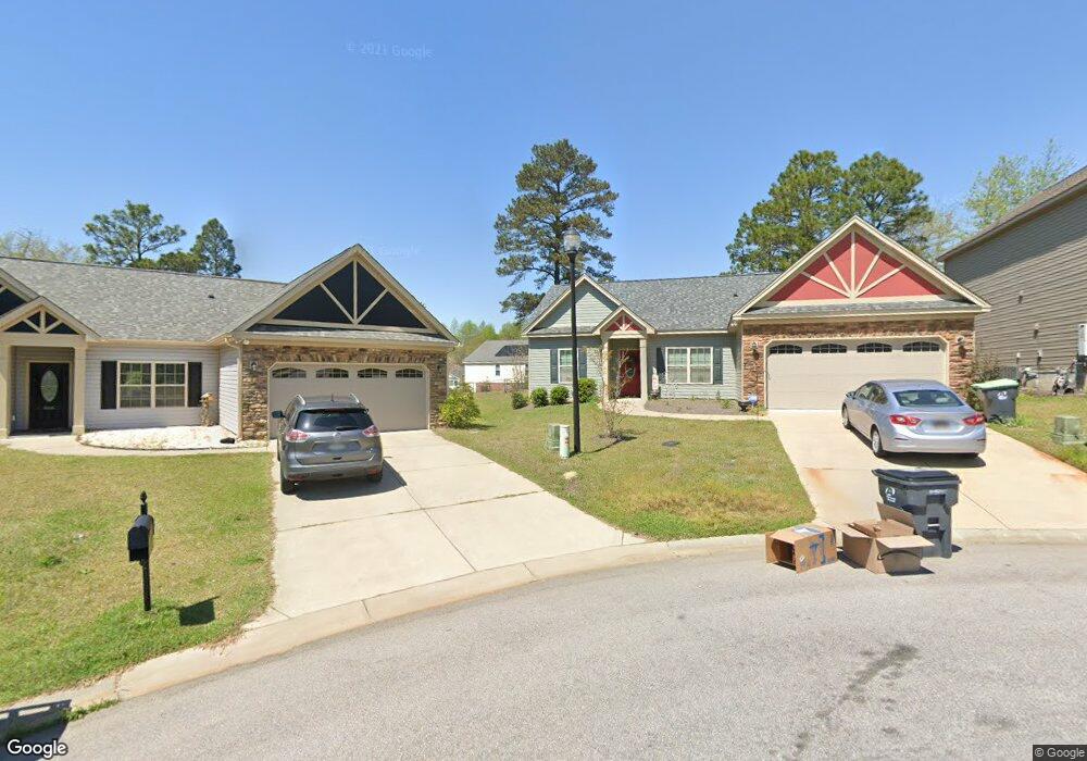
460 Emanuel Creek Dr West Columbia, SC 29170
Estimated Value: $256,216 - $263,000
3
Beds
2
Baths
1,488
Sq Ft
$174/Sq Ft
Est. Value
About This Home
This home is located at 460 Emanuel Creek Dr, West Columbia, SC 29170 and is currently estimated at $258,554, approximately $173 per square foot. 460 Emanuel Creek Dr is a home located in Lexington County with nearby schools including White Knoll Elementary School, White Knoll Middle School, and White Knoll High School.
Ownership History
Date
Name
Owned For
Owner Type
Purchase Details
Closed on
Dec 4, 2024
Sold by
Price Lorita Dell and Price Shirley Teliah
Bought by
Brown Roxanne B
Current Estimated Value
Purchase Details
Closed on
Aug 25, 2022
Sold by
Jones Frances M
Bought by
Shirley Teilah C
Purchase Details
Closed on
Jan 24, 2017
Sold by
Hurricane Construction Inc
Bought by
Jones Frances M
Home Financials for this Owner
Home Financials are based on the most recent Mortgage that was taken out on this home.
Original Mortgage
$137,490
Interest Rate
4.2%
Mortgage Type
New Conventional
Purchase Details
Closed on
Sep 7, 2016
Sold by
Hurricane Development At Emanuel Llc
Bought by
Hurricane Construction Inc
Create a Home Valuation Report for This Property
The Home Valuation Report is an in-depth analysis detailing your home's value as well as a comparison with similar homes in the area
Home Values in the Area
Average Home Value in this Area
Purchase History
| Date | Buyer | Sale Price | Title Company |
|---|---|---|---|
| Brown Roxanne B | $253,000 | None Listed On Document | |
| Brown Roxanne B | $253,000 | None Listed On Document | |
| Shirley Teilah C | $137,490 | -- | |
| Shirley Teilah C | $137,490 | None Listed On Document | |
| Jones Frances M | $137,490 | None Available | |
| Hurricane Construction Inc | $81,000 | None Available |
Source: Public Records
Mortgage History
| Date | Status | Borrower | Loan Amount |
|---|---|---|---|
| Previous Owner | Jones Frances M | $137,490 |
Source: Public Records
Tax History Compared to Growth
Tax History
| Year | Tax Paid | Tax Assessment Tax Assessment Total Assessment is a certain percentage of the fair market value that is determined by local assessors to be the total taxable value of land and additions on the property. | Land | Improvement |
|---|---|---|---|---|
| 2024 | $1,035 | $11,700 | $2,400 | $9,300 |
| 2023 | $5,802 | $5,511 | $1,200 | $4,311 |
| 2020 | $428 | $5,511 | $1,200 | $4,311 |
| 2019 | $436 | $5,500 | $1,000 | $4,500 |
| 2018 | $4,062 | $8,249 | $1,500 | $6,749 |
| 2017 | $145 | $300 | $300 | $0 |
| 2016 | -- | $0 | $0 | $0 |
Source: Public Records
Map
Nearby Homes
- 827 Daniel Lake Ct
- 811 Daniel Lake Ct
- 807 Daniel Lake Ct
- 812 Daniel Lake Ct
- 820 Daniel Lake Ct
- 724 Samantha St
- 720 Samantha St
- 716 Samantha St
- 754 Samantha St
- 758 Samantha St
- 712 Samantha St
- 721 Samantha St
- 725 Samantha St
- 766 Samantha St
- 709 Samantha St
- 241 Dove Trace Dr
- 1179 Lake Shire Dr
- 230 Fox Lake Dr
- 189 Pebble Creek Dr
- 142 Katie Ct
- 456 Emanuel Creek Dr
- 466 Emanuel Creek Dr
- 452 Emanuel Creek Dr
- 457 Coops Ct
- 453 Coops Ct
- 461 Coops Ct
- 448 Emanuel Creek Dr
- 449 Coops Ct
- 465 Coops Ct
- 444 Emanuel Creek Dr
- 455 Emanuel Creek Dr
- 449 Emanuel Creek Dr
- 469 Coops Ct
- 440 Emanuel Creek Dr
- 445 Emanuel Creek Dr
- 441 Coops Ct
- 637 Long Stream Ct
- 456 Coops Ct
- 441 Emanuel Creek Dr
- 452 Coops Ct