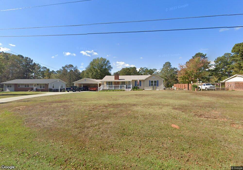
460 Fling Rd Lagrange, GA 30240
Estimated Value: $192,374 - $222,000
3
Beds
2
Baths
1,644
Sq Ft
$127/Sq Ft
Est. Value
About This Home
This home is located at 460 Fling Rd, Lagrange, GA 30240 and is currently estimated at $208,594, approximately $126 per square foot. 460 Fling Rd is a home located in Troup County with nearby schools including Berta Weathersbee Elementary School, Long Cane Elementary School, and Whitesville Road Elementary School.
Ownership History
Date
Name
Owned For
Owner Type
Purchase Details
Closed on
Sep 15, 1997
Sold by
Michael K Bowen
Bought by
Allen Donna L
Current Estimated Value
Purchase Details
Closed on
Jan 19, 1993
Sold by
Rings Forklift
Bought by
Michael K Bowen
Purchase Details
Closed on
Sep 22, 1989
Sold by
Lonnie R Nelson
Bought by
Rings Forklift
Purchase Details
Closed on
Sep 1, 1985
Sold by
Randy R Nelson
Bought by
Lonnie R Nelson
Purchase Details
Closed on
Oct 27, 1980
Sold by
S T and Runell Janney
Bought by
Randy R Nelson
Purchase Details
Closed on
Jan 1, 1964
Bought by
S T and Runell Janney
Purchase Details
Closed on
Jan 1, 1963
Create a Home Valuation Report for This Property
The Home Valuation Report is an in-depth analysis detailing your home's value as well as a comparison with similar homes in the area
Home Values in the Area
Average Home Value in this Area
Purchase History
| Date | Buyer | Sale Price | Title Company |
|---|---|---|---|
| Allen Donna L | $45,000 | -- | |
| Michael K Bowen | $14,000 | -- | |
| Rings Forklift | $30,000 | -- | |
| Lonnie R Nelson | $35,000 | -- | |
| Randy R Nelson | $28,500 | -- | |
| S T | -- | -- | |
| -- | -- | -- |
Source: Public Records
Tax History Compared to Growth
Tax History
| Year | Tax Paid | Tax Assessment Tax Assessment Total Assessment is a certain percentage of the fair market value that is determined by local assessors to be the total taxable value of land and additions on the property. | Land | Improvement |
|---|---|---|---|---|
| 2024 | $1,001 | $63,600 | $10,000 | $53,600 |
| 2023 | $941 | $62,360 | $8,000 | $54,360 |
| 2022 | $1,330 | $57,600 | $8,000 | $49,600 |
| 2021 | $1,137 | $47,640 | $8,000 | $39,640 |
| 2020 | $1,137 | $47,640 | $8,000 | $39,640 |
| 2019 | $829 | $37,440 | $4,720 | $32,720 |
| 2018 | $740 | $34,480 | $4,720 | $29,760 |
| 2017 | $740 | $34,480 | $4,720 | $29,760 |
| 2016 | $952 | $33,540 | $4,720 | $28,820 |
| 2015 | $954 | $33,540 | $4,720 | $28,820 |
| 2014 | $909 | $32,024 | $4,720 | $27,304 |
| 2013 | -- | $26,467 | $4,720 | $21,747 |
Source: Public Records
Map
Nearby Homes
- 37 Overbrook Dr
- 509 Connie Dr
- 0 Bradfield Dr Unit 10568803
- 808 S Fling Rd
- 190 Hill Rd
- 124 Foxdale Dr
- 110 Hawthorne Cir
- 146 Whitaker Rd
- 141 Avery Dr
- 103 Hawthorne Cir
- 105 Hawthorne Cir
- 100 Huntcliff Ct
- 61 Freeman Rd
- 22 Freeman Rd
- 0 Unit 10514554
- 223 Pinehaven Dr
- 117 Brookwood Dr
- 135 Planters Ridge Dr
- LOT 4 Angela Dr
- E Angela Dr