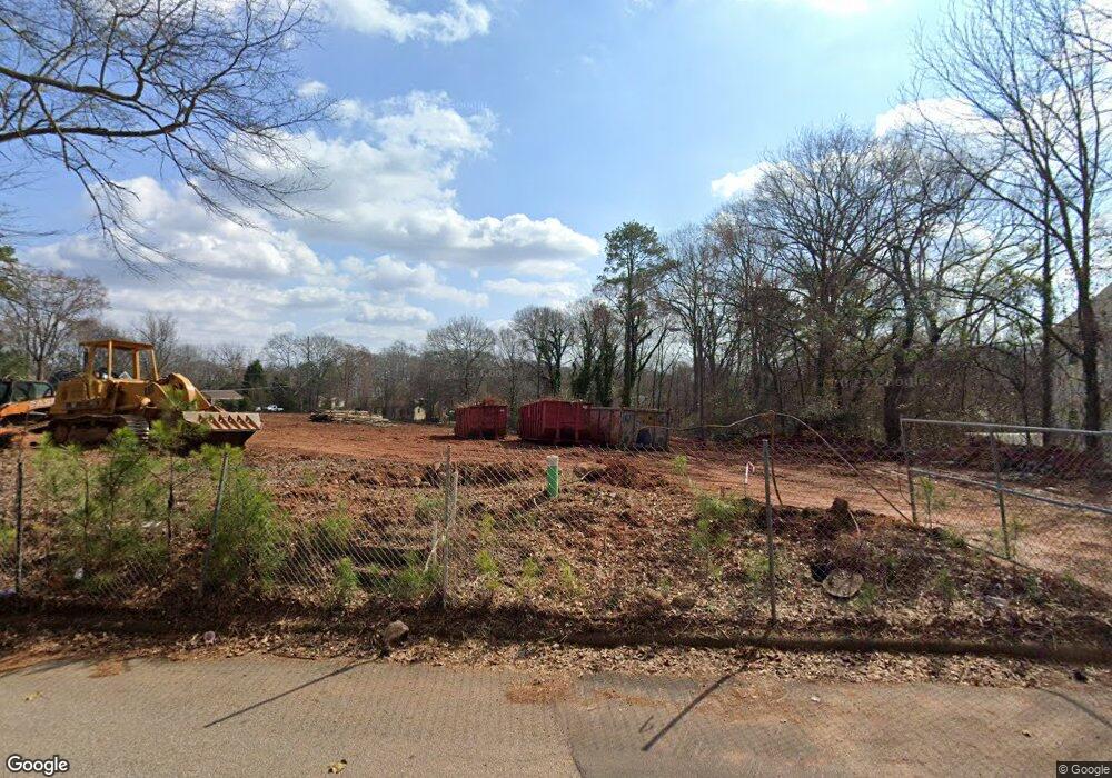
460 Fourth St Athens, GA 30601
North Avenue NeighborhoodEstimated Value: $56,000 - $375,000
--
Bed
1
Bath
1,048
Sq Ft
$167/Sq Ft
Est. Value
About This Home
This home is located at 460 Fourth St, Athens, GA 30601 and is currently estimated at $174,667, approximately $166 per square foot. 460 Fourth St is a home located in Clarke County with nearby schools including Howard B. Stroud Elementary School, Coile Middle School, and Cedar Shoals High School.
Ownership History
Date
Name
Owned For
Owner Type
Purchase Details
Closed on
Dec 15, 2022
Sold by
Spring Valley Holdings Llc
Bought by
460 Fourth Street Llc
Current Estimated Value
Purchase Details
Closed on
Nov 15, 2022
Sold by
Spring Valley Holdings Llc
Bought by
Broadnax & Broadnax Holdings Llc
Purchase Details
Closed on
Jan 14, 2020
Sold by
Brown Joe Henry
Bought by
Spring Valley Holdings Llc
Purchase Details
Closed on
Aug 17, 1990
Sold by
Brown Ethel M
Bought by
Evans Moena
Create a Home Valuation Report for This Property
The Home Valuation Report is an in-depth analysis detailing your home's value as well as a comparison with similar homes in the area
Home Values in the Area
Average Home Value in this Area
Purchase History
| Date | Buyer | Sale Price | Title Company |
|---|---|---|---|
| 460 Fourth Street Llc | -- | -- | |
| Broadnax & Broadnax Holdings Llc | -- | -- | |
| Spring Valley Holdings Llc | -- | -- | |
| Evans Moena | -- | -- |
Source: Public Records
Tax History Compared to Growth
Tax History
| Year | Tax Paid | Tax Assessment Tax Assessment Total Assessment is a certain percentage of the fair market value that is determined by local assessors to be the total taxable value of land and additions on the property. | Land | Improvement |
|---|---|---|---|---|
| 2025 | $1,049 | $33,800 | $33,800 | $0 |
| 2024 | $1,049 | $33,800 | $33,800 | $0 |
| 2023 | $1,056 | $30,510 | $30,510 | $0 |
| 2022 | $787 | $24,679 | $24,679 | $0 |
| 2021 | $832 | $24,679 | $24,679 | $0 |
| 2020 | $865 | $25,679 | $24,679 | $1,000 |
| 2019 | $930 | $27,385 | $23,163 | $4,222 |
| 2018 | $925 | $27,255 | $23,163 | $4,092 |
| 2017 | $917 | $27,020 | $23,163 | $3,857 |
| 2016 | $917 | $27,019 | $23,162 | $3,856 |
| 2015 | $919 | $27,019 | $23,162 | $3,856 |
| 2014 | $920 | $27,020 | $23,163 | $3,857 |
Source: Public Records
Map
Nearby Homes
- 560 Rosa Nell Howard St
- 320 First St
- 318 First St
- 185 First St
- 239 Madison Heights
- 211 North Ave Unit 1333
- 178 First St
- 118 Ruth Dr Unit 130
- 118 Ruth Dr Unit 140
- 118 Ruth Dr Unit 310
- 118 Ruth Dr Unit 610
- 464 Ruth St
- 455 Ruth St
- 175 Northcrest Dr
- 239 Ruth St Unit 15
- 136 Bridgewater Cir
- 132 N Poplar St
- 440 Fourth St
- 406 Fourth St
- 420 Fourth St
- 498 Fourth St
- 483 First St
- 479 First St
- 475 First St
- 270 Strickland Ave Unit 10A
- 270 Strickland Ave Unit A-6
- 270 Strickland Ave Unit A-4
- 270 Strickland Ave Unit 7B
- 270 Strickland Ave Unit 8A
- 270 Strickland Ave Unit 3A
- 270 Strickland Ave Unit A-8
- 270 Strickland Ave Unit 1B
- 270 Strickland Ave Unit B-9
- 270 Strickland Ave Unit B-5
- 270 Strickland Ave Unit 9A
- 270 Strickland Ave Unit 9B
- 270 Strickland Ave Unit 5A