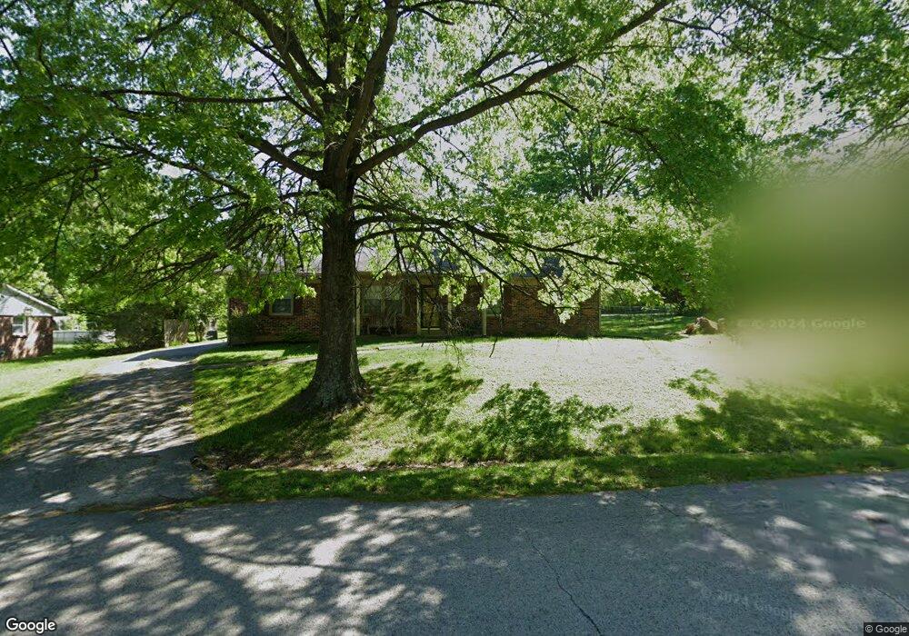
460 Michael Blvd Frankfort, KY 40601
Estimated Value: $225,422 - $328,000
3
Beds
2
Baths
1,613
Sq Ft
$175/Sq Ft
Est. Value
About This Home
This home is located at 460 Michael Blvd, Frankfort, KY 40601 and is currently estimated at $281,856, approximately $174 per square foot. 460 Michael Blvd is a home located in Franklin County with nearby schools including Bridgeport Elementary School, Bondurant Middle School, and Western Hills High School.
Ownership History
Date
Name
Owned For
Owner Type
Purchase Details
Closed on
Oct 22, 2010
Sold by
Peach Ray and Peach Beverly C
Bought by
Lloyd William
Current Estimated Value
Home Financials for this Owner
Home Financials are based on the most recent Mortgage that was taken out on this home.
Original Mortgage
$124,818
Outstanding Balance
$82,993
Interest Rate
4.5%
Mortgage Type
FHA
Estimated Equity
$198,863
Create a Home Valuation Report for This Property
The Home Valuation Report is an in-depth analysis detailing your home's value as well as a comparison with similar homes in the area
Home Values in the Area
Average Home Value in this Area
Purchase History
| Date | Buyer | Sale Price | Title Company |
|---|---|---|---|
| Lloyd William | $126,500 | None Available |
Source: Public Records
Mortgage History
| Date | Status | Borrower | Loan Amount |
|---|---|---|---|
| Open | Lloyd William | $124,818 |
Source: Public Records
Tax History Compared to Growth
Tax History
| Year | Tax Paid | Tax Assessment Tax Assessment Total Assessment is a certain percentage of the fair market value that is determined by local assessors to be the total taxable value of land and additions on the property. | Land | Improvement |
|---|---|---|---|---|
| 2024 | $1,690 | $140,000 | $0 | $0 |
| 2023 | $1,673 | $140,000 | $0 | $0 |
| 2022 | $1,658 | $140,000 | $0 | $0 |
| 2021 | $1,644 | $140,000 | $0 | $0 |
| 2020 | $1,659 | $140,000 | $22,000 | $118,000 |
| 2019 | $1,531 | $126,500 | $22,000 | $104,500 |
| 2018 | $1,527 | $126,500 | $22,000 | $104,500 |
| 2017 | -- | $126,500 | $22,000 | $104,500 |
| 2016 | $1,443 | $126,500 | $22,000 | $104,500 |
| 2015 | $1,262 | $126,500 | $22,000 | $104,500 |
| 2011 | $1,262 | $126,500 | $22,000 | $104,500 |
Source: Public Records
Map
Nearby Homes
- 2400 Evergreen Rd
- 209 Brookfield Dr
- 113 Hillway Ln
- 208 Creekside Ln
- 118 Edgewood Dr
- 200 Adams Ln Unit 9
- 106 Coolbrook Dr
- 116 Wellington Ln
- 46 Meadowbrook Dr
- 312 Sandstone Dr
- 00 Cherry Ln
- 1725 Veterans Unit LOT 30
- 245 Cherry Ln
- 215 Cherry Ln
- 1902 Nostalgic Place
- 1703 Veterans Ave Unit LOT 38
- 1711 Veterans Ave Unit LOT 37
- 1713 Veterans Ave Unit LOT 36
- 1715 Veterans Ave Unit LOT 35
- 1723 Veterans Ave Unit LOT 31
- 478 Michael Blvd
- 450 Michael Blvd
- 496 Michael Blvd
- 443 Michael Blvd
- 483 Schofield Ln
- 440 Michael Blvd
- 31 Roscoe Ct
- 519 Schofield Ln
- 48 Roscoe Ct
- 417 Michael Blvd
- 51 Roscoe Ct
- 515 Michael Blvd
- 575 Schofield Ln
- 540 Michael Blvd
- 540 Michael Blvd
- 353 Michael Blvd
- 89 Roscoe Ct
- 62 Roscoe Ct
- 533 Michael Blvd
- 331 Michael Blvd