460 Parsons Rd Woodruff, SC 29388
Estimated Value: $385,000 - $1,426,821
3
Beds
2
Baths
2,128
Sq Ft
$426/Sq Ft
Est. Value
About This Home
This home is located at 460 Parsons Rd, Woodruff, SC 29388 and is currently estimated at $905,911, approximately $425 per square foot. 460 Parsons Rd is a home with nearby schools including Woodruff Primary School, Woodruff Elementary School, and Woodruff Middle School.
Ownership History
Date
Name
Owned For
Owner Type
Purchase Details
Closed on
Dec 30, 2013
Sold by
Theo Tracy V and Theo Ricky J
Bought by
Rth Investments Llc
Current Estimated Value
Purchase Details
Closed on
Apr 19, 2013
Sold by
Theo Tracy V
Bought by
Theo Tracy and Theo Ricky J
Purchase Details
Closed on
Apr 18, 2013
Sold by
Theo Tracy V
Bought by
Theo Tracy and Theo Ricky J
Purchase Details
Closed on
Apr 6, 2006
Sold by
Theo Dorothy P and Theo Tracy V
Bought by
Theo Dorothy P and Theo Tracy
Purchase Details
Closed on
Jun 4, 2002
Sold by
Theo W J
Bought by
Theo Dorothy P
Create a Home Valuation Report for This Property
The Home Valuation Report is an in-depth analysis detailing your home's value as well as a comparison with similar homes in the area
Home Values in the Area
Average Home Value in this Area
Purchase History
| Date | Buyer | Sale Price | Title Company |
|---|---|---|---|
| Rth Investments Llc | -- | -- | |
| Theo Tracy | -- | -- | |
| Theo Tracy | -- | -- | |
| Theo Dorothy P | -- | None Available | |
| Theo Dorothy P | -- | -- |
Source: Public Records
Tax History Compared to Growth
Tax History
| Year | Tax Paid | Tax Assessment Tax Assessment Total Assessment is a certain percentage of the fair market value that is determined by local assessors to be the total taxable value of land and additions on the property. | Land | Improvement |
|---|---|---|---|---|
| 2025 | $1,323 | $9,137 | $906 | $8,231 |
| 2024 | $1,323 | $9,137 | $906 | $8,231 |
| 2023 | $1,323 | $9,137 | $906 | $8,231 |
| 2022 | $1,038 | $8,015 | $847 | $7,168 |
| 2021 | $1,304 | $9,735 | $847 | $8,888 |
| 2020 | $974 | $8,055 | $847 | $7,208 |
| 2019 | $985 | $8,079 | $871 | $7,208 |
| 2018 | $910 | $8,094 | $873 | $7,221 |
| 2017 | $372 | $1,067 | $1,027 | $40 |
| 2016 | $384 | $1,097 | $1,027 | $70 |
| 2015 | $1,449 | $39,354 | $36,576 | $2,778 |
| 2014 | $1,408 | $3,915 | $1,143 | $2,772 |
Source: Public Records
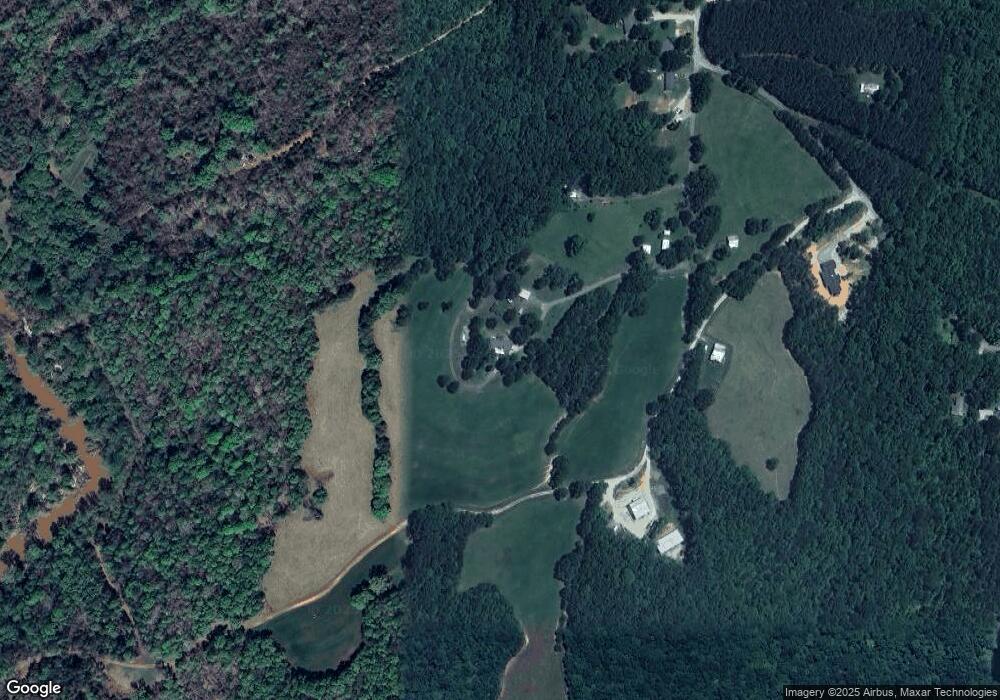
Map
Nearby Homes
- 25 State Road S-42-2983
- 17 State Road S-42-2983
- 0 Parsons Rd
- 205 Ledo Ln
- 453 Lee's Corner Rd
- 455 Lee's Corner Rd
- 455 Lee's Corner Ln Unit NPG 165 Abbey B
- 451 Lee's Corner Rd
- 447 Lee's Corner Rd
- 445 Lee's Corner Rd
- 453 Lees Corner Ln Unit NPG 166 Abbey A
- 451 Lees Corner Ln Unit NPG 167 Carlton A1E
- 443 Lee's Corner Rd
- 447 Lees Corner Ln Unit NPG 168 Carlton A1E
- 445 Lees Corner Ln Unit NPG 169 Abbey B
- 443 Lees Corner Ln Unit NPG 170 Abbey A
- 416 Lees Corner Ln
- 416 Lees Corner Ln Unit NPW 106 Crestwind C
- 423 Lees Corner Ln
- 423 Lees Corner Ln Unit NPW 99 Sweetbay B
- 470 Parsons Rd
- 150 Parsons Rd
- 150 Melita Dr
- 110 Melita Dr
- 354 Parsons Rd
- 435 Parsons Rd
- 338 Parsons Rd
- 317 Parsons Rd
- 328 Parsons Rd
- 318 Parsons Rd
- 490 Parsons Rd
- 263 Parsons Rd
- 283 Parsons Rd
- 510 Parsons Rd
- 253 Parsons Rd
- 130 Lonely Woods Ln
- 140 Lonely Woods Ln
- 243 Parsons Rd
- 150 Lonely Woods Ln
- 260 Parsons Rd