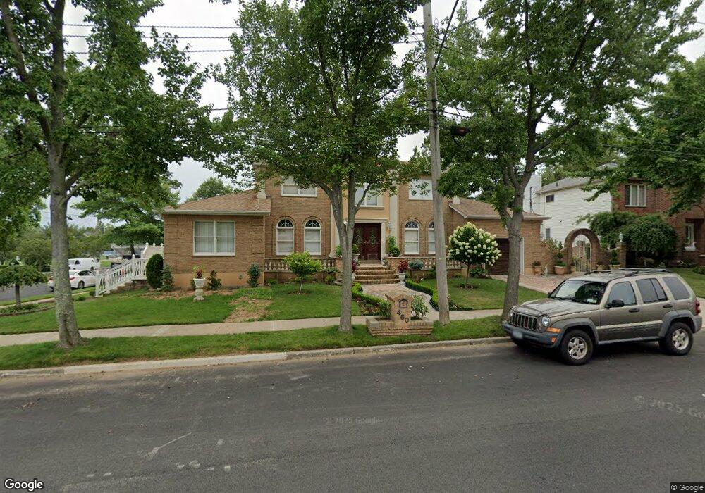
460 Philip Ave Staten Island, NY 10312
Huguenot NeighborhoodEstimated Value: $1,390,000 - $1,532,000
4
Beds
4
Baths
4,000
Sq Ft
$364/Sq Ft
Est. Value
About This Home
This home is located at 460 Philip Ave, Staten Island, NY 10312 and is currently estimated at $1,454,618, approximately $363 per square foot. 460 Philip Ave is a home located in Richmond County with nearby schools including P.S. 5 - Huguenot, I.S. 007 Elias Bernstein, and Tottenville High School.
Ownership History
Date
Name
Owned For
Owner Type
Purchase Details
Closed on
Aug 26, 2025
Sold by
Crispi Natalina
Bought by
Zephyr Estates Llc
Current Estimated Value
Purchase Details
Closed on
Oct 6, 2022
Sold by
Rodolfo And Maria Seddio Family Irrevoca
Bought by
Seddio Rodolfo and Seddio Bridget
Home Financials for this Owner
Home Financials are based on the most recent Mortgage that was taken out on this home.
Original Mortgage
$300,000
Interest Rate
5.66%
Mortgage Type
New Conventional
Purchase Details
Closed on
Sep 19, 2014
Sold by
Seddio Rodolfo and Seddio Maria
Bought by
Molinaro Leandra and Rodolfo & Maria Seddio Family
Create a Home Valuation Report for This Property
The Home Valuation Report is an in-depth analysis detailing your home's value as well as a comparison with similar homes in the area
Home Values in the Area
Average Home Value in this Area
Purchase History
| Date | Buyer | Sale Price | Title Company |
|---|---|---|---|
| Zephyr Estates Llc | -- | None Listed On Document | |
| Seddio Rodolfo | $300,000 | -- | |
| Molinaro Leandra | -- | None Available |
Source: Public Records
Mortgage History
| Date | Status | Borrower | Loan Amount |
|---|---|---|---|
| Previous Owner | Seddio Rodolfo | $300,000 |
Source: Public Records
Tax History Compared to Growth
Tax History
| Year | Tax Paid | Tax Assessment Tax Assessment Total Assessment is a certain percentage of the fair market value that is determined by local assessors to be the total taxable value of land and additions on the property. | Land | Improvement |
|---|---|---|---|---|
| 2025 | $13,605 | $83,580 | $16,825 | $66,755 |
| 2024 | $13,605 | $78,300 | $17,129 | $61,171 |
| 2023 | $13,757 | $67,738 | $17,629 | $50,109 |
| 2022 | $5,780 | $76,740 | $19,800 | $56,940 |
| 2021 | $5,890 | $67,320 | $19,800 | $47,520 |
| 2020 | $5,605 | $65,640 | $19,800 | $45,840 |
| 2019 | $5,258 | $57,060 | $19,800 | $37,260 |
| 2018 | $5,094 | $56,448 | $17,673 | $38,775 |
| 2017 | $4,825 | $53,760 | $19,800 | $33,960 |
| 2016 | $10,141 | $52,279 | $16,368 | $35,911 |
| 2015 | $8,418 | $49,320 | $16,500 | $32,820 |
| 2014 | $8,418 | $47,040 | $16,500 | $30,540 |
Source: Public Records
Map
Nearby Homes
- 393 Philip Ave
- 350 Poillon Ave
- 389 Philip Ave
- 383 Philip Ave
- 344 Poillon Ave
- 5 Nicolosi Dr
- 59 Newton St
- 84 Discala Ln
- 16 Nicolosi Loop
- 52 Nicolosi Loop
- 314 Bertram Ave
- 311 Bertram Ave
- 304 Bertram Ave
- 381 Arbutus Ave
- 115 Jansen St
- 21 Allen Place
- 161 Boardwalk Ave
- 140 Nicolosi Dr
- 155 Nicolosi Dr
- 262 Noel St
- 452 Philip Ave
- 241 Kenwood Ave
- 435 Bertram Ave
- 437 Bertram Ave
- 0 Kenwood Ave
- 219 Kenwood Ave
- 446 Philip Ave
- 474 Philip Ave
- 451 Philip Ave
- 429 Bertram Ave
- 478 Philip Ave
- 211 Kenwood Ave
- 445 Philip Ave
- 244 Kenwood Ave
- 480 Philip Ave
- 440 Philip Ave
- 477 Philip Ave
- 404 Poillon Ave
- 439 Philip Ave
- 412 Poillon Ave