Estimated Value: $407,000 - $444,000
2
Beds
2
Baths
1,763
Sq Ft
$239/Sq Ft
Est. Value
About This Home
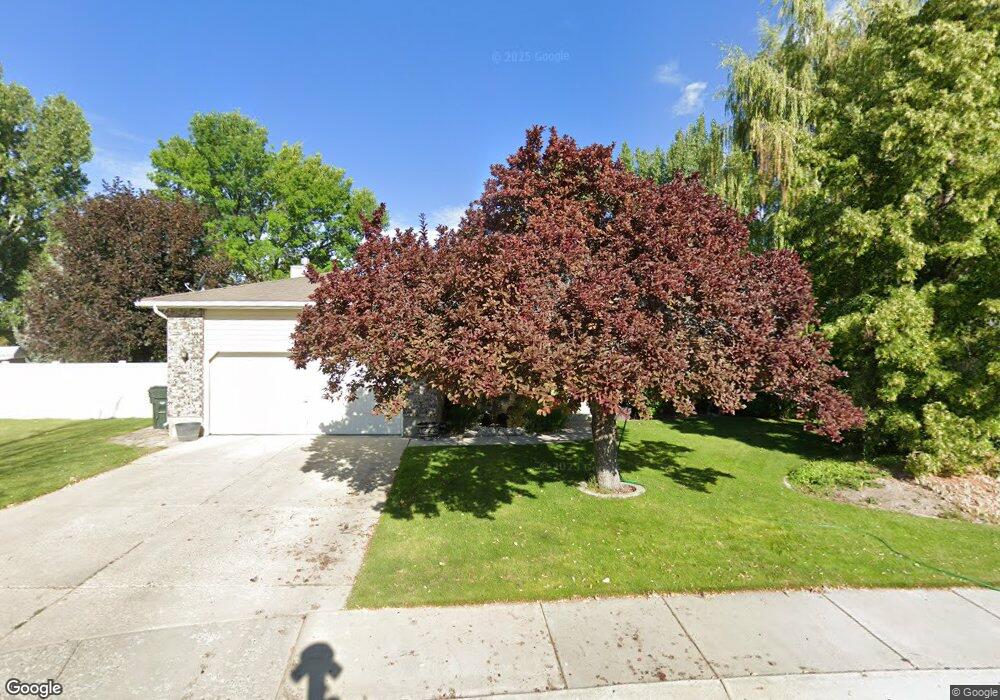
This home is located at 460 Quail Cir, Elko, NV 89801 and is currently estimated at $421,480, approximately $239 per square foot. 460 Quail Cir is a home located in Elko County with nearby schools including Mountain View Elementary School, Adobe Middle School, and Flagview Intermediate School.
Ownership History
Date
Name
Owned For
Owner Type
Purchase Details
Closed on
Jun 13, 2013
Sold by
Vance Daniel Wayne and Kevan Candace Lynn Diane
Bought by
Vance Daniel W and Kevan Candace L
Current Estimated Value
Home Financials for this Owner
Home Financials are based on the most recent Mortgage that was taken out on this home.
Original Mortgage
$234,100
Interest Rate
3.09%
Mortgage Type
New Conventional
Purchase Details
Closed on
May 31, 2007
Sold by
Vance Daniel Wayne and Kevan Candace Lynn Diane
Bought by
Vance Daniel Wayne and Kevan Candace Lynn Diane
Create a Home Valuation Report for This Property
The Home Valuation Report is an in-depth analysis detailing your home's value as well as a comparison with similar homes in the area
Purchase History
| Date | Buyer | Sale Price | Title Company |
|---|---|---|---|
| Vance Daniel W | -- | Stewart Title | |
| Vance Daniel Wayne | -- | None Available |
Source: Public Records
Mortgage History
| Date | Status | Borrower | Loan Amount |
|---|---|---|---|
| Closed | Vance Daniel W | $234,100 |
Source: Public Records
Tax History
| Year | Tax Paid | Tax Assessment Tax Assessment Total Assessment is a certain percentage of the fair market value that is determined by local assessors to be the total taxable value of land and additions on the property. | Land | Improvement |
|---|---|---|---|---|
| 2025 | $2,774 | $89,706 | $22,400 | $67,306 |
| 2024 | $2,774 | $84,392 | $15,750 | $68,642 |
| 2023 | $2,530 | $80,438 | $15,750 | $64,688 |
| 2022 | $2,456 | $71,015 | $15,750 | $55,265 |
| 2021 | $2,385 | $69,823 | $15,750 | $54,073 |
| 2020 | $2,314 | $67,218 | $12,250 | $54,968 |
| 2019 | $2,232 | $64,066 | $12,250 | $51,816 |
| 2018 | $2,246 | $64,468 | $12,250 | $52,218 |
| 2017 | $2,222 | $63,781 | $12,250 | $51,531 |
| 2016 | $2,253 | $64,113 | $12,250 | $51,863 |
| 2015 | $2,231 | $62,974 | $12,250 | $50,724 |
| 2014 | $2,167 | $60,699 | $12,250 | $48,449 |
Source: Public Records
Map
Nearby Homes
- 456 Quail Cir
- 464 Quail Cir
- 105 Sandstone Ct
- 109 Sandstone Ct
- 113 Sandstone Ct
- 457 Quail Cir
- 468 Quail Cir
- 101 Sandstone Ct
- 3538 Desert Plains Ave
- 3534 Desert Plains Ave
- 3530 Desert Plains Ave
- 108 Sandstone Ct
- 104 Sandstone Ct
- 100 Sandstone Ct
- 3526 Desert Plains Ave
- 3550 Desert Plains Ave
- 3522 Desert Plains Ave
- 3554 Desert Plains Ave
- 103 Rolling Hills Dr
- 107 Rolling Hills Dr
Your Personal Tour Guide
Ask me questions while you tour the home.