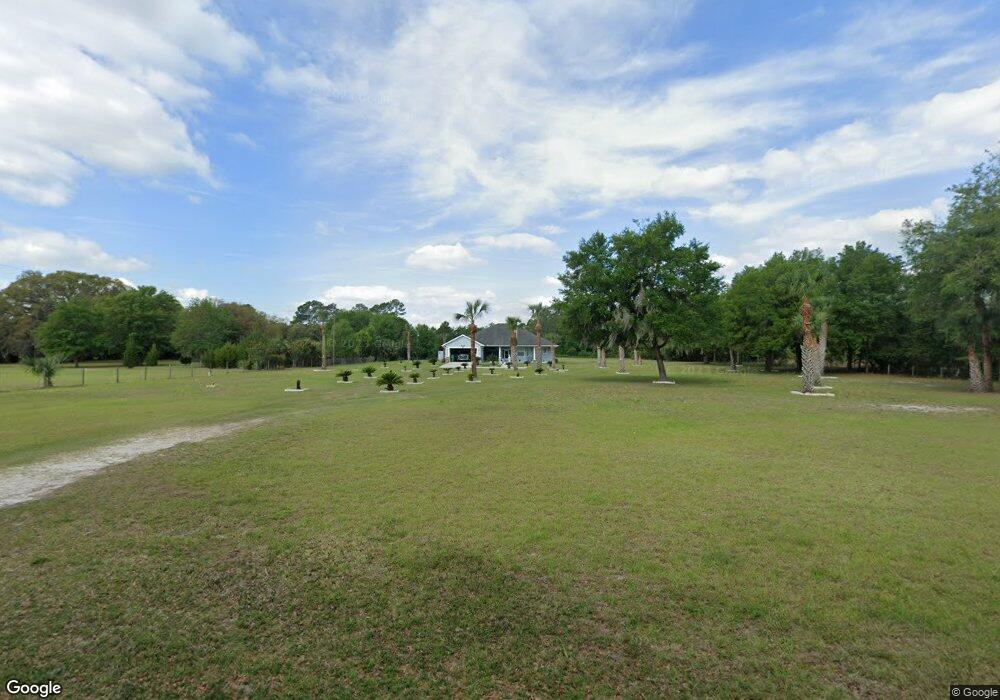
460 Roberts Rd Pierson, FL 32180
Estimated Value: $420,000 - $733,000
3
Beds
3
Baths
4,115
Sq Ft
$136/Sq Ft
Est. Value
About This Home
This home is located at 460 Roberts Rd, Pierson, FL 32180 and is currently estimated at $559,838, approximately $136 per square foot. 460 Roberts Rd is a home located in Volusia County with nearby schools including Pierson Elementary School and T. Dewitt Taylor Middle/High School.
Ownership History
Date
Name
Owned For
Owner Type
Purchase Details
Closed on
Dec 15, 2003
Sold by
Greenlund Donna L
Bought by
Sicotakis Linda G
Current Estimated Value
Home Financials for this Owner
Home Financials are based on the most recent Mortgage that was taken out on this home.
Original Mortgage
$43,920
Outstanding Balance
$19,995
Interest Rate
5.97%
Mortgage Type
Purchase Money Mortgage
Estimated Equity
$539,843
Purchase Details
Closed on
Jun 15, 1989
Bought by
Ratley Sarah L Tr
Purchase Details
Closed on
Dec 15, 1985
Bought by
Ratley Sarah L Tr
Create a Home Valuation Report for This Property
The Home Valuation Report is an in-depth analysis detailing your home's value as well as a comparison with similar homes in the area
Home Values in the Area
Average Home Value in this Area
Purchase History
| Date | Buyer | Sale Price | Title Company |
|---|---|---|---|
| Sicotakis Linda G | $54,900 | -- | |
| Ratley Sarah L Tr | $100 | -- | |
| Ratley Sarah L Tr | $21,000 | -- |
Source: Public Records
Mortgage History
| Date | Status | Borrower | Loan Amount |
|---|---|---|---|
| Open | Sicotakis Linda G | $43,920 |
Source: Public Records
Tax History
| Year | Tax Paid | Tax Assessment Tax Assessment Total Assessment is a certain percentage of the fair market value that is determined by local assessors to be the total taxable value of land and additions on the property. | Land | Improvement |
|---|---|---|---|---|
| 2026 | -- | $227,458 | -- | -- |
| 2025 | -- | $221,479 | -- | -- |
| 2024 | -- | $215,238 | -- | -- |
| 2023 | -- | $208,969 | $0 | $0 |
| 2022 | $0 | $202,883 | $0 | $0 |
| 2021 | $0 | $196,974 | $0 | $0 |
| 2020 | $0 | $194,254 | $0 | $0 |
| 2019 | $0 | $189,887 | $0 | $0 |
| 2018 | $0 | $186,346 | $0 | $0 |
| 2017 | $0 | $182,513 | $0 | $0 |
| 2016 | -- | $178,759 | $0 | $0 |
| 2015 | -- | $177,516 | $0 | $0 |
| 2014 | -- | $176,107 | $0 | $0 |
Source: Public Records
Map
Nearby Homes
- 420 Roberts Rd
- 0 Roberts Rd Unit MFRFC313689
- 0 Roberts Rd Unit 1219309
- 1640 Shell Harbor Rd
- 804 Shell Harbor Rd
- 161 W 2nd Ave
- 103 E 2nd Ave
- 589 S Volusia Ave
- 0 Us-17 & 1st St E
- 177 E 3rd Ave
- 180 E 3rd Ave
- 163 E Orange Ave
- 195 N Frederick St
- 642 Glenhaven Ave
- 0 Shell Harbor Rd Unit 1210182
- 0 Shell Harbor Rd Unit 1208025
- 432 W Palmetto Ave
- 153 Old Bubbly Rd
- 0 Peterson Rd
- 850 Menton Rd
- 454 Roberts Rd
- 445 Roberts Rd
- 455 Roberts Rd
- 549 Vannote Rd
- 545 Vannote Rd
- 485 Roberts Rd
- 0 Roberts Rd Unit V4904680
- 425 Roberts Rd
- 475 Vannote Rd
- 570 Vannote Rd
- 465 Roberts Rd
- 396 Vannote Rd
- 672 Vannote Rd
- 510 Vannote Rd
- 353 Vannote Rd
- 540 Vannote Rd
- 678 Vannote Rd
- 449 Roberts Rd
- 346 Vannote Rd
- 345 Vannote Rd
Your Personal Tour Guide
Ask me questions while you tour the home.