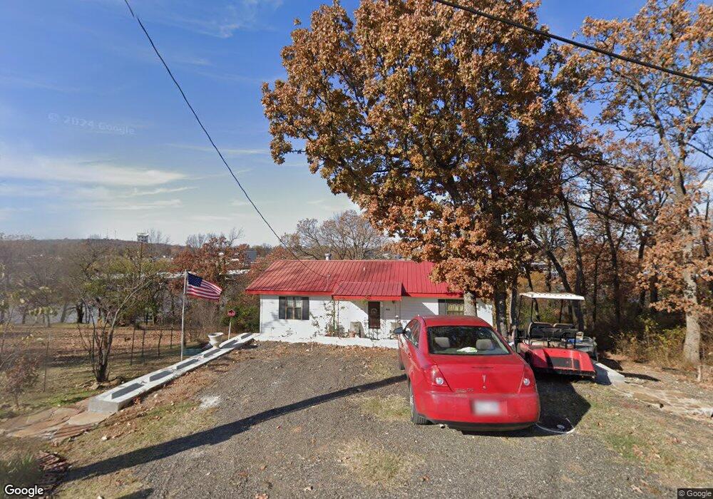
460 Sequoyah Dr Eufaula, OK 74432
Estimated Value: $165,340 - $283,000
2
Beds
1
Bath
912
Sq Ft
$225/Sq Ft
Est. Value
About This Home
This home is located at 460 Sequoyah Dr, Eufaula, OK 74432 and is currently estimated at $205,585, approximately $225 per square foot. 460 Sequoyah Dr is a home with nearby schools including Eufaula Elementary School, Eufaula Middle School, and Eufaula High School.
Ownership History
Date
Name
Owned For
Owner Type
Purchase Details
Closed on
Feb 25, 2010
Sold by
Thompson Phillip R and Thompson Cy
Bought by
Burns Todd D and Burns Mary Jan
Current Estimated Value
Home Financials for this Owner
Home Financials are based on the most recent Mortgage that was taken out on this home.
Original Mortgage
$123,600
Outstanding Balance
$81,884
Interest Rate
5.05%
Mortgage Type
New Conventional
Estimated Equity
$123,701
Purchase Details
Closed on
Jul 18, 2003
Sold by
Mcentire
Bought by
Thompson
Create a Home Valuation Report for This Property
The Home Valuation Report is an in-depth analysis detailing your home's value as well as a comparison with similar homes in the area
Home Values in the Area
Average Home Value in this Area
Purchase History
| Date | Buyer | Sale Price | Title Company |
|---|---|---|---|
| Burns Todd D | $154,500 | -- | |
| Burns Mary Jane M | -- | None Available | |
| Thompson | $56,000 | -- |
Source: Public Records
Mortgage History
| Date | Status | Borrower | Loan Amount |
|---|---|---|---|
| Open | Burns Mary Jane M | $123,600 |
Source: Public Records
Tax History
| Year | Tax Paid | Tax Assessment Tax Assessment Total Assessment is a certain percentage of the fair market value that is determined by local assessors to be the total taxable value of land and additions on the property. | Land | Improvement |
|---|---|---|---|---|
| 2025 | $1,570 | $17,935 | $11,231 | $6,704 |
| 2024 | $1,492 | $17,936 | $11,345 | $6,591 |
| 2023 | $1,492 | $16,032 | $9,900 | $6,132 |
| 2022 | $1,312 | $15,824 | $9,900 | $5,924 |
| 2021 | $1,265 | $15,070 | $9,900 | $5,170 |
| 2020 | $1,265 | $15,070 | $9,900 | $5,170 |
| 2019 | $1,397 | $16,840 | $9,900 | $6,940 |
| 2018 | $1,308 | $16,494 | $9,694 | $6,800 |
| 2017 | $1,246 | $14,960 | $8,659 | $6,301 |
| 2016 | $1,193 | $14,248 | $7,879 | $6,369 |
| 2015 | $1,121 | $13,570 | $6,600 | $6,970 |
| 2014 | $1,113 | $13,570 | $6,600 | $6,970 |
Source: Public Records
Map
Nearby Homes
- 4 E 1200
- 6 E 1200
- 8 E 1200
- 0 Quapaw St Unit 2540983
- 0 Choctaw Dr Unit 2514518
- 0 Choctaw Dr Unit 2515676
- 0 Choctaw Dr Unit 2515656
- 0000 Choctaw Dr
- 7018 Lakeshore Dr Unit 18
- 701 Lakeshore Dr
- 305 J C Watts Junior Ave
- 420448 E 1175 Rd
- 500 Belt St
- 109 S E St
- 114 Belt Ave
- 111 S Main St
- 101 S Main St
- 120347 S 4186 Rd
- 0 Comanche Dr Unit 1165777
- 0 Comanche Dr Unit 26163306
- 15894 County Road 3540
- 428 Sequoyah Dr
- 491 Sequoyah Dr
- 496 Sequoyah Dr
- 477 Sequoyah Dr
- 558 Sequoyah Dr
- 249 Rr 5
- 552 Mohawk Dr
- 647 Cherokee Dr
- 0 E Corner of Mohawk Drive and Sequoyah Dr Unit 948967
- 530 Sequoyah Dr
- 721 Mohawk Dr
- 685 Cherokee Dr
- 564 Mohawk Dr
- 504 Mohawk Dr
- 544 Sequoyah Dr
- 544 Sequoyah Dr
- 583 Mohawk Dr
- 000 Cherokee Dr
- 664 Cherokee Dr