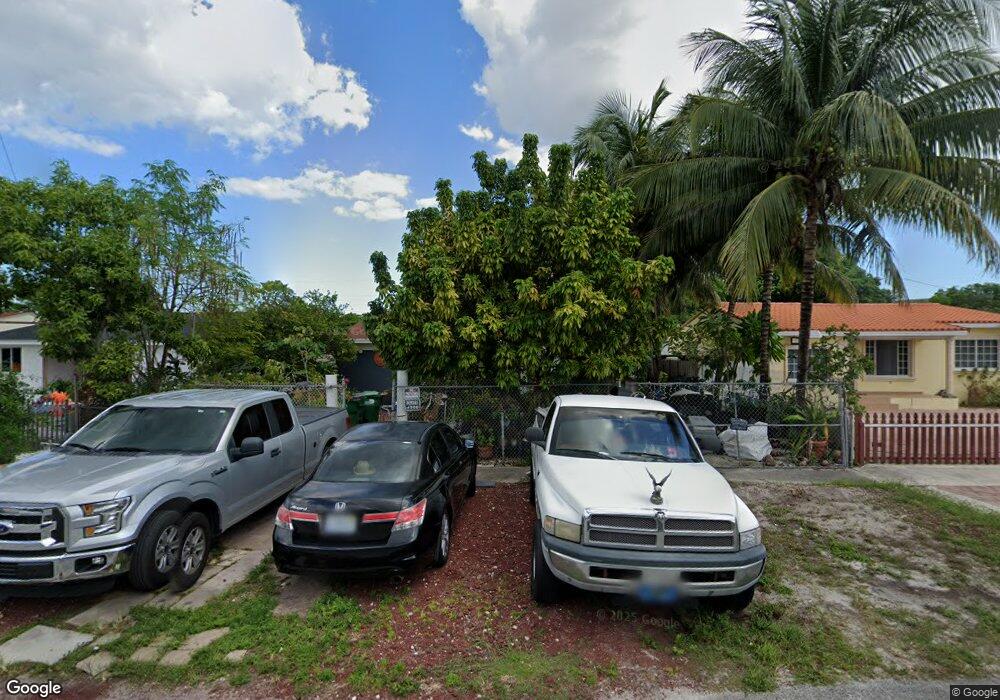
460 Sesame St Opa Locka, FL 33054
Estimated Value: $455,981 - $524,000
2
Beds
1
Bath
1,745
Sq Ft
$281/Sq Ft
Est. Value
About This Home
This home is located at 460 Sesame St, Opa Locka, FL 33054 and is currently estimated at $490,745, approximately $281 per square foot. 460 Sesame St is a home located in Miami-Dade County with nearby schools including Dr. Robert B. Ingram/Opa-Locka Elementary School, North Dade Middle School, and Hialeah-Miami Lakes Senior High School.
Ownership History
Date
Name
Owned For
Owner Type
Purchase Details
Closed on
Jun 26, 2002
Sold by
Franklin Finl Inv Group Inc C
Bought by
Rivero William A and Rivero Sonia I
Current Estimated Value
Purchase Details
Closed on
May 18, 2001
Sold by
Financial Household I
Bought by
Franklin Financial Inv Group
Purchase Details
Closed on
Dec 17, 1997
Sold by
Taylor Robert
Bought by
Sallion Umilta E
Home Financials for this Owner
Home Financials are based on the most recent Mortgage that was taken out on this home.
Original Mortgage
$47,250
Interest Rate
7.26%
Mortgage Type
Balloon
Create a Home Valuation Report for This Property
The Home Valuation Report is an in-depth analysis detailing your home's value as well as a comparison with similar homes in the area
Home Values in the Area
Average Home Value in this Area
Purchase History
| Date | Buyer | Sale Price | Title Company |
|---|---|---|---|
| Rivero William A | $92,000 | -- | |
| Franklin Financial Inv Group | $64,000 | -- | |
| Sallion Umilta E | $63,000 | -- |
Source: Public Records
Mortgage History
| Date | Status | Borrower | Loan Amount |
|---|---|---|---|
| Previous Owner | Sallion Umilta E | $47,250 |
Source: Public Records
Tax History Compared to Growth
Tax History
| Year | Tax Paid | Tax Assessment Tax Assessment Total Assessment is a certain percentage of the fair market value that is determined by local assessors to be the total taxable value of land and additions on the property. | Land | Improvement |
|---|---|---|---|---|
| 2025 | $4,757 | $111,753 | -- | -- |
| 2024 | $4,549 | $108,604 | -- | -- |
| 2023 | $4,549 | $105,441 | $0 | $0 |
| 2022 | $4,422 | $102,370 | $0 | $0 |
| 2021 | $4,377 | $99,389 | $0 | $0 |
| 2020 | $4,282 | $98,017 | $0 | $0 |
| 2019 | $1,847 | $95,814 | $0 | $0 |
| 2018 | $1,751 | $94,028 | $0 | $0 |
| 2017 | $1,245 | $72,093 | $0 | $0 |
| 2016 | $1,408 | $70,611 | $0 | $0 |
| 2015 | $1,358 | $70,121 | $0 | $0 |
| 2014 | $1,329 | $69,565 | $0 | $0 |
Source: Public Records
Map
Nearby Homes
- 341 Aladdin St
- 945 Sharazad Blvd
- 535 Harem Ave
- 641 Burlington St
- 724 Burlington St
- 719 Harem Ave
- 91 Bahman Ave
- Sharar Ave Sharar Ave
- 805 Sultan Ave
- 730 Curtiss Dr
- 1246 Sharazad Blvd
- 1240 Sesame St
- 205 Seaman Ave
- 1231 Dunad Ave
- 940 Oriental Blvd
- 1025 Curtiss Dr
- 1130 Rutland St
- 13380 NW 32nd Ave
- 13425 NW 31st Ave
- 3040 NW 135th St