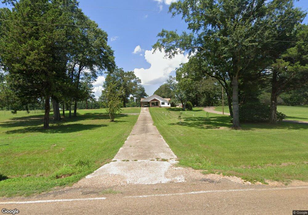
460 State Line Rd Taylor, AR 71861
Estimated Value: $116,000 - $172,590
--
Bed
1
Bath
1,640
Sq Ft
$88/Sq Ft
Est. Value
About This Home
This home is located at 460 State Line Rd, Taylor, AR 71861 and is currently estimated at $143,898, approximately $87 per square foot. 460 State Line Rd is a home located in Columbia County with nearby schools including Taylor Elementary School and Taylor High School.
Ownership History
Date
Name
Owned For
Owner Type
Purchase Details
Closed on
Jan 22, 2020
Sold by
Dodson Haynes Thomas and Dodson Lindsey Helms
Bought by
Bolinger Aaron
Current Estimated Value
Purchase Details
Closed on
Feb 5, 2019
Sold by
Campbell Tracy Lynn and Campbell Jennifer Driver
Bought by
Helms Dodson Haynes Thomas and Helms Dodson Lindsey
Home Financials for this Owner
Home Financials are based on the most recent Mortgage that was taken out on this home.
Original Mortgage
$87,057
Interest Rate
4.4%
Mortgage Type
New Conventional
Create a Home Valuation Report for This Property
The Home Valuation Report is an in-depth analysis detailing your home's value as well as a comparison with similar homes in the area
Home Values in the Area
Average Home Value in this Area
Purchase History
| Date | Buyer | Sale Price | Title Company |
|---|---|---|---|
| Bolinger Aaron | $95,000 | None Available | |
| Helms Dodson Haynes Thomas | $89,500 | None Available |
Source: Public Records
Mortgage History
| Date | Status | Borrower | Loan Amount |
|---|---|---|---|
| Previous Owner | Helms Dodson Haynes Thomas | $87,057 |
Source: Public Records
Tax History Compared to Growth
Tax History
| Year | Tax Paid | Tax Assessment Tax Assessment Total Assessment is a certain percentage of the fair market value that is determined by local assessors to be the total taxable value of land and additions on the property. | Land | Improvement |
|---|---|---|---|---|
| 2025 | $1,122 | $24,177 | $1,777 | $22,400 |
| 2024 | $1,098 | $24,177 | $1,777 | $22,400 |
| 2023 | $275 | $6,050 | $1,380 | $4,670 |
| 2022 | $965 | $20,794 | $1,378 | $19,416 |
| 2021 | $281 | $6,050 | $1,380 | $4,670 |
| 2020 | $275 | $6,050 | $1,380 | $4,670 |
| 2019 | $277 | $6,050 | $1,380 | $4,670 |
| 2018 | $254 | $6,050 | $1,380 | $4,670 |
| 2017 | $226 | $4,980 | $1,060 | $3,920 |
| 2016 | -- | $4,980 | $1,060 | $3,920 |
| 2015 | -- | $4,980 | $1,060 | $3,920 |
| 2013 | -- | $4,980 | $1,060 | $3,920 |
Source: Public Records
Map
Nearby Homes
- 1200 N Acres Cir
- 805 10th St NW
- 914 Plain Dealing Rd
- 809 Hill St
- 15055 S Hwy 371 Hwy
- 706 6th St NW
- 901 N Arkansas St
- 813 N Arkansas St
- 206 Oak Dr
- 315 N Arkansas St
- 313 N Arkansas St
- 311 N Arkansas St
- 1201 Coyle St
- 201 4th St NW
- 179 Daniel Thomas Rd
- 505 South St
- 206 North St
- 599 Timothy Church Rd
- 0 June Anthony Dr
- 400 3rd St SE
- 450 State Line Rd
- 613 Montgomery Dr
- 639 Montgomery Dr
- 705 Montgomery Dr
- 591 Montgomery Dr
- 405 State Line Rd
- 675 Montgomery Dr
- 551 Montgomery Dr
- 739 Montgomery Dr
- 541 Montgomery Dr
- 533 Montgomery Dr
- 771 Montgomery Dr
- 523 Montgomery Dr
- 783 Montgomery Dr
- 505 Montgomery Dr
- 793 Montgomery Dr
- 814 12th St NW
- 812 12th St NW
- 810 12th St NW
- 806 12th St NW