460 Zion Hill Rd Weatherford, TX 76088
Estimated Value: $512,000 - $966,372
3
Beds
2
Baths
2,028
Sq Ft
$364/Sq Ft
Est. Value
About This Home
This home is located at 460 Zion Hill Rd, Weatherford, TX 76088 and is currently estimated at $739,186, approximately $364 per square foot. 460 Zion Hill Rd is a home located in Parker County with nearby schools including Seguin Elementary School, Tison Middle School, and Weatherford High School.
Ownership History
Date
Name
Owned For
Owner Type
Purchase Details
Closed on
Feb 8, 2022
Sold by
Genung Stuart A
Bought by
Three Amigos Llc
Current Estimated Value
Purchase Details
Closed on
Nov 10, 2005
Sold by
Mccreery Robert G and Mccreery Marolyn F
Bought by
Genung Stuart A
Purchase Details
Closed on
Dec 10, 1997
Bought by
Genung Stuart A
Purchase Details
Closed on
May 6, 1996
Bought by
Genung Stuart A
Purchase Details
Closed on
Jan 1, 1901
Bought by
Genung Stuart A
Create a Home Valuation Report for This Property
The Home Valuation Report is an in-depth analysis detailing your home's value as well as a comparison with similar homes in the area
Home Values in the Area
Average Home Value in this Area
Purchase History
| Date | Buyer | Sale Price | Title Company |
|---|---|---|---|
| Three Amigos Llc | -- | None Listed On Document | |
| Genung Stuart A | -- | -- | |
| Genung Stuart A | -- | -- | |
| Genung Stuart A | -- | -- | |
| Genung Stuart A | -- | -- |
Source: Public Records
Tax History Compared to Growth
Tax History
| Year | Tax Paid | Tax Assessment Tax Assessment Total Assessment is a certain percentage of the fair market value that is determined by local assessors to be the total taxable value of land and additions on the property. | Land | Improvement |
|---|---|---|---|---|
| 2025 | $6,631 | $392,360 | $60,000 | $332,360 |
| 2024 | $6,631 | $394,750 | $37,890 | $356,860 |
| 2023 | $6,631 | $394,750 | $37,890 | $356,860 |
| 2022 | $5,656 | $292,280 | $29,820 | $262,460 |
| 2021 | $5,548 | $283,440 | $29,820 | $253,620 |
| 2020 | $5,073 | $201,630 | $24,000 | $177,630 |
| 2019 | $5,351 | $201,630 | $24,000 | $177,630 |
| 2018 | $5,586 | $209,610 | $17,670 | $191,940 |
| 2017 | $5,391 | $209,610 | $17,670 | $191,940 |
| 2016 | $4,901 | $179,450 | $8,500 | $170,950 |
| 2015 | $3,546 | $179,450 | $8,500 | $170,950 |
| 2014 | $3,082 | $162,550 | $8,000 | $154,550 |
Source: Public Records
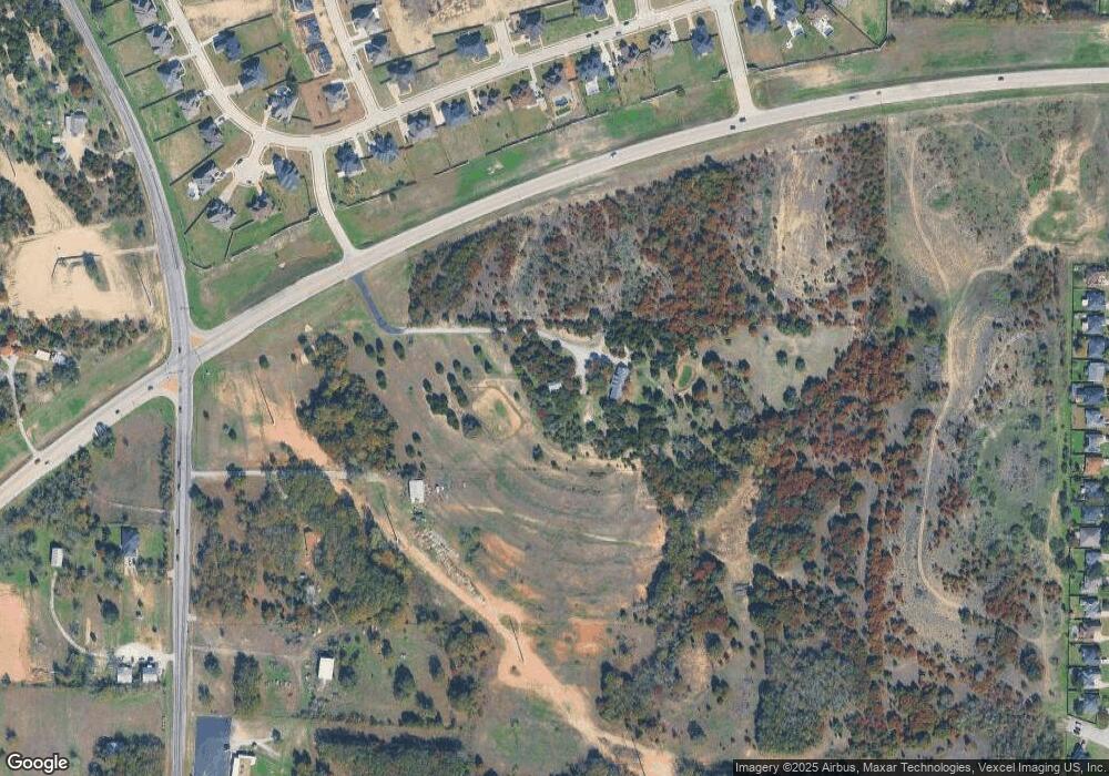
Map
Nearby Homes
- 2000 Vanderbilt Dr
- 104 Lagrange Ct
- 2020 Vanderbilt Dr
- 125 Odel Dr
- 2117 Pepperdine Dr
- Lot 11 Pepperdine Dr
- Lot 12 Pepperdine Dr
- Lot 10 Pepperdine Dr
- 1813 Roadrunner Dr
- 2016 Vanderbilt Dr
- 2124 Pepperdine Dr
- 109 Odel Dr
- 1727 N Main St
- 1829 N Main St
- 1835 N Main St
- 105 Oxford Ct
- 522 W 7th St
- 1613 Franklin St
- 905 Zion Hill Rd
- 1713 N Main St
- 2060 NW Ric Williamson Memorial Hwy
- 2121 Vanderbilt Dr
- 2117 Vanderbilt Dr
- 2125 Vanderbilt Dr
- 510 Zion Hill Rd
- 2113 Vanderbilt Dr
- 2129 Vanderbilt Dr
- 2109 Vanderbilt Dr
- 2105 Vanderbilt Dr
- 2133 Vanderbilt Dr
- 2143 Vanderbilt Dr
- 2137 Vanderbilt Dr
- 410 Zion Hill Rd
- 2141 Vanderbilt Dr
- 2101 Vanderbilt
- 2112 Vanderbilt Dr
- 2120 Vanderbilt Dr
- 2108 Vanderbilt Dr
- TBD Lot 1 Blk 3
- TBD Lot 10 Blk 3