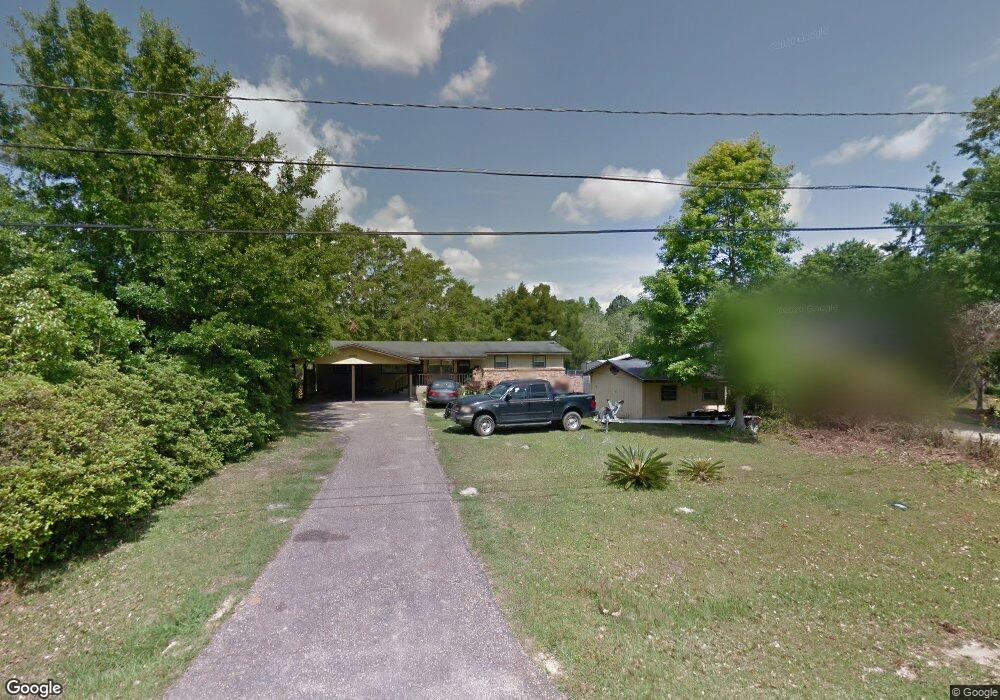
4600 Canal Cir W Mobile, AL 36619
Cypress Shores NeighborhoodEstimated Value: $208,000 - $302,000
--
Bed
2
Baths
2,116
Sq Ft
$125/Sq Ft
Est. Value
About This Home
This home is located at 4600 Canal Cir W, Mobile, AL 36619 and is currently estimated at $263,663, approximately $124 per square foot. 4600 Canal Cir W is a home located in Mobile County with nearby schools including Mary W Burroughs Elementary School, Katherine H Hankins Middle School, and Theodore High School.
Ownership History
Date
Name
Owned For
Owner Type
Purchase Details
Closed on
Apr 13, 2007
Sold by
Tanner Joshua B and Poiroux Dennis E
Bought by
Jernigan Dale Edward and Jernigan Cynthia Russell
Current Estimated Value
Home Financials for this Owner
Home Financials are based on the most recent Mortgage that was taken out on this home.
Original Mortgage
$155,000
Outstanding Balance
$93,459
Interest Rate
6.1%
Mortgage Type
Unknown
Estimated Equity
$170,204
Purchase Details
Closed on
Sep 30, 2005
Sold by
Knight James W and Knight Ethel Mcknight
Bought by
Tanner Joshua B and Poiroux Dennis E
Create a Home Valuation Report for This Property
The Home Valuation Report is an in-depth analysis detailing your home's value as well as a comparison with similar homes in the area
Home Values in the Area
Average Home Value in this Area
Purchase History
| Date | Buyer | Sale Price | Title Company |
|---|---|---|---|
| Jernigan Dale Edward | $155,500 | Gtc | |
| Tanner Joshua B | $65,000 | Slt |
Source: Public Records
Mortgage History
| Date | Status | Borrower | Loan Amount |
|---|---|---|---|
| Open | Jernigan Dale Edward | $155,000 |
Source: Public Records
Tax History Compared to Growth
Tax History
| Year | Tax Paid | Tax Assessment Tax Assessment Total Assessment is a certain percentage of the fair market value that is determined by local assessors to be the total taxable value of land and additions on the property. | Land | Improvement |
|---|---|---|---|---|
| 2024 | -- | $25,720 | $5,000 | $20,720 |
| 2023 | $0 | $28,190 | $6,830 | $21,360 |
| 2022 | $0 | $27,010 | $6,830 | $20,180 |
| 2021 | $0 | $26,460 | $6,830 | $19,630 |
| 2020 | $867 | $26,560 | $6,830 | $19,730 |
| 2019 | $867 | $26,420 | $0 | $0 |
| 2018 | $867 | $13,660 | $0 | $0 |
| 2017 | $867 | $13,660 | $0 | $0 |
| 2016 | $821 | $13,980 | $0 | $0 |
| 2013 | $766 | $13,000 | $0 | $0 |
Source: Public Records
Map
Nearby Homes
- 4087 Canal Cir E
- 4073 Canal Cir E
- 4601 Cypress Shores Dr
- 4601 Cypress Shores Dr Unit 1
- 4525 Brentwood Dr
- 4219 Canal Dr
- 3875 Patricia Dr
- 3923 Patricia Dr
- 3923 Cypress Shores Dr N
- 4301 Sawyer Ave
- 3865 Cypress Shores Dr N
- 4586 Cypress Park Dr
- 0 Downey Dr Unit 7684534
- 4323 Downey Dr
- 0 Cypress Business Park Dr Unit 30 372505
- 0 Cypress Business Park Dr Unit 7506649
- 0 Cypress Business Park Dr Unit 7548657
- 4055 Riviere Du Chien Rd
- 4082 Dawson Dr
- 4100 Todd Blvd
- 4604 Canal Cir W
- 4620 Canal Cir W
- 4612 Canal Cir W
- 4618 Canal Cir W
- 4127 Canal Cir E
- 4575 Cypress Shores Dr
- 4581 Cypress Cir
- 4576 Canal Cir W
- 4619 Canal Cir W
- 4571 Cypress Cir
- 4601 Canal Cir W Unit 2
- 4601 Canal Cir W
- 4579 Canal Cir W
- 4113 Canal Cir E
- 4563 Cypress Shores Dr
- 4585 Cypress Cir
- 26 Cypress Cir Unit 26
- 29 Cypress Cir Unit 29
- 30 Cypress Cir Unit 30
- 24 Cypress Cir Unit 24