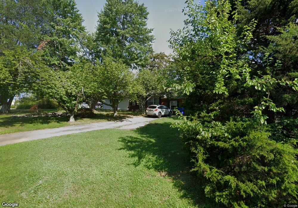
4600 Coastal Blvd White Plains, MD 20695
Estimated Value: $342,000 - $395,000
--
Bed
1
Bath
1,629
Sq Ft
$228/Sq Ft
Est. Value
About This Home
This home is located at 4600 Coastal Blvd, White Plains, MD 20695 and is currently estimated at $371,584, approximately $228 per square foot. 4600 Coastal Blvd is a home located in Charles County with nearby schools including Dr. James Craik Elementary School, Milton M. Somers Middle School, and Maurice J. McDonough High School.
Ownership History
Date
Name
Owned For
Owner Type
Purchase Details
Closed on
Nov 26, 2003
Sold by
Jeffries Robert J and Jeffries Patricia A
Bought by
Johnson Jason M
Current Estimated Value
Purchase Details
Closed on
Aug 6, 1981
Sold by
Gott John A and Gott Linda L
Bought by
Jeffries Robert J and Jeffries Patricia A
Home Financials for this Owner
Home Financials are based on the most recent Mortgage that was taken out on this home.
Original Mortgage
$59,750
Interest Rate
17.11%
Create a Home Valuation Report for This Property
The Home Valuation Report is an in-depth analysis detailing your home's value as well as a comparison with similar homes in the area
Home Values in the Area
Average Home Value in this Area
Purchase History
| Date | Buyer | Sale Price | Title Company |
|---|---|---|---|
| Johnson Jason M | $168,000 | -- | |
| Jeffries Robert J | $63,500 | -- |
Source: Public Records
Mortgage History
| Date | Status | Borrower | Loan Amount |
|---|---|---|---|
| Previous Owner | Jeffries Robert J | $59,750 | |
| Closed | Johnson Jason M | -- |
Source: Public Records
Tax History Compared to Growth
Tax History
| Year | Tax Paid | Tax Assessment Tax Assessment Total Assessment is a certain percentage of the fair market value that is determined by local assessors to be the total taxable value of land and additions on the property. | Land | Improvement |
|---|---|---|---|---|
| 2025 | $4,252 | $295,900 | $120,200 | $175,700 |
| 2024 | $3,895 | $271,267 | $0 | $0 |
| 2023 | $3,524 | $246,633 | $0 | $0 |
| 2022 | $3,191 | $222,000 | $110,200 | $111,800 |
| 2021 | $3,070 | $219,367 | $0 | $0 |
| 2020 | $3,070 | $216,733 | $0 | $0 |
| 2019 | $3,017 | $214,100 | $110,200 | $103,900 |
| 2018 | $2,832 | $202,700 | $0 | $0 |
| 2017 | $2,675 | $191,300 | $0 | $0 |
| 2016 | -- | $179,900 | $0 | $0 |
| 2015 | $2,298 | $179,900 | $0 | $0 |
| 2014 | $2,298 | $179,900 | $0 | $0 |
Source: Public Records
Map
Nearby Homes
- 10185 Marshall Corner Rd
- 10155 Dogwood Dr
- 4550 Tate St
- 4790 Ford Ct
- 4785 Ford Ct
- 9880 Faith Baptist Church Rd
- 10526 Willetts Crossing Rd
- 5100 Crisfield Manor Ct
- 10691 Millport St
- 10664 Deacon Rd
- 10841 Nautica Place
- 4340 Crain Hwy
- 10611 Riva Place
- Lot 14 Billingsley Rd
- Lot 13 Billingsley Rd
- 9555 Hawksbury Place
- Lot 12 Park Ave
- 11-B Park Park Ave
- lot 13 Park Ave
- lot 3 Park Ave
- 10135 Marshall Corner Rd
- 4604 Coastal Blvd
- 4605 Coastal Blvd
- 4608 Coastal Blvd
- 4600 Padgett Rd
- 10145 Marshall Corner Rd
- 10105 Marshall Corner Rd
- 4612 Coastal Blvd
- 10114 Bruns Ave
- 10117 Bruns Ave
- 10165 Marshall Corner Rd
- 10160 Dogwood Dr
- 4250 Foxburrow Place
- 4616 Coastal Blvd
- 4613 Coastal Blvd
- 10095 Marshall Corner Rd
- 10150 Dogwood Dr
- 10113 Bruns Ave
- 4620 Coastal Blvd
- 10085 Marshall Corner Rd