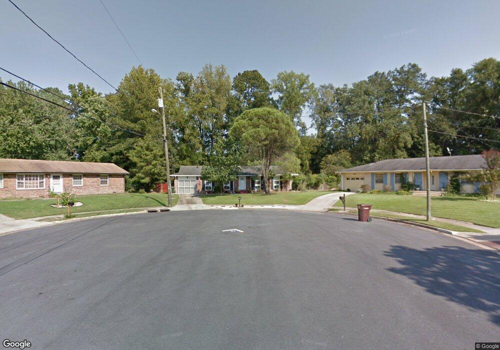
4600 Jaye Cir Chesapeake, VA 23321
Western Branch NeighborhoodEstimated Value: $361,351 - $399,000
3
Beds
2
Baths
1,479
Sq Ft
$260/Sq Ft
Est. Value
About This Home
This home is located at 4600 Jaye Cir, Chesapeake, VA 23321 and is currently estimated at $384,588, approximately $260 per square foot. 4600 Jaye Cir is a home located in Chesapeake City with nearby schools including Edwin W. Chittum Elementary School, Jolliff Middle School, and Western Branch High School.
Ownership History
Date
Name
Owned For
Owner Type
Purchase Details
Closed on
Nov 22, 2016
Sold by
Podruchy Richard M and Podruchy Carolyn G
Bought by
Baker Joseph A and Baker Jessica P
Current Estimated Value
Home Financials for this Owner
Home Financials are based on the most recent Mortgage that was taken out on this home.
Original Mortgage
$215,650
Outstanding Balance
$173,402
Interest Rate
3.47%
Mortgage Type
New Conventional
Estimated Equity
$211,186
Create a Home Valuation Report for This Property
The Home Valuation Report is an in-depth analysis detailing your home's value as well as a comparison with similar homes in the area
Home Values in the Area
Average Home Value in this Area
Purchase History
| Date | Buyer | Sale Price | Title Company |
|---|---|---|---|
| Baker Joseph A | $227,000 | Seashore Title & Settlements |
Source: Public Records
Mortgage History
| Date | Status | Borrower | Loan Amount |
|---|---|---|---|
| Open | Baker Joseph A | $215,650 |
Source: Public Records
Tax History
| Year | Tax Paid | Tax Assessment Tax Assessment Total Assessment is a certain percentage of the fair market value that is determined by local assessors to be the total taxable value of land and additions on the property. | Land | Improvement |
|---|---|---|---|---|
| 2025 | $3,164 | $338,600 | $165,000 | $173,600 |
| 2024 | $3,164 | $313,300 | $160,000 | $153,300 |
| 2023 | $2,736 | $294,000 | $150,000 | $144,000 |
| 2022 | $2,742 | $271,500 | $125,000 | $146,500 |
| 2021 | $2,489 | $237,000 | $105,000 | $132,000 |
| 2020 | $2,437 | $232,100 | $105,000 | $127,100 |
| 2019 | $2,410 | $229,500 | $100,000 | $129,500 |
| 2018 | $2,314 | $204,500 | $80,000 | $124,500 |
| 2017 | $2,213 | $210,800 | $90,000 | $120,800 |
| 2016 | $2,147 | $204,500 | $80,000 | $124,500 |
| 2015 | $2,147 | $204,500 | $80,000 | $124,500 |
| 2014 | $2,147 | $204,500 | $80,000 | $124,500 |
Source: Public Records
Map
Nearby Homes
- 2156 Seastone Trace
- 4914 Breck Ln
- 4916 Breck Ln
- 4922 Apricot Way
- 4930 Apricot Way
- 2133 Portsmouth Blvd
- 4934 Apricot Way
- 4936 Apricot Way
- 4942 Apricot Way
- 4944 Apricot Way
- 4946 Apricot Way
- 4948 Apricot Way
- 4950 Apricot Way
- 4954 Apricot Way
- 4956 Apricot Way
- 4958 Apricot Way
- 4960 Apricot Way
- 4316 Hillingdon Bend Unit 304
- 4808 Oriole Dr
- 4309 Hillingdon Bend Unit 303
- 4605 Jaye Cir
- 4604 Jaye Cir
- 4609 Jaye Cir
- 4608 Jaye Cir
- 4613 Jaye Cir
- 4612 Jaye Cir
- 4601 Moore Cir
- 4616 Jaye Cir
- 4605 Moore Cir
- 4617 Jaye Cir
- 1937 Old Jolliff Rd
- 4600 Moore Cir
- 4620 Jaye Cir
- 4621 Jaye Cir
- 4609 Moore Cir
- 4604 Moore Cir
- 4600 Old Woodland Dr
- 4625 Jaye Cir
- 4608 Moore Cir
- 1901 Old Jolliff Rd
Your Personal Tour Guide
Ask me questions while you tour the home.