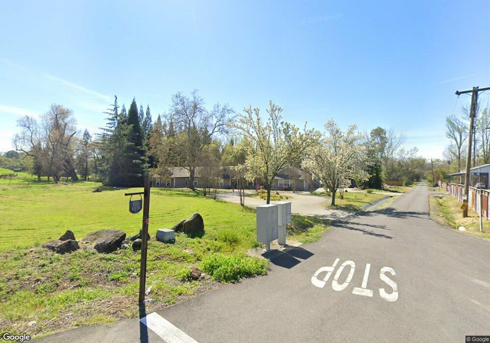
4600 Laird Rd Loomis, CA 95650
Estimated Value: $556,000 - $1,862,000
4
Beds
4
Baths
3,820
Sq Ft
$331/Sq Ft
Est. Value
About This Home
This home is located at 4600 Laird Rd, Loomis, CA 95650 and is currently estimated at $1,262,658, approximately $330 per square foot. 4600 Laird Rd is a home located in Placer County with nearby schools including Del Oro High School, Loomis Basin Charter School, and Sierra Foothills Academy.
Ownership History
Date
Name
Owned For
Owner Type
Purchase Details
Closed on
Sep 30, 2013
Sold by
Wells Fargo Bank Na
Bought by
Borba Joshua M and Borba Alexis V
Current Estimated Value
Home Financials for this Owner
Home Financials are based on the most recent Mortgage that was taken out on this home.
Original Mortgage
$450,000
Interest Rate
4.49%
Mortgage Type
New Conventional
Purchase Details
Closed on
Nov 16, 2011
Sold by
Magleby Corey Niel and Magleby Jennifer Briggs
Bought by
Wells Fargo Bank Na
Create a Home Valuation Report for This Property
The Home Valuation Report is an in-depth analysis detailing your home's value as well as a comparison with similar homes in the area
Home Values in the Area
Average Home Value in this Area
Purchase History
We collect this data history from publicly available records. To have your information removed, we recommend requesting removal directly through your county’s website.
| Date | Buyer | Sale Price | Title Company |
|---|---|---|---|
| Borba Joshua M | $450,000 | Old Republic Title Company | |
| Wells Fargo Bank Na | $632,964 | Accommodation |
Source: Public Records
Mortgage History
We collect this data history from publicly available records. To have your information removed, we recommend requesting removal directly through your county’s website.
| Date | Status | Borrower | Loan Amount |
|---|---|---|---|
| Previous Owner | Borba Joshua M | $450,000 |
Source: Public Records
Tax History
| Year | Tax Paid | Tax Assessment Tax Assessment Total Assessment is a certain percentage of the fair market value that is determined by local assessors to be the total taxable value of land and additions on the property. | Land | Improvement |
|---|---|---|---|---|
| 2025 | $6,054 | $551,628 | $183,874 | $367,754 |
| 2023 | $6,054 | $530,210 | $176,735 | $353,475 |
| 2022 | $5,941 | $519,815 | $173,270 | $346,545 |
| 2021 | $5,785 | $509,623 | $169,873 | $339,750 |
| 2020 | $5,712 | $504,399 | $168,132 | $336,267 |
| 2019 | $5,612 | $494,510 | $164,836 | $329,674 |
| 2018 | $5,318 | $484,814 | $161,604 | $323,210 |
| 2017 | $5,224 | $475,309 | $158,436 | $316,873 |
| 2016 | $5,110 | $465,990 | $155,330 | $310,660 |
| 2015 | $5,002 | $458,991 | $152,997 | $305,994 |
| 2014 | $4,922 | $450,000 | $150,000 | $300,000 |
Source: Public Records
Map
Nearby Homes
- 5 Wishing Well Rd
- 4 Wishing Well Rd
- 6 Wishing Well Rd
- 7333 Surette Ln
- 7257 Surette Ln
- 5738 Golden Pond Dr
- 5726 Secret Creek Dr
- 1000 Creekside Ln
- 3934 Happy Rd
- 6332 Horseshoe Bar Rd
- 5638 Lakepointe Dr
- 4841 Val Verde Rd
- 5827 Tree Swallow Cir
- 7021 Horseshoe Bar Rd
- 4835 Val Verde Rd
- 5301 Montserrat Ln
- 5854 Brace Rd
- 0 Hickey Trl Lot 19 Unit 226022426
- 5475 Laird Rd
- 5315 Canter Ct
- 6755 Wishing Well Way
- 6714 Wishing Well Way
- 4514 Laird Rd
- 4612 Laird Rd
- 6675 Wishing Well Way
- 4469 Laird Rd
- 4479 Laird Rd
- 4561 Laird Rd
- 4515 Laird Rd
- 6670 Wishing Well Way
- 6650 Wishing Well Way
- 4410 Laird Rd
- 6985 Brooks Ln
- 6647 Wishing Well Way
- 6965 Brooks Ln
- 6755 Napoleon Dr
- 6806 White Ln
- 6840 Napoleon Dr
- 6810 Napoleon Dr
- 6639 Wishing Well Way
Your Personal Tour Guide
Ask me questions while you tour the home.