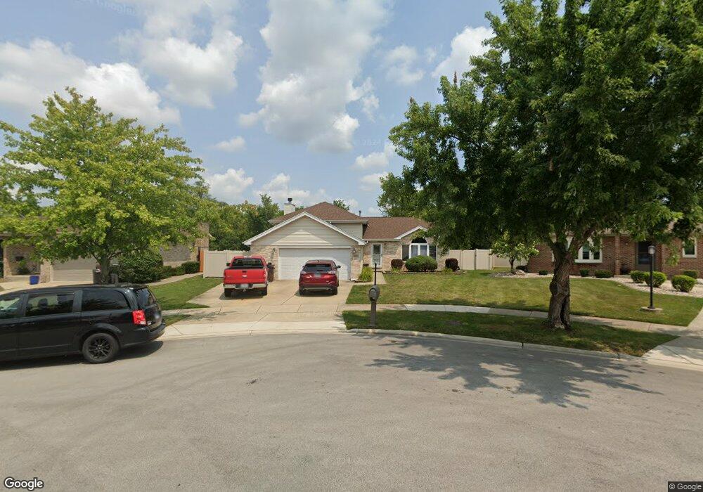
4600 Oakridge Ave Oak Forest, IL 60452
Estimated Value: $267,000 - $319,057
3
Beds
3
Baths
1,386
Sq Ft
$216/Sq Ft
Est. Value
About This Home
This home is located at 4600 Oakridge Ave, Oak Forest, IL 60452 and is currently estimated at $298,764, approximately $215 per square foot. 4600 Oakridge Ave is a home located in Cook County with nearby schools including Kimberly Heights Elementary School, Scarlet Oak Elementary School, and Arbor Park Middle School.
Ownership History
Date
Name
Owned For
Owner Type
Purchase Details
Closed on
Jun 28, 1999
Sold by
First National Bank Of Blue Island
Bought by
Hull Debra
Current Estimated Value
Home Financials for this Owner
Home Financials are based on the most recent Mortgage that was taken out on this home.
Original Mortgage
$171,418
Outstanding Balance
$46,954
Interest Rate
7.28%
Estimated Equity
$251,810
Create a Home Valuation Report for This Property
The Home Valuation Report is an in-depth analysis detailing your home's value as well as a comparison with similar homes in the area
Home Values in the Area
Average Home Value in this Area
Purchase History
| Date | Buyer | Sale Price | Title Company |
|---|---|---|---|
| Hull Debra | $180,500 | -- |
Source: Public Records
Mortgage History
| Date | Status | Borrower | Loan Amount |
|---|---|---|---|
| Open | Hull Debra | $171,418 |
Source: Public Records
Tax History Compared to Growth
Tax History
| Year | Tax Paid | Tax Assessment Tax Assessment Total Assessment is a certain percentage of the fair market value that is determined by local assessors to be the total taxable value of land and additions on the property. | Land | Improvement |
|---|---|---|---|---|
| 2024 | $9,289 | $29,001 | $4,219 | $24,782 |
| 2023 | $7,367 | $29,001 | $4,219 | $24,782 |
| 2022 | $7,367 | $19,236 | $3,643 | $15,593 |
| 2021 | $7,227 | $19,236 | $3,643 | $15,593 |
| 2020 | $7,445 | $20,098 | $3,643 | $16,455 |
| 2019 | $7,767 | $20,739 | $3,259 | $17,480 |
| 2018 | $7,594 | $20,739 | $3,259 | $17,480 |
| 2017 | $7,585 | $20,739 | $3,259 | $17,480 |
| 2016 | $6,877 | $17,651 | $2,876 | $14,775 |
| 2015 | $6,625 | $17,651 | $2,876 | $14,775 |
| 2014 | $6,484 | $17,651 | $2,876 | $14,775 |
| 2013 | $6,807 | $20,401 | $2,876 | $17,525 |
Source: Public Records
Map
Nearby Homes
- 16465 Roy St
- 16453 Harold St
- 4401 Adele Ln
- 16409 Craig Dr
- 16524 Brockton Ln
- 4348 Mann St
- 4363 Henry St
- 16224 S Cicero Ave
- 4316 Mann St
- 16740 Forest Ave
- 4230 Barry Ln
- 16104 Oak Ave
- 16934 Cicero Ave
- 16938 Cicero Ave
- 5112 Deerpath Rd Unit 4
- 5103 Elmwood Rd
- 15240 S Cicero Ave
- 5150 Shadow Creek Dr Unit 4
- 5185 Greentree Rd
- 5256 169th Place
- 4606 Oakridge Ave
- 16455 Lockridge Ave
- 4614 Oakridge Ave
- 16459 Lockridge Ave
- 4622 Oakridge Ave
- 16501 Lockridge Ave
- 4605 Oakridge Ave
- 16468 George Dr
- 16464 George Dr
- 4613 Oakridge Ave
- 16500 George Dr
- 4630 Oakridge Ave
- 16460 George Dr
- 16511 Lockridge Ave
- 16504 George Dr
- 4621 Oakridge Ave
- 16508 George Dr
- 16521 Lockridge Ave
- 4638 Oakridge Ave
- 4629 Oakridge Ave