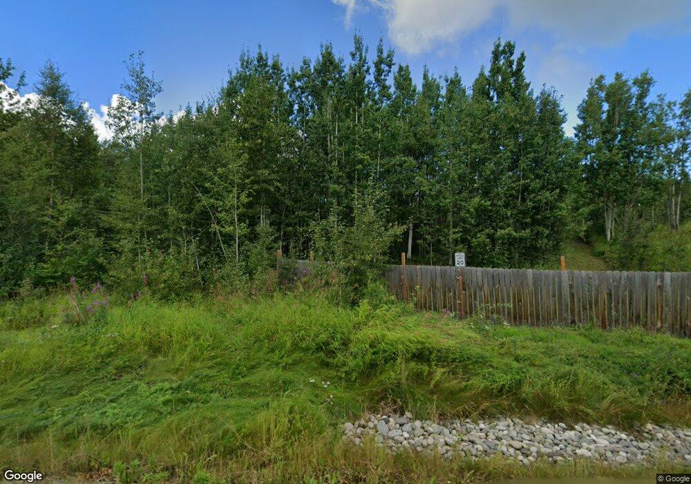
4600 S Canter Cir Wasilla, AK 99654
Estimated Value: $292,000 - $489,000
3
Beds
3
Baths
2,600
Sq Ft
$159/Sq Ft
Est. Value
About This Home
This home is located at 4600 S Canter Cir, Wasilla, AK 99654 and is currently estimated at $414,615, approximately $159 per square foot. 4600 S Canter Cir is a home located in Matanuska-Susitna Borough with nearby schools including Snowshoe Elementary School, Wasilla Middle School, and Wasilla High School.
Ownership History
Date
Name
Owned For
Owner Type
Purchase Details
Closed on
May 29, 2007
Sold by
Dimaggio Peter A
Bought by
Rousey James and Rousey Erna
Current Estimated Value
Purchase Details
Closed on
Jan 31, 2006
Sold by
Belardi Leta
Bought by
Dimaggio Peter A
Purchase Details
Closed on
Mar 3, 2005
Sold by
Shaw Teresa
Bought by
Matanuska Susitna Borough
Purchase Details
Closed on
Oct 21, 2003
Sold by
Cross Donald
Bought by
Dimaggio Peter A
Create a Home Valuation Report for This Property
The Home Valuation Report is an in-depth analysis detailing your home's value as well as a comparison with similar homes in the area
Home Values in the Area
Average Home Value in this Area
Purchase History
| Date | Buyer | Sale Price | Title Company |
|---|---|---|---|
| Rousey James | -- | None Available | |
| Dimaggio Peter A | $163,486 | None Available | |
| Matanuska Susitna Borough | -- | -- | |
| Dimaggio Peter A | -- | -- |
Source: Public Records
Tax History Compared to Growth
Tax History
| Year | Tax Paid | Tax Assessment Tax Assessment Total Assessment is a certain percentage of the fair market value that is determined by local assessors to be the total taxable value of land and additions on the property. | Land | Improvement |
|---|---|---|---|---|
| 2025 | $4,670 | $379,900 | $98,600 | $281,300 |
| 2024 | $4,670 | $374,400 | $98,600 | $275,800 |
| 2023 | $4,489 | $368,500 | $98,600 | $269,900 |
| 2022 | $4,452 | $342,900 | $98,600 | $244,300 |
| 2021 | $4,549 | $316,500 | $98,600 | $217,900 |
| 2020 | $4,459 | $300,600 | $98,600 | $202,000 |
| 2019 | $1,068 | $289,400 | $98,600 | $190,800 |
| 2018 | $1,070 | $277,900 | $98,600 | $179,300 |
| 2017 | $1,039 | $287,800 | $98,600 | $189,200 |
| 2016 | $1,048 | $290,200 | $98,600 | $191,600 |
| 2015 | $1,375 | $281,100 | $95,000 | $186,100 |
| 2014 | $1,375 | $277,200 | $95,000 | $182,200 |
Source: Public Records
Map
Nearby Homes
- 3120 W Riverdell Dr
- 2901 W Riverdell Dr
- 4600 Redoubt Dr
- 3915 Demaree Cir
- 3762 S Lansing Rd
- 2501 W Trapline Dr
- 4751 W Monument Cir
- 3590 S Caryshea St
- 5047 Cardiff Ln
- 2851 S Old Knik Cir
- 4901 W Christina Ct
- 3140 S Heritage Farm Rd
- 4190 W Overby St
- 5200 W Bromley Dr
- 2840 S Red Birch Dr
- 5601 Cape Birch Dr
- 4344 S Pinnacle Peak Dr
- 2755 S Avalon Cir
- 2745 S Hatcher Pass St
- 4668 W New Larkspur Loop
- 3534 W Lynn Dr
- 3488 W Lynn Cir
- 3570 W Lynn Dr
- 3596 W Lynn Dr
- 3450 W Lynn Cir
- 3450 W Lynn Cir
- 3488 Lynn Dr
- L4 B2 Lynn Dr
- 4412 S Ivan Cir
- 3620 W Lynn Dr
- 3621 W Lynn Dr
- 4650 N Canter Cir
- 3551 W Lynn Dr
- 3416 W Lynn Cir
- 3577 W Lynn Dr
- 4500 S Canter Cir
- 3621 Lynn Dr
- 3439 W Lynn Cir
- 3701 W Chestnut Ln
- 3400 Lynn Dr
