4600 Thornton Hwy Charlotte, MI 48813
Estimated Value: $200,194 - $273,000
2
Beds
1
Bath
1,008
Sq Ft
$226/Sq Ft
Est. Value
About This Home
This home is located at 4600 Thornton Hwy, Charlotte, MI 48813 and is currently estimated at $227,799, approximately $225 per square foot. 4600 Thornton Hwy is a home located in Eaton County with nearby schools including Parkview Elementary School, Charlotte Middle School, and Charlotte Upper Elementary School.
Ownership History
Date
Name
Owned For
Owner Type
Purchase Details
Closed on
Apr 4, 2011
Sold by
Secretary Of Housing & Urban Development
Bought by
Lacross Scott
Current Estimated Value
Home Financials for this Owner
Home Financials are based on the most recent Mortgage that was taken out on this home.
Original Mortgage
$71,502
Outstanding Balance
$49,766
Interest Rate
4.99%
Mortgage Type
New Conventional
Estimated Equity
$178,033
Purchase Details
Closed on
Dec 29, 2010
Sold by
Gmac Mortgage Llc
Bought by
Secretary Of Housing & Urban Development
Purchase Details
Closed on
Jul 9, 2010
Sold by
Mortgage Electronic Registration Systems
Bought by
Gmac Mortgage Llc
Purchase Details
Closed on
May 13, 2010
Sold by
Priest Dennis L and Priest Betty R
Bought by
Mortgage Electronic Registration Systems
Create a Home Valuation Report for This Property
The Home Valuation Report is an in-depth analysis detailing your home's value as well as a comparison with similar homes in the area
Home Values in the Area
Average Home Value in this Area
Purchase History
| Date | Buyer | Sale Price | Title Company |
|---|---|---|---|
| Lacross Scott | $69,000 | None Available | |
| Secretary Of Housing & Urban Development | -- | None Available | |
| Gmac Mortgage Llc | -- | None Available | |
| Mortgage Electronic Registration Systems | $135,208 | None Available |
Source: Public Records
Mortgage History
| Date | Status | Borrower | Loan Amount |
|---|---|---|---|
| Open | Lacross Scott | $71,502 |
Source: Public Records
Tax History Compared to Growth
Tax History
| Year | Tax Paid | Tax Assessment Tax Assessment Total Assessment is a certain percentage of the fair market value that is determined by local assessors to be the total taxable value of land and additions on the property. | Land | Improvement |
|---|---|---|---|---|
| 2025 | $1,823 | $77,540 | $0 | $0 |
| 2024 | $562 | $69,240 | $0 | $0 |
| 2023 | $536 | $57,640 | $0 | $0 |
| 2022 | $1,364 | $59,060 | $0 | $0 |
| 2021 | $1,300 | $56,810 | $0 | $0 |
| 2020 | $1,293 | $55,400 | $0 | $0 |
| 2019 | $1,267 | $51,100 | $0 | $0 |
| 2018 | $1,227 | $47,625 | $0 | $0 |
| 2017 | $1,184 | $49,382 | $0 | $0 |
| 2016 | -- | $47,255 | $0 | $0 |
| 2015 | -- | $46,423 | $0 | $0 |
| 2014 | -- | $39,274 | $0 | $0 |
| 2013 | -- | $44,502 | $0 | $0 |
Source: Public Records
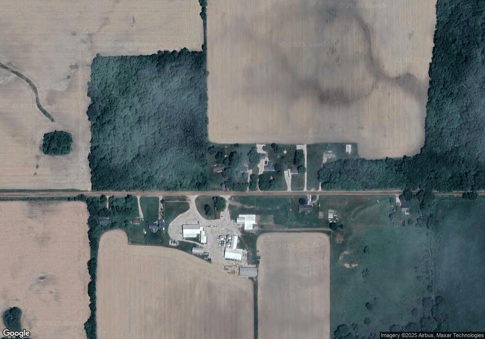
Map
Nearby Homes
- 0 Pinebluff Dr Parcel G Unit 258027
- 0 Pinebluff Dr Parcel P Unit 258042
- 0 Parcel A Pinebluff Dr Unit 257983
- 0 Pinebluff Dr Unit 265338
- 4755 Carlisle Hwy
- 0 Montels Parcel H Way
- Vl Montels Parcel D Way
- 854 S Ainger Rd
- 4783 S Stine Rd
- 0 Elm Rd
- 220 N Chester Rd
- 4840 Walton Hwy
- 4450 Hicks Hwy
- 7074 S Ainger Rd
- 5750 Messenger Hwy
- 827 Walnut St
- 4737 Hicks Hwy
- 0 Wildt Hwy Unit 25051551
- 0 Wildt Hwy Unit 25051557
- 0 Wildt Hwy Unit 25051552
- 4578 Thornton Hwy
- 4634 Thornton Hwy
- 4546 Thornton Hwy
- 4621 Thornton Hwy
- 4535 Thornton Hwy
- 4500 Thornton Hwy
- 4683 Thornton Hwy
- 4687 Thornton Hwy
- 4748 Thornton Hwy
- 3053 S Ainger Rd
- 2951 S Ainger Rd
- 5013 Thornton Hwy
- 4537 Cole Hwy
- 4101 Thornton Hwy
- 4093 Thornton Hwy
- 3176 S Ainger Rd
- 4448 Cole Hwy
- 2635 S Ainger Rd
- 5073 Thornton Hwy
- 4746 Bracey Hwy