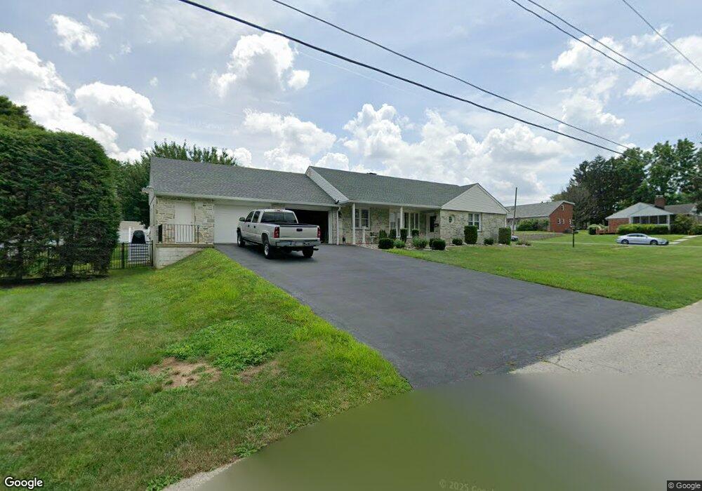
4601 Barry Rd Philadelphia, PA 19114
Torresdale NeighborhoodEstimated Value: $444,000 - $512,000
--
Bed
--
Bath
1,860
Sq Ft
$259/Sq Ft
Est. Value
About This Home
This home is located at 4601 Barry Rd, Philadelphia, PA 19114 and is currently estimated at $481,545, approximately $258 per square foot. 4601 Barry Rd is a home located in Philadelphia County with nearby schools including Thomas Holme School, Lincoln High School, and Meehan Austin Middle School.
Ownership History
Date
Name
Owned For
Owner Type
Purchase Details
Closed on
May 17, 2002
Sold by
Bittenbender Carl S and Bittenbender Barbara
Bought by
Cosgrove Michael F and Cosgrove Cathy L
Current Estimated Value
Home Financials for this Owner
Home Financials are based on the most recent Mortgage that was taken out on this home.
Original Mortgage
$212,000
Outstanding Balance
$90,023
Interest Rate
7.01%
Estimated Equity
$391,522
Create a Home Valuation Report for This Property
The Home Valuation Report is an in-depth analysis detailing your home's value as well as a comparison with similar homes in the area
Home Values in the Area
Average Home Value in this Area
Purchase History
| Date | Buyer | Sale Price | Title Company |
|---|---|---|---|
| Cosgrove Michael F | $265,000 | -- |
Source: Public Records
Mortgage History
| Date | Status | Borrower | Loan Amount |
|---|---|---|---|
| Open | Cosgrove Michael F | $212,000 |
Source: Public Records
Tax History Compared to Growth
Tax History
| Year | Tax Paid | Tax Assessment Tax Assessment Total Assessment is a certain percentage of the fair market value that is determined by local assessors to be the total taxable value of land and additions on the property. | Land | Improvement |
|---|---|---|---|---|
| 2025 | $5,283 | $429,700 | $85,940 | $343,760 |
| 2024 | $5,283 | $429,700 | $85,940 | $343,760 |
| 2023 | $5,283 | $377,400 | $75,480 | $301,920 |
| 2022 | $3,827 | $332,400 | $75,480 | $256,920 |
| 2021 | $4,457 | $0 | $0 | $0 |
| 2020 | $4,457 | $0 | $0 | $0 |
| 2019 | $4,268 | $0 | $0 | $0 |
| 2018 | $3,961 | $0 | $0 | $0 |
| 2017 | $3,961 | $0 | $0 | $0 |
| 2016 | $3,541 | $0 | $0 | $0 |
| 2015 | $3,390 | $0 | $0 | $0 |
| 2014 | -- | $283,000 | $230,640 | $52,360 |
| 2012 | -- | $37,760 | $10,282 | $27,478 |
Source: Public Records
Map
Nearby Homes
- 4512 Convent Ln
- 5100 Convent Ln Unit 313
- 4000-2 Fitler St
- 4529 Pearson Ave
- 9321 Jackson St
- 9401 Tulip St
- 9321 Walker St
- 9246 Edmund St
- 3994 Constance Rd
- 5100 00 Convent Ln Unit 118
- 4953 Fitler St Units #K & #L
- 5010 N Convent Ln Unit 130
- 5008 N Convent Ln Unit 276
- 3544 Fitler St
- 62004 00 Delaire Landing Rd Unit 4
- 3550 Primrose Rd
- 6311 00 Delaire Landing Rd Unit 311
- 9301 State Rd
- 3204 00 Delaire Landing Rd Unit 3204
- 53304 00 Delaire Landing Rd Unit 304