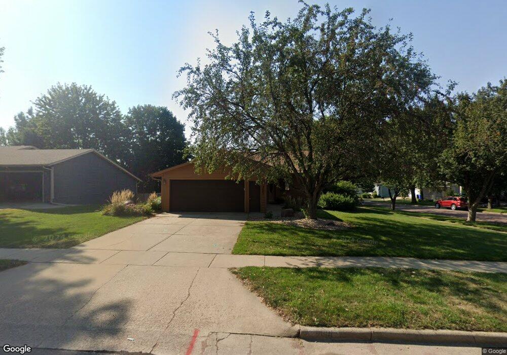
4601 E Fernwood Dr Sioux Falls, SD 57110
East Side NeighborhoodEstimated Value: $311,580 - $364,000
3
Beds
2
Baths
1,564
Sq Ft
$215/Sq Ft
Est. Value
About This Home
This home is located at 4601 E Fernwood Dr, Sioux Falls, SD 57110 and is currently estimated at $336,395, approximately $215 per square foot. 4601 E Fernwood Dr is a home located in Minnehaha County with nearby schools including Rosa Parks Elementary School, Washington High School, and Holy Spirit Elementary.
Ownership History
Date
Name
Owned For
Owner Type
Purchase Details
Closed on
Apr 8, 2024
Sold by
Penner John A and Penner Marilyn K
Bought by
Stenzel Cydney Catherine and Stenzel Reagan Curtis
Current Estimated Value
Home Financials for this Owner
Home Financials are based on the most recent Mortgage that was taken out on this home.
Original Mortgage
$260,910
Outstanding Balance
$256,770
Interest Rate
6.88%
Estimated Equity
$79,625
Create a Home Valuation Report for This Property
The Home Valuation Report is an in-depth analysis detailing your home's value as well as a comparison with similar homes in the area
Home Values in the Area
Average Home Value in this Area
Purchase History
| Date | Buyer | Sale Price | Title Company |
|---|---|---|---|
| Stenzel Cydney Catherine | $289,900 | -- | |
| Stenzel Cydney Catherine | $289,900 | -- |
Source: Public Records
Mortgage History
| Date | Status | Borrower | Loan Amount |
|---|---|---|---|
| Open | Stenzel Cydney Catherine | $260,910 | |
| Closed | Stenzel Cydney Catherine | $260,910 |
Source: Public Records
Tax History Compared to Growth
Tax History
| Year | Tax Paid | Tax Assessment Tax Assessment Total Assessment is a certain percentage of the fair market value that is determined by local assessors to be the total taxable value of land and additions on the property. | Land | Improvement |
|---|---|---|---|---|
| 2024 | $3,652 | $266,700 | $34,100 | $232,600 |
| 2023 | $3,671 | $258,300 | $34,100 | $224,200 |
| 2022 | $3,401 | $225,200 | $34,100 | $191,100 |
| 2021 | $3,092 | $184,400 | $0 | $0 |
| 2020 | $3,092 | $196,200 | $0 | $0 |
| 2019 | $2,875 | $178,704 | $0 | $0 |
| 2018 | $2,578 | $171,397 | $0 | $0 |
| 2017 | $2,538 | $160,511 | $30,132 | $130,379 |
| 2016 | $2,538 | $158,204 | $30,132 | $128,072 |
| 2015 | $2,479 | $148,453 | $28,458 | $119,995 |
| 2014 | -- | $144,427 | $28,865 | $115,562 |
Source: Public Records
Map
Nearby Homes
- 2405 S Chapelwood Ave
- 4700 E Alpine Cir
- 4604 E Belmont St
- 4509 E Belmont St
- 2520 S Alpine Ave
- 5117 E Blueridge Dr
- 4913 E 33rd St
- 2000 S Gordon Dr
- 4304 E 36th St
- 4409 E 36th St
- 2009 S Melanie Ln
- 5215 E Belmont St
- 4301 E 28th St
- 2621 S Avondale Ave
- 4435 E 37th St
- 4423 E 37th St
- 2213 S Saddle Ridge Dr
- 4304 E 37th St
- 2412 Saddle Ridge Dr
- 2408 Saddle Ridge Dr
- 4605 E Fernwood Dr
- 4600 E Blueridge Dr
- 4609 E Fernwood Dr
- 4604 E Blueridge Dr
- 2305 S Chapelwood Ave
- 4602 E Fernwood Dr
- 4604 E Fernwood Dr
- 4513 E Fernwood Dr
- 4608 E Blueridge Dr
- 4606 E Fernwood Dr
- 4600 E Fernwood Dr
- 4608 E Fernwood Dr
- 4612 E Blueridge Dr
- 4613 E Fernwood Dr
- 2309 S Chapelwood Ave
- 4610 E Fernwood Dr
- 4605 E Alpine Cir
- 2313 S Chapelwood Ave
- 4700 E Blueridge Dr
- 2400 S Chapelwood Ave