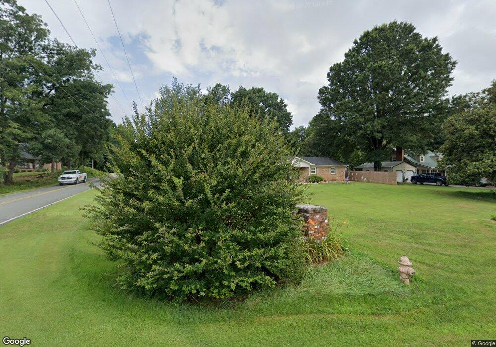
4601 Stanley Ct Winston Salem, NC 27101
Estimated Value: $248,000 - $262,000
3
Beds
4
Baths
2,944
Sq Ft
$87/Sq Ft
Est. Value
About This Home
This home is located at 4601 Stanley Ct, Winston Salem, NC 27101 and is currently estimated at $256,097, approximately $86 per square foot. 4601 Stanley Ct is a home located in Forsyth County with nearby schools including Cash Elementary, East Forsyth Middle, and East Forsyth High School.
Ownership History
Date
Name
Owned For
Owner Type
Purchase Details
Closed on
Jul 30, 1998
Sold by
Edward Winters Keith and Edward Diane Judy
Bought by
Lane Cornelius T and Lane Melody D
Current Estimated Value
Home Financials for this Owner
Home Financials are based on the most recent Mortgage that was taken out on this home.
Original Mortgage
$91,650
Outstanding Balance
$18,658
Interest Rate
6.94%
Mortgage Type
VA
Estimated Equity
$237,439
Create a Home Valuation Report for This Property
The Home Valuation Report is an in-depth analysis detailing your home's value as well as a comparison with similar homes in the area
Home Values in the Area
Average Home Value in this Area
Purchase History
| Date | Buyer | Sale Price | Title Company |
|---|---|---|---|
| Lane Cornelius T | $90,000 | -- |
Source: Public Records
Mortgage History
| Date | Status | Borrower | Loan Amount |
|---|---|---|---|
| Open | Lane Cornelius T | $91,650 |
Source: Public Records
Tax History Compared to Growth
Tax History
| Year | Tax Paid | Tax Assessment Tax Assessment Total Assessment is a certain percentage of the fair market value that is determined by local assessors to be the total taxable value of land and additions on the property. | Land | Improvement |
|---|---|---|---|---|
| 2025 | $741 | $211,800 | $42,000 | $169,800 |
| 2024 | $891 | $126,800 | $25,000 | $101,800 |
| 2023 | $891 | $126,800 | $25,000 | $101,800 |
| 2022 | $991 | $126,800 | $25,000 | $101,800 |
| 2021 | $991 | $126,800 | $25,000 | $101,800 |
| 2020 | $886 | $104,100 | $19,000 | $85,100 |
| 2019 | $901 | $104,100 | $19,000 | $85,100 |
| 2018 | $866 | $104,100 | $19,000 | $85,100 |
| 2016 | $834 | $99,667 | $23,000 | $76,667 |
| 2015 | $819 | $99,667 | $23,000 | $76,667 |
| 2014 | $794 | $99,667 | $23,000 | $76,667 |
Source: Public Records
Map
Nearby Homes
- 620 Walkertown Guthrie Rd
- 0 Vista Lindo Ct Unit 1190999
- 125 Brevard St
- 4244 Reidsville Rd
- 4265 Morning Ridge Ln
- 3971 Foliage Dr
- 3954 Foliage Dr
- 4405 Morning Ridge Ln
- 115 Glasmere Ct
- 125 Glasmere Ct
- 165 Glasmere Ct
- 185 Glasmere Ct
- 3256 Williston Ct
- 3853 Crusade Dr
- 2878 Amber Ln NE
- 4149 New Walkertown Rd
- 3684 Beeson Dairy Rd
- 4150 Moat Dr
- 305 High Knoll Dr
- 769 Morris Rd
- 4605 Stanley Ct
- 4600 Katies Trail
- 301 Spring Lake Farm Cir
- 4570 Manna Dr
- 4604 Katies Trail
- 4600 Stanley Ct
- 4604 Stanley Ct
- 499 Spring Lake Farm Cir
- 4560 Manna Dr
- Lot 11 Manna Dr
- 280 Spring Lake Farm Ct
- 4608 Katies Trail
- 4608 Stanley Ct
- 4613 Stanley Ct
- 020 Spring Lake
- 006 Spring Lake
- 495 Spring Lake Farm Cir
- 4603 Katies Trail
- 4612 Katies Trail
- 493 Spring Lake Farm Cir
